22550 Whitetail Ln Moss Point, MS 39562
Estimated Value: $230,000 - $441,376
--
Bed
--
Bath
2,688
Sq Ft
$131/Sq Ft
Est. Value
About This Home
This home is located at 22550 Whitetail Ln, Moss Point, MS 39562 and is currently estimated at $352,459, approximately $131 per square foot. 22550 Whitetail Ln is a home with nearby schools including East Central Lower Elementary School, East Central Upper Elementary School, and East Central Middle School.
Ownership History
Date
Name
Owned For
Owner Type
Purchase Details
Closed on
Aug 18, 2018
Sold by
Unknown
Bought by
Goff Victor A and Goff Veverly K
Current Estimated Value
Home Financials for this Owner
Home Financials are based on the most recent Mortgage that was taken out on this home.
Original Mortgage
$249,000
Outstanding Balance
$216,246
Interest Rate
4.5%
Mortgage Type
New Conventional
Estimated Equity
$136,213
Purchase Details
Closed on
May 22, 2013
Sold by
Crawford Jason Chad and Crawford Deborah Michelle
Bought by
Goff Victor A and Goff Beverly K
Create a Home Valuation Report for This Property
The Home Valuation Report is an in-depth analysis detailing your home's value as well as a comparison with similar homes in the area
Home Values in the Area
Average Home Value in this Area
Purchase History
| Date | Buyer | Sale Price | Title Company |
|---|---|---|---|
| Goff Victor A | -- | -- | |
| Goff Victor A | -- | Island Winds Title Company L |
Source: Public Records
Mortgage History
| Date | Status | Borrower | Loan Amount |
|---|---|---|---|
| Open | Goff Victor A | $249,000 |
Source: Public Records
Tax History Compared to Growth
Tax History
| Year | Tax Paid | Tax Assessment Tax Assessment Total Assessment is a certain percentage of the fair market value that is determined by local assessors to be the total taxable value of land and additions on the property. | Land | Improvement |
|---|---|---|---|---|
| 2024 | $2,455 | $22,945 | $1,160 | $21,785 |
| 2023 | $2,455 | $22,973 | $1,188 | $21,785 |
| 2022 | $2,384 | $23,002 | $1,217 | $21,785 |
| 2021 | $2,396 | $23,114 | $1,252 | $21,862 |
| 2020 | $2,414 | $22,454 | $1,248 | $21,206 |
| 2019 | $2,389 | $22,491 | $1,285 | $21,206 |
| 2018 | $2,387 | $22,048 | $1,287 | $20,761 |
| 2017 | $2,431 | $22,033 | $1,272 | $20,761 |
| 2016 | $2,317 | $21,985 | $1,224 | $20,761 |
| 2015 | $383 | $45,830 | $8,460 | $37,370 |
| 2014 | $372 | $4,845 | $1,207 | $3,638 |
| 2013 | $100 | $858 | $858 | $0 |
Source: Public Records
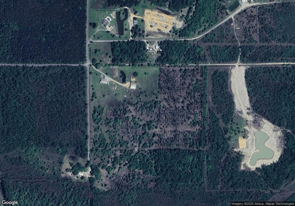
Map
Nearby Homes
- 21629 Mississippi 63
- 5402 Huckleberry Ln
- 21110 Highway 63
- Lot 32 Huckleberry Ln
- 24000 Robert e Lee Rd
- 37.9 Acres Ceres Farm Rd
- 24040 Robert e Lee Rd
- 2500 Tearose Ln
- 6201 Lum Reeves Rd
- 6709 Caraway Rd
- 2530 Hardy Parker Rd
- 2400 Hardy Parker
- 21217 E Trails End Rd
- 0 Rosedale Church Rd
- 0 Hwy 613 Unit 4123325
- 0 Hwy 613 Unit 4108899
- 0 Ramie Farm Rd
- 22817 Alamosa Dr
- 23117 Hinton Rd
- 0 Cedar Creek Rd
- 22592 Whitetail Ln
- 22000 Whitetail Ln
- 3531 Sammie Hearndon Rd
- 3540 Peanut Ln
- 22620 Armadillo Ln
- 3509 Sammie Hearndon Rd
- 3511 Sammie Hearndon Rd
- 3508 Peanut Ln
- 3441 Sammie Hearndon Rd
- 23304 Elmer Hamilton Rd
- 3601 Sammie Hearndon Rd
- 3525 Sammie Hearndon Rd
- 3901 Sammie Hearndon Rd
- 3907 Sammie Hearndon Rd
- 3528 Sammie Hearndon Rd
- 3811 Sammie Hearndon Rd
- 3527 Sammie Hearndon Rd
- 3408 Sammie Hearndon Rd
- 3824 Sammie Hearndon Rd
- 3524 Sammie Hearndon Rd