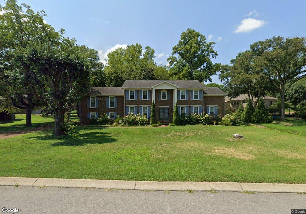
226 Baltusrol Rd Franklin, TN 37069
Estimated Value: $1,058,000 - $1,099,000
4
Beds
4
Baths
3,458
Sq Ft
$312/Sq Ft
Est. Value
About This Home
This home is located at 226 Baltusrol Rd, Franklin, TN 37069 and is currently estimated at $1,078,588, approximately $311 per square foot. 226 Baltusrol Rd is a home located in Williamson County with nearby schools including Grassland Elementary School, Grassland Middle School, and Franklin High School.
Ownership History
Date
Name
Owned For
Owner Type
Purchase Details
Closed on
Nov 18, 2022
Sold by
Investing In Ppl Llc
Bought by
Figueroa Michael
Current Estimated Value
Home Financials for this Owner
Home Financials are based on the most recent Mortgage that was taken out on this home.
Original Mortgage
$569,393
Outstanding Balance
$552,152
Interest Rate
7.08%
Mortgage Type
FHA
Estimated Equity
$526,436
Purchase Details
Closed on
May 29, 2020
Sold by
William Kubin
Bought by
Investing In Ppl Llc
Create a Home Valuation Report for This Property
The Home Valuation Report is an in-depth analysis detailing your home's value as well as a comparison with similar homes in the area
Home Values in the Area
Average Home Value in this Area
Purchase History
| Date | Buyer | Sale Price | Title Company |
|---|---|---|---|
| Figueroa Michael | $579,900 | Tennessee Title Services | |
| Investing In Ppl Llc | $535,000 | Tennessee Titleservices Llc |
Source: Public Records
Mortgage History
| Date | Status | Borrower | Loan Amount |
|---|---|---|---|
| Open | Figueroa Michael | $569,393 |
Source: Public Records
Tax History Compared to Growth
Tax History
| Year | Tax Paid | Tax Assessment Tax Assessment Total Assessment is a certain percentage of the fair market value that is determined by local assessors to be the total taxable value of land and additions on the property. | Land | Improvement |
|---|---|---|---|---|
| 2024 | $2,573 | $136,850 | $31,250 | $105,600 |
| 2023 | $2,573 | $136,850 | $31,250 | $105,600 |
| 2022 | $2,573 | $136,850 | $31,250 | $105,600 |
| 2021 | $2,573 | $136,850 | $31,250 | $105,600 |
| 2020 | $2,441 | $109,950 | $23,750 | $86,200 |
| 2019 | $2,441 | $109,950 | $23,750 | $86,200 |
| 2018 | $2,364 | $109,950 | $23,750 | $86,200 |
| 2017 | $2,364 | $109,950 | $23,750 | $86,200 |
| 2016 | $2,364 | $109,950 | $23,750 | $86,200 |
| 2015 | -- | $93,150 | $21,250 | $71,900 |
| 2014 | -- | $93,150 | $21,250 | $71,900 |
Source: Public Records
Map
Nearby Homes
- 6211 Temple Rd
- 156 N Berwick Ln
- 159 N Berwick Ln
- 162 N Berwick Ln
- 137 Timberline Dr
- 238 Saint Andrews Dr
- 412 Sandcastle Rd
- 424 Sandcastle Rd
- 230 Temple Crest Trail
- 405 Wexford Ct
- 101 Oakmont Dr
- 416 Winchester Dr
- 212 Timberline Ct
- 123 Saint Andrews Dr
- 720 Wild Timber Ct
- 808 Carsten St
- 358 Stephens Valley Blvd
- 368 Stephens Valley Blvd
- 6521 Stableford Ln
- St 828 GRAHAM Plan at Stephens Valley
- 101 Troon Ct
- 234 Baltusrol Rd
- 109 Troon Ct
- 104 N Berwick Ln
- 115 Troon Ct
- 231 Baltusrol Rd
- 227 Baltusrol Rd
- 235 Baltusrol Rd
- 110 N Berwick Ln
- 221 Baltusrol Rd
- 241 Baltusrol Rd
- 119 Troon Ct
- 212 Baltusrol Rd
- 116 N Berwick Ln
- 106 Troon Ct
- 103 N Berwick Ln
- 112 Troon Ct
- 240 Baltusrol Rd
- 217 Baltusrol Rd
- 107 N Berwick Ln