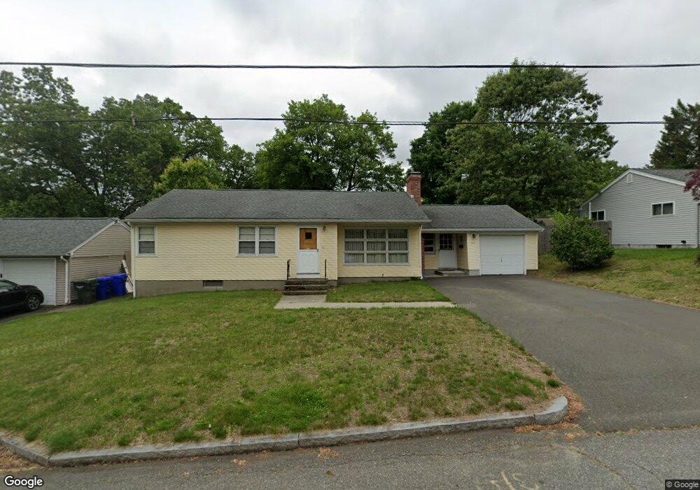
226 Carver St Springfield, MA 01108
Forest Park NeighborhoodEstimated Value: $245,000 - $294,000
3
Beds
2
Baths
1,098
Sq Ft
$253/Sq Ft
Est. Value
About This Home
This home is located at 226 Carver St, Springfield, MA 01108 and is currently estimated at $277,973, approximately $253 per square foot. 226 Carver St is a home located in Hampden County with nearby schools including Alice B. Beal Elementary School, Forest Park Middle School, and High School Of Commerce.
Ownership History
Date
Name
Owned For
Owner Type
Purchase Details
Closed on
Jul 31, 2007
Sold by
Wands Joyce G
Bought by
Stack Aaron G
Current Estimated Value
Home Financials for this Owner
Home Financials are based on the most recent Mortgage that was taken out on this home.
Original Mortgage
$119,920
Outstanding Balance
$76,392
Interest Rate
6.78%
Mortgage Type
Purchase Money Mortgage
Estimated Equity
$201,581
Create a Home Valuation Report for This Property
The Home Valuation Report is an in-depth analysis detailing your home's value as well as a comparison with similar homes in the area
Home Values in the Area
Average Home Value in this Area
Purchase History
| Date | Buyer | Sale Price | Title Company |
|---|---|---|---|
| Stack Aaron G | $149,900 | -- |
Source: Public Records
Mortgage History
| Date | Status | Borrower | Loan Amount |
|---|---|---|---|
| Open | Stack Aaron G | $119,920 | |
| Closed | Stack Aaron G | $22,485 |
Source: Public Records
Tax History Compared to Growth
Tax History
| Year | Tax Paid | Tax Assessment Tax Assessment Total Assessment is a certain percentage of the fair market value that is determined by local assessors to be the total taxable value of land and additions on the property. | Land | Improvement |
|---|---|---|---|---|
| 2025 | $3,610 | $230,200 | $47,400 | $182,800 |
| 2024 | $3,472 | $216,200 | $47,400 | $168,800 |
| 2023 | $3,594 | $210,800 | $40,100 | $170,700 |
| 2022 | $3,030 | $161,000 | $40,100 | $120,900 |
| 2021 | $3,219 | $170,300 | $36,500 | $133,800 |
| 2020 | $2,881 | $147,500 | $36,500 | $111,000 |
| 2019 | $2,812 | $142,900 | $36,500 | $106,400 |
| 2018 | $2,726 | $138,500 | $36,500 | $102,000 |
| 2017 | $2,688 | $136,700 | $36,500 | $100,200 |
| 2016 | $2,477 | $126,000 | $36,500 | $89,500 |
| 2015 | $2,461 | $125,100 | $36,500 | $88,600 |
Source: Public Records
Map
Nearby Homes
- 137 Carroll St
- Lot 30 Carver St
- 147 Belvidere St
- 25 Bremen St
- 60 Blake St
- 114 Sylvan St Unit 116
- 137-139 Fountain St
- 63 Webber St
- 35 Carlton St
- 26 Dwight Rd
- 910-912 Belmont Ave
- 914-916 Belmont Ave
- 52 Eldridge St
- 20 Taft St
- 15 Bronson Terrace
- 11-15 Groveland St
- 40 Eldridge St
- 93 Cooper St
- 877 Belmont Ave
- 855 Belmont Ave
- 234 Carver St
- 218 Carver St
- 383 Commonwealth Ave
- 389 Commonwealth Ave
- 377 Commonwealth Ave
- 221 Carver St
- 242 Carver St
- 373 Commonwealth Ave
- 401 Commonwealth Ave
- 369 Commonwealth Ave
- 237 Carver St
- 211 Carver St
- 157 Bremen St
- 78 Bremen St
- 68 Bremen St
- 131 Carroll St
- 386 Commonwealth Ave
- 380 Commonwealth Ave
- 247 Carver St
- 146 Bremen St