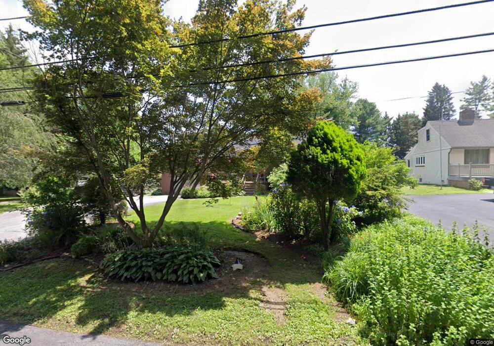
226 Marlboro Rd Kennett Square, PA 19348
East Marlborough Township NeighborhoodEstimated Value: $445,000 - $608,000
3
Beds
1
Bath
1,456
Sq Ft
$358/Sq Ft
Est. Value
About This Home
This home is located at 226 Marlboro Rd, Kennett Square, PA 19348 and is currently estimated at $520,830, approximately $357 per square foot. 226 Marlboro Rd is a home located in Chester County with nearby schools including Unionville Elementary School, Charles F. Patton Middle School, and Unionville High School.
Ownership History
Date
Name
Owned For
Owner Type
Purchase Details
Closed on
Feb 17, 1998
Sold by
Ferron Charles T and Ferron Judith A
Bought by
Ferron David and Ferron Ann
Current Estimated Value
Home Financials for this Owner
Home Financials are based on the most recent Mortgage that was taken out on this home.
Original Mortgage
$116,000
Interest Rate
6.93%
Create a Home Valuation Report for This Property
The Home Valuation Report is an in-depth analysis detailing your home's value as well as a comparison with similar homes in the area
Home Values in the Area
Average Home Value in this Area
Purchase History
| Date | Buyer | Sale Price | Title Company |
|---|---|---|---|
| Ferron David | -- | -- |
Source: Public Records
Mortgage History
| Date | Status | Borrower | Loan Amount |
|---|---|---|---|
| Closed | Ferron David | $116,000 |
Source: Public Records
Tax History Compared to Growth
Tax History
| Year | Tax Paid | Tax Assessment Tax Assessment Total Assessment is a certain percentage of the fair market value that is determined by local assessors to be the total taxable value of land and additions on the property. | Land | Improvement |
|---|---|---|---|---|
| 2025 | $935 | $138,890 | $45,600 | $93,290 |
| 2024 | $935 | $138,890 | $45,600 | $93,290 |
| 2023 | $935 | $138,890 | $45,600 | $93,290 |
| 2022 | $778 | $138,890 | $45,600 | $93,290 |
| 2021 | $935 | $138,890 | $45,600 | $93,290 |
| 2020 | $753 | $138,890 | $45,600 | $93,290 |
| 2019 | $910 | $138,890 | $45,600 | $93,290 |
| 2018 | $910 | $138,890 | $45,600 | $93,290 |
| 2017 | $910 | $138,890 | $45,600 | $93,290 |
| 2016 | $551 | $138,890 | $45,600 | $93,290 |
| 2015 | $551 | $138,890 | $45,600 | $93,290 |
| 2014 | $551 | $138,890 | $45,600 | $93,290 |
Source: Public Records
Map
Nearby Homes
- 113 Lantana Dr
- 347 Astilbe Dr
- 1776 W Doe Run Rd
- 102 Manor Dr
- 907 Unionville Wawaset Rd
- 101 Bailey Cir
- 505 Wisteria Dr
- 213 Katsura Dr
- 1053 Unionville Wawaset Rd
- 907 Mitchell Farm Ln
- 454 Larkspur Dr
- 312 Riverbirch Cir Unit 802
- 804 Waverly Rd
- 191 W Street Rd
- 2039-2035 Lenape Unionville Rd
- 765 Folly Hill Rd
- 217 Kirkbrae Rd
- 617 Unionville Rd
- 323 E Street Rd
- 1050 Glen Hall Rd
- 218 Marlboro Rd
- 236 Marlboro Rd
- 238 Marlboro Rd
- 214 Marlboro Rd
- 133 E Doe Run Rd
- 219 Marlboro Rd
- 213 Marlboro Rd
- 131 E Doe Run Rd
- 221 Marlboro Rd
- 242 Marlborough Rd
- 248 Marlboro Rd
- 212 Marlboro Rd
- 127 E Doe Run Rd
- 129 E Doe Run Rd
- 125 E Doe Run Rd
- 207 Marlboro Rd
- 244 Marlboro Rd
- 813 Newhall Rd
- 209 Marlboro Rd
- 302 Marlboro Rd