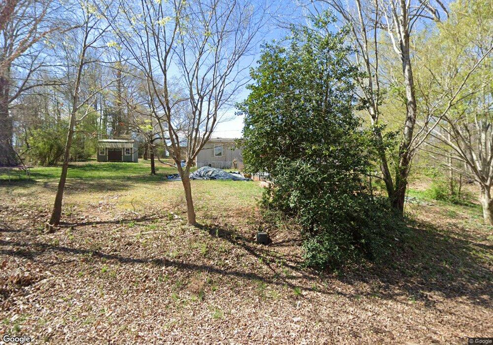
226 Mckenzie Dr Anderson, SC 29624
Estimated Value: $70,000 - $265,000
3
Beds
2
Baths
1,300
Sq Ft
$122/Sq Ft
Est. Value
About This Home
This home is located at 226 Mckenzie Dr, Anderson, SC 29624 and is currently estimated at $158,333, approximately $121 per square foot. 226 Mckenzie Dr is a home located in Anderson County with nearby schools including Crescent High School.
Ownership History
Date
Name
Owned For
Owner Type
Purchase Details
Closed on
Jul 23, 2010
Sold by
Wynn Investments Llc
Bought by
Parker Patrick and Parker Tiffany
Current Estimated Value
Purchase Details
Closed on
Feb 23, 2005
Sold by
Wells Fargo Bank Na
Bought by
Wynn Investments Llc
Home Financials for this Owner
Home Financials are based on the most recent Mortgage that was taken out on this home.
Original Mortgage
$24,000
Interest Rate
5.6%
Mortgage Type
Purchase Money Mortgage
Purchase Details
Closed on
Aug 11, 2004
Sold by
Rogers Zudie R and Wells Fargo Home Mortgage Inc
Bought by
Wells Fargo Bank Na
Purchase Details
Closed on
Apr 22, 1999
Sold by
The Cromer Co
Bought by
Rogers Zudie
Purchase Details
Closed on
Apr 21, 1999
Sold by
B & B Investments
Bought by
The Cromer Co
Create a Home Valuation Report for This Property
The Home Valuation Report is an in-depth analysis detailing your home's value as well as a comparison with similar homes in the area
Home Values in the Area
Average Home Value in this Area
Purchase History
| Date | Buyer | Sale Price | Title Company |
|---|---|---|---|
| Parker Patrick | $11,000 | -- | |
| Wynn Investments Llc | -- | -- | |
| Wells Fargo Bank Na | $19,000 | -- | |
| Rogers Zudie | $78,000 | -- | |
| The Cromer Co | $35,000 | -- |
Source: Public Records
Mortgage History
| Date | Status | Borrower | Loan Amount |
|---|---|---|---|
| Previous Owner | Wynn Investments Llc | $24,000 |
Source: Public Records
Tax History Compared to Growth
Tax History
| Year | Tax Paid | Tax Assessment Tax Assessment Total Assessment is a certain percentage of the fair market value that is determined by local assessors to be the total taxable value of land and additions on the property. | Land | Improvement |
|---|---|---|---|---|
| 2024 | $63 | $550 | $550 | $0 |
| 2023 | $62 | $550 | $550 | $0 |
| 2022 | $63 | $550 | $550 | $0 |
| 2021 | $56 | $400 | $400 | $0 |
| 2020 | $56 | $400 | $400 | $0 |
| 2019 | $56 | $400 | $400 | $0 |
| 2018 | $56 | $400 | $400 | $0 |
| 2017 | -- | $400 | $400 | $0 |
| 2016 | $56 | $400 | $400 | $0 |
| 2015 | $57 | $400 | $400 | $0 |
| 2014 | $58 | $400 | $400 | $0 |
Source: Public Records
Map
Nearby Homes
- 134 Elrod Rd
- 126 Elrod Rd
- 239 Samuel Camp Rd
- 3115 Highway 28 S
- 1111 Kay Dr
- 2821 Middleton Rd
- 120 George Edward Dr
- 122 George Edward Dr
- 114 George Edward Dr
- Lot 8 High Shoals Rd
- 4101 Abbeville Hwy
- 216 Cloverhill Dr
- 231 Cloverhill Dr
- 2803 Airline Rd
- 144 Cloverhill Dr
- 00 Clinkscales Rd
- 133 Cedar Rd
- 130 Harmony Rd
- 126 Harmony Rd