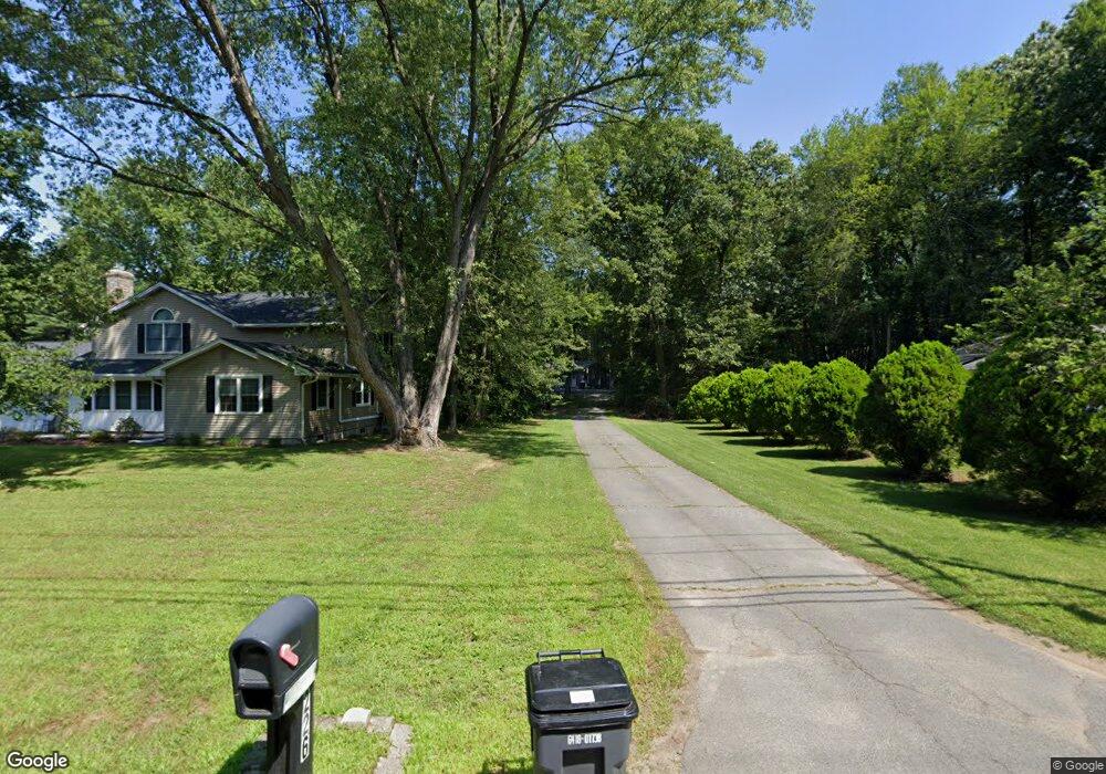
226 Plumtree Rd Sunderland, MA 01375
Estimated Value: $372,000 - $536,000
3
Beds
1
Bath
1,236
Sq Ft
$351/Sq Ft
Est. Value
About This Home
This home is located at 226 Plumtree Rd, Sunderland, MA 01375 and is currently estimated at $433,740, approximately $350 per square foot. 226 Plumtree Rd is a home located in Franklin County with nearby schools including Sunderland Elementary School and Frontier Regional School.
Ownership History
Date
Name
Owned For
Owner Type
Purchase Details
Closed on
Aug 27, 2019
Sold by
Rule Nancy A
Bought by
Roberts Jeremy L and Roberts Amy L
Current Estimated Value
Home Financials for this Owner
Home Financials are based on the most recent Mortgage that was taken out on this home.
Original Mortgage
$232,200
Outstanding Balance
$200,693
Interest Rate
3.7%
Mortgage Type
New Conventional
Estimated Equity
$233,047
Create a Home Valuation Report for This Property
The Home Valuation Report is an in-depth analysis detailing your home's value as well as a comparison with similar homes in the area
Home Values in the Area
Average Home Value in this Area
Purchase History
| Date | Buyer | Sale Price | Title Company |
|---|---|---|---|
| Roberts Jeremy L | $270,000 | -- |
Source: Public Records
Mortgage History
| Date | Status | Borrower | Loan Amount |
|---|---|---|---|
| Open | Roberts Jeremy L | $232,200 |
Source: Public Records
Tax History
| Year | Tax Paid | Tax Assessment Tax Assessment Total Assessment is a certain percentage of the fair market value that is determined by local assessors to be the total taxable value of land and additions on the property. | Land | Improvement |
|---|---|---|---|---|
| 2025 | $4,678 | $359,300 | $131,200 | $228,100 |
| 2024 | $4,721 | $359,300 | $131,200 | $228,100 |
| 2023 | $4,307 | $336,500 | $119,200 | $217,300 |
| 2022 | $4,332 | $294,700 | $102,200 | $192,500 |
| 2021 | $4,092 | $264,200 | $94,700 | $169,500 |
| 2020 | $4,076 | $264,000 | $94,700 | $169,300 |
| 2019 | $3,940 | $257,000 | $91,900 | $165,100 |
| 2018 | $3,767 | $251,100 | $88,400 | $162,700 |
| 2017 | $3,553 | $247,800 | $88,400 | $159,400 |
| 2016 | $3,535 | $241,100 | $86,500 | $154,600 |
| 2015 | $3,339 | $233,300 | $86,500 | $146,800 |
| 2014 | $3,262 | $233,300 | $86,500 | $146,800 |
Source: Public Records
Map
Nearby Homes
- 358 S Silver Ln
- 34 Comins Rd
- 45 Comins Rd
- 274 Sunderland Rd
- 10 Depot Rd
- 37 Harris St
- 180 Summer St
- 200 Long Plain Rd
- 113 Juggler Meadow Rd
- 208 Pine St Unit 53
- 79 State Rd
- 33 Bridge St
- 277 River Dr
- 74 N Hatfield Rd
- 185 Cherry Ln
- Lot A Kingman Rd
- 36 Swamp Rd
- 0 North St Unit 73407299
- 471 Flat Hills Rd
- 0 Greenfield Rd Unit 73472322
- 230 Plumtree Rd
- 224 Plumtree Rd
- 236 Plumtree Rd
- 210 Plumtree Rd
- 220 Plumtree Rd
- 242 Plumtree Rd
- 214 Plumtree Rd
- 250 Plumtree Rd
- 223 Plumtree Rd
- 246 Plumtree Rd
- 231 Plumtree Rd
- 219 Plumtree Rd
- 237 Plumtree Rd
- 208 Plumtree Rd
- 213 Plumtree Rd
- 247 Plumtree Rd
- 207 Plumtree Rd
- 254 Plumtree Rd
- 202 Plumtree Rd
- 198 Plumtree Rd
Your Personal Tour Guide
Ask me questions while you tour the home.