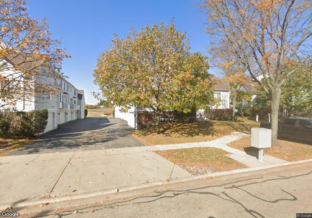
2264 Dawson Ln Unit 263 Algonquin, IL 60102
Estimated Value: $254,566 - $277,000
3
Beds
3
Baths
1,427
Sq Ft
$189/Sq Ft
Est. Value
About This Home
This home is located at 2264 Dawson Ln Unit 263, Algonquin, IL 60102 and is currently estimated at $269,392, approximately $188 per square foot. 2264 Dawson Ln Unit 263 is a home located in McHenry County with nearby schools including Westfield Community School, Lincoln Prairie Elementary School, and Harry D Jacobs High School.
Ownership History
Date
Name
Owned For
Owner Type
Purchase Details
Closed on
Dec 3, 2004
Sold by
Gehrmann David and Gehrman Jeanette
Bought by
A C G Properties Llc
Current Estimated Value
Purchase Details
Closed on
Dec 30, 1999
Sold by
Nawrocki Carol A and Kotlarz Nicholas T
Bought by
Gehrmann David and Gehrmann Jeanette
Home Financials for this Owner
Home Financials are based on the most recent Mortgage that was taken out on this home.
Original Mortgage
$95,000
Interest Rate
7.89%
Purchase Details
Closed on
May 28, 1997
Sold by
Pulte Home Corp
Bought by
Nawrocki Carol A and Kotlarz Nicholas T
Home Financials for this Owner
Home Financials are based on the most recent Mortgage that was taken out on this home.
Original Mortgage
$103,750
Interest Rate
8.27%
Mortgage Type
Balloon
Create a Home Valuation Report for This Property
The Home Valuation Report is an in-depth analysis detailing your home's value as well as a comparison with similar homes in the area
Home Values in the Area
Average Home Value in this Area
Purchase History
| Date | Buyer | Sale Price | Title Company |
|---|---|---|---|
| A C G Properties Llc | -- | -- | |
| Gehrmann David | $127,500 | Republic Title Company | |
| Nawrocki Carol A | $130,000 | First American Title |
Source: Public Records
Mortgage History
| Date | Status | Borrower | Loan Amount |
|---|---|---|---|
| Previous Owner | Gehrmann David | $95,000 | |
| Previous Owner | Nawrocki Carol A | $103,750 |
Source: Public Records
Tax History Compared to Growth
Tax History
| Year | Tax Paid | Tax Assessment Tax Assessment Total Assessment is a certain percentage of the fair market value that is determined by local assessors to be the total taxable value of land and additions on the property. | Land | Improvement |
|---|---|---|---|---|
| 2024 | $5,843 | $74,699 | $14,040 | $60,659 |
| 2023 | $5,593 | $66,809 | $12,557 | $54,252 |
| 2022 | $5,131 | $59,830 | $11,160 | $48,670 |
| 2021 | $4,946 | $55,739 | $10,397 | $45,342 |
| 2020 | $4,828 | $53,766 | $10,029 | $43,737 |
| 2019 | $4,725 | $51,461 | $9,599 | $41,862 |
| 2018 | $4,531 | $47,539 | $8,867 | $38,672 |
| 2017 | $4,460 | $44,784 | $8,353 | $36,431 |
| 2016 | $4,417 | $42,003 | $7,834 | $34,169 |
| 2013 | -- | $44,072 | $7,308 | $36,764 |
Source: Public Records
Map
Nearby Homes
- 2235 Dawson Ln
- 2248 Dawson Ln Unit 272
- 661 Majestic Dr
- 741 Regal Ln
- 1820 Crofton Dr
- 700 Fairfield Ln
- 2161 Burnham Ct
- 000 County Line Rd
- 2043 Peach Tree Ln Unit 4122
- 1 Wander Way
- 135 Arquilla Dr
- 2801 Waterfront Ave
- 2101 Peach Tree Ln Unit 4094
- 1971 Peach Tree Ln
- 601 Woods Creek Ln
- 2601 Harnish Dr
- 2611 Harnish Dr
- 1235 Fairmont Ct
- DOVER Plan at Grand Reserve - Algonquin
- CLIFTON Plan at Grand Reserve - Algonquin
- 2262 Dawson Ln Unit 264
- 2260 Dawson Ln Unit 265
- 2266 Dawson Ln
- 2258 Dawson Ln Unit 266
- 2268 Dawson Ln
- 2280 Dawson Ln Unit 256
- 2278 Dawson Ln Unit 255
- 2274 Dawson Ln Unit 253
- 2276 Dawson Ln Unit 254
- 2272 Dawson Ln Unit 332
- 2270 Dawson Ln Unit 251
- 2246 Dawson Ln Unit 271
- 2250 Dawson Ln Unit 273
- 2252 Dawson Ln Unit 274
- 2254 Dawson Ln Unit 275
- 2256 Dawson Ln Unit 276
- 2292 Dawson Ln Unit 241
- 2284 Dawson Ln Unit 245
- 2288 Dawson Ln Unit 243
- 2286 Dawson Ln Unit 244