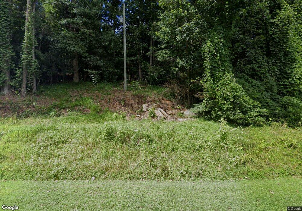
2267 Camp Rd Unit 52 Jasper, GA 30143
Estimated Value: $310,000 - $397,000
2
Beds
2
Baths
2,974
Sq Ft
$124/Sq Ft
Est. Value
About This Home
This home is located at 2267 Camp Rd Unit 52, Jasper, GA 30143 and is currently estimated at $369,457, approximately $124 per square foot. 2267 Camp Rd Unit 52 is a home located in Pickens County with nearby schools including Harmony Elementary School, Pickens County Middle School, and Pickens County High School.
Ownership History
Date
Name
Owned For
Owner Type
Purchase Details
Closed on
Nov 30, 2017
Sold by
Mills Trisha A
Bought by
Price Vicki K
Current Estimated Value
Purchase Details
Closed on
Jul 13, 2012
Sold by
Macarthur Stephen L
Bought by
Mills Trisha A
Home Financials for this Owner
Home Financials are based on the most recent Mortgage that was taken out on this home.
Original Mortgage
$120,306
Interest Rate
3.72%
Mortgage Type
New Conventional
Purchase Details
Closed on
Jun 25, 2001
Sold by
Mcarthur Steve and Mcarthur Shelia
Bought by
Macarthur Steve
Purchase Details
Closed on
Jan 1, 1980
Bought by
Mccarthur Steve and Mccarthur Shelia
Create a Home Valuation Report for This Property
The Home Valuation Report is an in-depth analysis detailing your home's value as well as a comparison with similar homes in the area
Home Values in the Area
Average Home Value in this Area
Purchase History
| Date | Buyer | Sale Price | Title Company |
|---|---|---|---|
| Price Vicki K | $172,800 | -- | |
| Mills Trisha A | $117,900 | -- | |
| Macarthur Steve | -- | -- | |
| Mccarthur Steve | $5,000 | -- |
Source: Public Records
Mortgage History
| Date | Status | Borrower | Loan Amount |
|---|---|---|---|
| Previous Owner | Mills Trisha A | $120,306 |
Source: Public Records
Tax History Compared to Growth
Tax History
| Year | Tax Paid | Tax Assessment Tax Assessment Total Assessment is a certain percentage of the fair market value that is determined by local assessors to be the total taxable value of land and additions on the property. | Land | Improvement |
|---|---|---|---|---|
| 2025 | $1,637 | $105,769 | $20,487 | $85,282 |
| 2024 | $1,788 | $95,365 | $10,083 | $85,282 |
| 2023 | $1,838 | $95,365 | $10,083 | $85,282 |
| 2022 | $1,304 | $69,135 | $10,083 | $59,052 |
| 2021 | $1,397 | $69,135 | $10,083 | $59,052 |
| 2020 | $1,439 | $69,135 | $10,083 | $59,052 |
| 2019 | $1,587 | $69,135 | $10,083 | $59,052 |
| 2018 | $1,602 | $69,135 | $10,083 | $59,052 |
| 2017 | $1,455 | $66,773 | $10,083 | $56,690 |
| 2016 | $1,093 | $50,654 | $9,695 | $40,959 |
| 2015 | $820 | $40,098 | $5,400 | $34,698 |
| 2014 | $822 | $40,098 | $5,400 | $34,698 |
| 2013 | -- | $40,098 | $5,400 | $34,698 |
Source: Public Records
Map
Nearby Homes
- 244 Town Creek Trail
- 0 Hickory Trail Unit 405391
- 0 Hickory Trail Unit 10593185
- 450 Griffith Ave
- 2728 Camp Rd
- 2860 Camp Rd
- 232 Happy Trails Way
- 2 Salem Church Rd
- 4 Salem Church Rd
- 597 S Main St
- 5566 Red Fox Ln
- 2668 Highland Trail
- 5574 Red Fox Ln
- 321 Owls Brow
- 0 Hunters Ridge Rd Unit LOT 168 10559608
- 80 Mountain Mint Dr
- 280 Vistaview Pkwy
- 0 Mulberry Cir Unit 409241
- 0 Wilderness Pkwy Unit 7690731
- 387 Windflower Dr
- 2267 Camp Rd
- 2191 Camp Rd
- 2415 Camp Rd
- 99 Sharp Mountain Dr
- 2388 Camp Rd
- 2189 Camp Rd
- 96 Sharp Mountain Dr
- 96 Sharp Mountain Dr Unit 96
- 2194 Camp Rd
- 2416 Camp Rd
- 2097 Camp Rd
- 2079 Camp Rd
- 19 Sharp Mountain Dr
- 81 Sharp Mountain Dr
- 85 Sharp Mountain Dr
- 133 Sharp Mountain Dr
- 155 Sharp Mountain Dr
- 161 Sharp Mountain Dr
- 165 Sharp Mountain Dr
- 694 White Oak Dr
