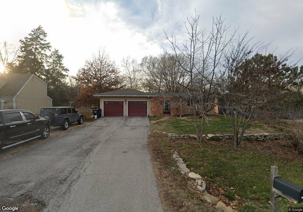
227 Iowa St Lawrence, KS 66044
Estimated Value: $283,000 - $427,000
3
Beds
3
Baths
2,584
Sq Ft
$139/Sq Ft
Est. Value
About This Home
This home is located at 227 Iowa St, Lawrence, KS 66044 and is currently estimated at $359,727, approximately $139 per square foot. 227 Iowa St is a home located in Douglas County with nearby schools including Deerfield Elementary School, West Middle School, and Lawrence Free State High School.
Ownership History
Date
Name
Owned For
Owner Type
Purchase Details
Closed on
Jun 7, 2016
Sold by
Townley Peter M and Townley Morgen C
Bought by
Martinez Michael A
Current Estimated Value
Home Financials for this Owner
Home Financials are based on the most recent Mortgage that was taken out on this home.
Original Mortgage
$205,675
Outstanding Balance
$163,908
Interest Rate
3.61%
Mortgage Type
New Conventional
Estimated Equity
$195,820
Create a Home Valuation Report for This Property
The Home Valuation Report is an in-depth analysis detailing your home's value as well as a comparison with similar homes in the area
Home Values in the Area
Average Home Value in this Area
Purchase History
| Date | Buyer | Sale Price | Title Company |
|---|---|---|---|
| Martinez Michael A | -- | Kansas Secured Title |
Source: Public Records
Mortgage History
| Date | Status | Borrower | Loan Amount |
|---|---|---|---|
| Open | Martinez Michael A | $205,675 |
Source: Public Records
Tax History Compared to Growth
Tax History
| Year | Tax Paid | Tax Assessment Tax Assessment Total Assessment is a certain percentage of the fair market value that is determined by local assessors to be the total taxable value of land and additions on the property. | Land | Improvement |
|---|---|---|---|---|
| 2025 | $4,894 | $40,871 | $7,475 | $33,396 |
| 2024 | $4,894 | $39,491 | $7,475 | $32,016 |
| 2023 | $4,789 | $37,260 | $6,900 | $30,360 |
| 2022 | $4,597 | $35,524 | $6,900 | $28,624 |
| 2021 | $4,032 | $30,199 | $5,980 | $24,219 |
| 2020 | $3,796 | $28,589 | $5,980 | $22,609 |
| 2019 | $3,551 | $26,795 | $5,060 | $21,735 |
| 2018 | $3,377 | $25,312 | $4,600 | $20,712 |
| 2017 | $3,359 | $24,898 | $4,600 | $20,298 |
| 2016 | $2,843 | $22,057 | $3,680 | $18,377 |
| 2015 | -- | $21,850 | $3,680 | $18,170 |
| 2014 | -- | $20,723 | $3,680 | $17,043 |
Source: Public Records
Map
Nearby Homes
- 515 McDonald Dr
- 322 Birch Ln
- 307 Wisconsin St
- 209 Yorkshire Dr
- 120 Minnesota St
- 121 Florida St
- 212 N Minnesota St
- 214 Lawrence Ave
- 2416 Lancaster Dr
- 1515 Pinewood Dr
- 412 Michigan St
- 255 N Michigan St Unit 22
- 1215 W 4th St
- 2412 Stowe Dr
- Lot 9 W 5th St
- 2305 Brett Dr
- 2321 Brett Dr
- 800 Madeline Ln
- 816 Crestline Dr
- 617 N Salsbury Ct