227 Mohawk Trail Gunnison, CO 81230
Estimated Value: $548,952 - $777,000
--
Bed
1
Bath
972
Sq Ft
$711/Sq Ft
Est. Value
About This Home
This home is located at 227 Mohawk Trail, Gunnison, CO 81230 and is currently estimated at $690,651, approximately $710 per square foot. 227 Mohawk Trail is a home with nearby schools including Gunnison Elementary School, Crested Butte Community School, and Gunnison Middle School.
Ownership History
Date
Name
Owned For
Owner Type
Purchase Details
Closed on
Dec 20, 2016
Sold by
Myers Dellavedova John Drew and Myers Dellavedova Paula
Bought by
John Drew Dellavedova and John Paula Myers De
Current Estimated Value
Purchase Details
Closed on
Jun 22, 2007
Sold by
Dellavedova Benjamin Robert and Dellavedova Vickie Lynn
Bought by
Myers Dellavedova John Drew and Myers Dellavedova Paula
Create a Home Valuation Report for This Property
The Home Valuation Report is an in-depth analysis detailing your home's value as well as a comparison with similar homes in the area
Home Values in the Area
Average Home Value in this Area
Purchase History
| Date | Buyer | Sale Price | Title Company |
|---|---|---|---|
| John Drew Dellavedova | -- | None Available | |
| Myers Dellavedova John Drew | $118,300 | None Available | |
| Myers Dellavedova John Drew | $118,300 | None Available | |
| Dellavedova John Drew | -- | None Available | |
| Dellavedova Benjamin Robert | -- | None Available | |
| Hutson Theresa Ann | -- | None Available |
Source: Public Records
Tax History Compared to Growth
Tax History
| Year | Tax Paid | Tax Assessment Tax Assessment Total Assessment is a certain percentage of the fair market value that is determined by local assessors to be the total taxable value of land and additions on the property. | Land | Improvement |
|---|---|---|---|---|
| 2024 | $1,537 | $33,120 | $5,730 | $27,390 |
| 2023 | $1,537 | $29,430 | $5,100 | $24,330 |
| 2022 | $1,138 | $19,020 | $6,220 | $12,800 |
| 2021 | $1,027 | $19,570 | $6,400 | $13,170 |
| 2020 | $902 | $16,240 | $5,290 | $10,950 |
| 2019 | $882 | $16,240 | $5,290 | $10,950 |
| 2018 | $890 | $15,960 | $6,320 | $9,640 |
| 2017 | $0 | $15,960 | $6,320 | $9,640 |
| 2015 | $434 | $14,570 | $6,740 | $7,830 |
| 2014 | $434 | $15,260 | $6,150 | $9,110 |
Source: Public Records
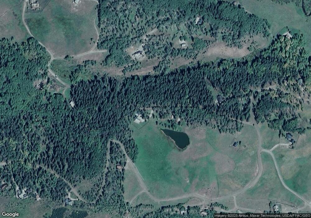
Map
Nearby Homes
- 617 Sioux Rd
- tbd Ohio Creek Rd
- 1100 Castle Dr
- 289 Star Mountain Dr
- 515 Hawk Dr
- 3750 County Road 737
- 000 Blm 3057d
- 824 County Road 826
- TBD Copley Lake Rd
- 401 9th Summit
- TBD 10th St
- 8775 County Road 730
- 980 Saddle Ridge Rd
- 3305 Wildcat Trail
- 997 Saddle Ridge Rd
- Lot 19 Hidden Mine Way
- 3 Beckwith Ave
- 28 Whiterock Ave Unit 2
- 398 Journey's End Rd
- 1610 Red Mountain Ranch Rd
- 250 Mohawk Trail
- 135 Mohawk Trail
- 0 Mohawk Trail
- 147 Mohawk Trail
- 204 Mohawk Trail
- 237 Chichasaw Trail
- 643 Sioux Trail
- 172 Mohawk Trail
- 136 Mohawk Trail
- 1598 Sioux Rd
- 159 Mohawk Trail
- 591 Sioux Rd
- 175 Chichasaw Trail
- 66 Mohawk Trail
- 160 Mohawk Trail
- 525 Sioux Rd
- 519 Sioux Rd Unit Wilderness Streams
- 117 Chickasaw Trail
- 117 Chichasaw Trail
- 1022 Sioux Rd