Estimated Value: $425,000 - $557,460
--
Bed
--
Bath
--
Sq Ft
281.59
Acres
About This Home
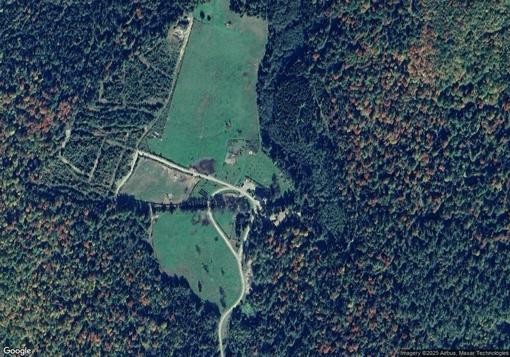
This home is located at 227 Sullivan Rd, Stark, NH 03582 and is currently estimated at $476,865. 227 Sullivan Rd is a home.
Ownership History
Date
Name
Owned For
Owner Type
Purchase Details
Closed on
Feb 29, 2016
Sold by
Wiggin Glenn P and Wiggin Anne M
Bought by
G & A Wiggin Ft
Current Estimated Value
Purchase Details
Closed on
Oct 28, 2011
Sold by
Cote Alice D
Bought by
Wiggin Glenn P and Wiggin Anne M
Home Financials for this Owner
Home Financials are based on the most recent Mortgage that was taken out on this home.
Original Mortgage
$135,000
Interest Rate
4.11%
Mortgage Type
Purchase Money Mortgage
Create a Home Valuation Report for This Property
The Home Valuation Report is an in-depth analysis detailing your home's value as well as a comparison with similar homes in the area
Home Values in the Area
Average Home Value in this Area
Purchase History
| Date | Buyer | Sale Price | Title Company |
|---|---|---|---|
| G & A Wiggin Ft | -- | -- | |
| Wiggin | -- | -- | |
| Wiggin Glenn P | $225,000 | -- | |
| Wiggin Glenn P | $225,000 | -- |
Source: Public Records
Mortgage History
| Date | Status | Borrower | Loan Amount |
|---|---|---|---|
| Previous Owner | Wiggin Glenn P | $135,000 |
Source: Public Records
Tax History Compared to Growth
Tax History
| Year | Tax Paid | Tax Assessment Tax Assessment Total Assessment is a certain percentage of the fair market value that is determined by local assessors to be the total taxable value of land and additions on the property. | Land | Improvement |
|---|---|---|---|---|
| 2024 | $4,540 | $418,080 | $176,480 | $241,600 |
| 2023 | $2,152 | $103,838 | $67,838 | $36,000 |
| 2022 | $1,761 | $107,635 | $71,635 | $36,000 |
| 2021 | $2,147 | $107,789 | $71,789 | $36,000 |
| 2020 | $1,963 | $109,057 | $73,057 | $36,000 |
| 2019 | $1,962 | $108,563 | $72,563 | $36,000 |
| 2018 | $1,760 | $97,994 | $67,694 | $30,300 |
| 2017 | $1,727 | $94,948 | $65,948 | $29,000 |
| 2016 | $1,647 | $94,542 | $65,542 | $29,000 |
| 2015 | $1,315 | $77,309 | $64,209 | $13,100 |
| 2014 | $1,351 | $77,274 | $64,174 | $13,100 |
| 2013 | $1,274 | $72,882 | $72,882 | $0 |
Source: Public Records
Map
Nearby Homes
- 25 Sullivan Rd
- 00 Mountain View Rd
- 0 Mountain View Rd
- 53 Montgomery Rd
- 00 Bell Hill Rd
- 68 Short Rd
- 128 Old Route 110
- 338 Percy Rd
- 388 Percy Rd
- 0 Mud Pond Rd Unit 5046633
- 112 Normand Rd
- 1116 W Milan Rd
- 750 Percy Rd
- 48 Spring Rd
- 238 Northside Rd
- 461 Hill Rd
- 1 Nay Pond Island
- 10 Pontook Estates Rd
- 00 Boise Cascade Rd Unit 1
- 205 Overlook Rd