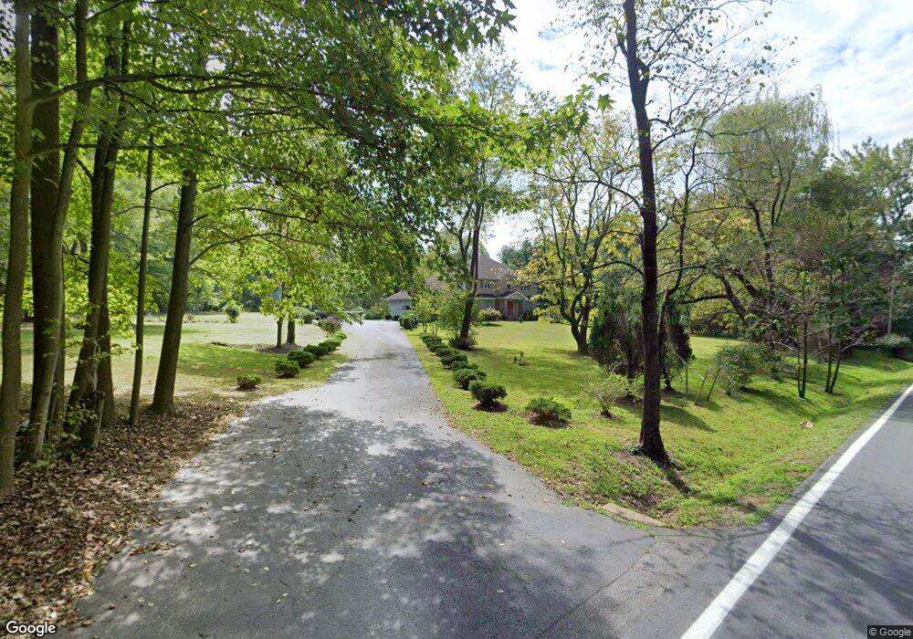
227 Welsh Tract Rd Newark, DE 19702
Estimated Value: $595,000 - $798,000
4
Beds
3
Baths
3,712
Sq Ft
$182/Sq Ft
Est. Value
About This Home
This home is located at 227 Welsh Tract Rd, Newark, DE 19702 and is currently estimated at $675,913, approximately $182 per square foot. 227 Welsh Tract Rd is a home located in New Castle County with nearby schools including West Park Place Elementary School, Gauger-Cobbs Middle School, and Glasgow High School.
Ownership History
Date
Name
Owned For
Owner Type
Purchase Details
Closed on
Aug 29, 2013
Sold by
Drysdale Neville E
Bought by
Drysdale Neville E and Lee Drysdale Dannet
Current Estimated Value
Home Financials for this Owner
Home Financials are based on the most recent Mortgage that was taken out on this home.
Original Mortgage
$209,500
Interest Rate
4.34%
Mortgage Type
New Conventional
Purchase Details
Closed on
Nov 9, 2006
Sold by
Drysdale Neville E
Bought by
Drysdale Neville E and Neville E Drysdale Living Trus
Create a Home Valuation Report for This Property
The Home Valuation Report is an in-depth analysis detailing your home's value as well as a comparison with similar homes in the area
Home Values in the Area
Average Home Value in this Area
Purchase History
| Date | Buyer | Sale Price | Title Company |
|---|---|---|---|
| Drysdale Neville E | -- | None Available | |
| Drysdale Neville E | -- | None Available |
Source: Public Records
Mortgage History
| Date | Status | Borrower | Loan Amount |
|---|---|---|---|
| Closed | Drysdale Neville E | $209,500 |
Source: Public Records
Tax History Compared to Growth
Tax History
| Year | Tax Paid | Tax Assessment Tax Assessment Total Assessment is a certain percentage of the fair market value that is determined by local assessors to be the total taxable value of land and additions on the property. | Land | Improvement |
|---|---|---|---|---|
| 2024 | $5,995 | $140,800 | $21,400 | $119,400 |
| 2023 | $5,831 | $140,800 | $21,400 | $119,400 |
| 2022 | $5,818 | $140,800 | $21,400 | $119,400 |
| 2021 | $5,695 | $140,800 | $21,400 | $119,400 |
| 2020 | $5,547 | $140,800 | $21,400 | $119,400 |
| 2019 | $4,902 | $140,800 | $21,400 | $119,400 |
| 2018 | $4,774 | $140,800 | $21,400 | $119,400 |
| 2017 | $4,604 | $140,800 | $21,400 | $119,400 |
| 2016 | $4,593 | $140,800 | $21,400 | $119,400 |
| 2015 | $4,184 | $140,800 | $21,400 | $119,400 |
| 2014 | $4,183 | $140,800 | $21,400 | $119,400 |
Source: Public Records
Map
Nearby Homes
- 37 Palo Ln
- 1581 Iron Hill Rd
- 1 Michael Townsend Ct
- 80 Welsh Tract Rd Unit 209
- 84 Welsh Tract Rd Unit 108
- 84 Welsh Tract Rd Unit 311
- 10 Knights Crossing
- 68 Welsh Tract Rd Unit 109
- 268 W Chestnut Hill Rd
- 17 Oakview Dr
- 40 Arizona State Dr
- 4 Festival Ct
- 8 Spur Ridge Ct
- 8 Gypsum Dr Unit 168
- 759 Arbour Dr
- 15 Charles Point
- 724 Brook Dr
- 23 Maple Dr Unit 16
- 1908 Waters Edge Dr Unit 129
- 420 Arbour Dr
- 241 Welsh Tract Rd
- 207 Welsh Tract Rd
- 1314 Whittaker Rd
- 1310 Whittaker Rd
- 249 Welsh Tract Rd
- 1324 Whittaker Rd
- 1304 Whittaker Rd
- 206 Welsh Tract Rd
- 1318 Whittaker Rd
- 111 Palo Ln
- 111 Peel Ln
- 113 Peel Ln
- 113 Palo Ln
- 115 Peel Ln
- 1322 Whittaker Rd
- 117 Peel Ln
- 117 Palo Ln
- 118 Palo Ln
- 118 Peel Ln
- 120 Palo Ln