22709 131st Ave N Rogers, MN 55374
Estimated Value: $427,000 - $465,000
3
Beds
1
Bath
2,047
Sq Ft
$220/Sq Ft
Est. Value
About This Home
This home is located at 22709 131st Ave N, Rogers, MN 55374 and is currently estimated at $451,206, approximately $220 per square foot. 22709 131st Ave N is a home located in Hennepin County with nearby schools including Rogers Elementary School, Rogers Middle School, and Rogers Senior High School.
Ownership History
Date
Name
Owned For
Owner Type
Purchase Details
Closed on
Apr 28, 2020
Sold by
Deutsch Matthew J and Deutsch Anna J
Bought by
Deutsch Matthew J and Deutsch Anna J
Current Estimated Value
Home Financials for this Owner
Home Financials are based on the most recent Mortgage that was taken out on this home.
Original Mortgage
$277,648
Outstanding Balance
$246,951
Interest Rate
3.5%
Mortgage Type
VA
Estimated Equity
$204,255
Purchase Details
Closed on
Aug 23, 2019
Sold by
Linket Geroge W and Linkert Josephine E
Bought by
Deutsch Matthew J and Deutsch Anna J
Home Financials for this Owner
Home Financials are based on the most recent Mortgage that was taken out on this home.
Original Mortgage
$263,200
Interest Rate
3.5%
Mortgage Type
New Conventional
Create a Home Valuation Report for This Property
The Home Valuation Report is an in-depth analysis detailing your home's value as well as a comparison with similar homes in the area
Home Values in the Area
Average Home Value in this Area
Purchase History
| Date | Buyer | Sale Price | Title Company |
|---|---|---|---|
| Deutsch Matthew J | $485 | None Listed On Document | |
| Deutsch Matthew J | $329,000 | Watermark Title Agency |
Source: Public Records
Mortgage History
| Date | Status | Borrower | Loan Amount |
|---|---|---|---|
| Open | Deutsch Matthew J | $277,648 | |
| Previous Owner | Deutsch Matthew J | $263,200 |
Source: Public Records
Tax History Compared to Growth
Tax History
| Year | Tax Paid | Tax Assessment Tax Assessment Total Assessment is a certain percentage of the fair market value that is determined by local assessors to be the total taxable value of land and additions on the property. | Land | Improvement |
|---|---|---|---|---|
| 2024 | $5,330 | $409,400 | $85,800 | $323,600 |
| 2023 | $5,287 | $419,300 | $90,200 | $329,100 |
| 2022 | $4,512 | $395,000 | $75,000 | $320,000 |
| 2021 | $4,225 | $329,000 | $65,000 | $264,000 |
| 2020 | $4,198 | $308,000 | $52,000 | $256,000 |
| 2019 | $3,841 | $292,000 | $44,000 | $248,000 |
| 2018 | $3,641 | $289,000 | $46,000 | $243,000 |
| 2017 | $3,638 | $260,000 | $46,000 | $214,000 |
| 2016 | $3,725 | $260,000 | $39,000 | $221,000 |
| 2015 | $3,875 | $259,000 | $50,000 | $209,000 |
| 2014 | -- | $233,000 | $39,000 | $194,000 |
Source: Public Records
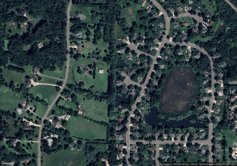
Map
Nearby Homes
- 19600 104th Place
- 13070 Brookside Ln N
- 12905 Brenly Way
- 13046 Brookside Ln N
- 12719 Farnham Ln
- 12984 Brookside Ln N
- Aspire Plan at Aster Mill - Inspiration
- Oakdale Plan at Aster Mill - Inspiration
- Newberry Plan at Aster Mill - Expressions
- Linwood Plan at Aster Mill - Expressions
- Crisfield Plan at Aster Mill - Inspiration
- Mercer Plan at Aster Mill - Expressions
- Bowman Plan at Aster Mill - Freedom
- Mitchell Plan at Aster Mill - Inspiration
- Hampton Plan at Aster Mill - Inspiration
- Waverly Plan at Aster Mill - Expressions
- Continental Plan at Aster Mill - Expressions
- Duncan Plan at Aster Mill - Freedom
- Ashton Plan at Aster Mill - Freedom
- 12646 Elm Pkwy
- 22705 131st Ave N
- 22712 131st Ave N
- 22701 131st Ave N
- 22708 131st Ave N
- 13071 Red Fox Rd
- 22704 131st Ave N
- 22729 132nd Ave N
- 22725 132nd Ave N
- 22733 132nd Ave N
- 13120 Arthur St
- 13051 Red Fox Rd
- 22723 132nd Ave N
- 13080 Red Fox Rd
- 13110 Red Fox Rd
- 13140 Red Fox Rd
- 13050 Red Fox Rd
- 13160 Red Fox Rd
- 13031 Red Fox Rd
- 22736 132nd Ave N
- 13030 Red Fox Rd