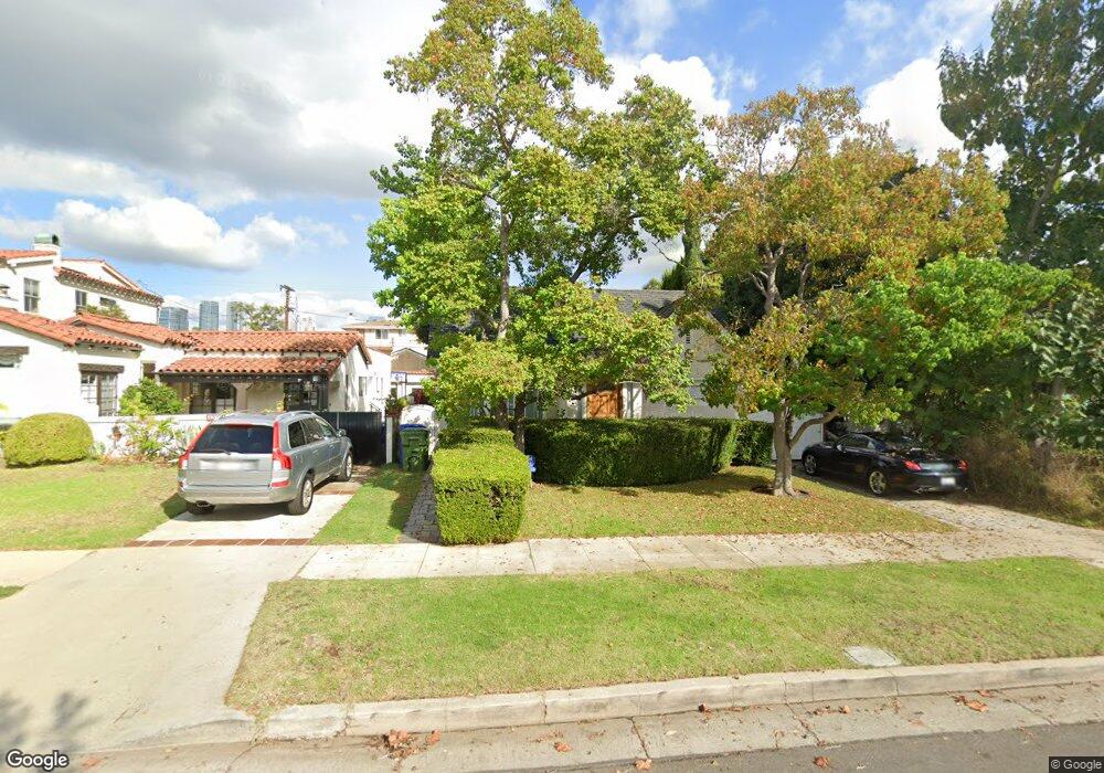
2272 Manning Ave Los Angeles, CA 90064
West Los Angeles NeighborhoodEstimated Value: $2,290,995 - $2,577,000
3
Beds
3
Baths
2,357
Sq Ft
$1,034/Sq Ft
Est. Value
About This Home
This home is located at 2272 Manning Ave, Los Angeles, CA 90064 and is currently estimated at $2,436,749, approximately $1,033 per square foot. 2272 Manning Ave is a home located in Los Angeles County with nearby schools including Daniel Webster Middle School, Westwood Charter School, and Ralph Waldo Emerson Community Charter Middle School.
Ownership History
Date
Name
Owned For
Owner Type
Purchase Details
Closed on
Sep 8, 2000
Sold by
Posivak Todd I and Posivak Linda J
Bought by
Posivak Todd
Current Estimated Value
Purchase Details
Closed on
Oct 25, 1995
Sold by
Shooshani Farzad
Bought by
Posivak Todd I and Posivak Linda J
Home Financials for this Owner
Home Financials are based on the most recent Mortgage that was taken out on this home.
Original Mortgage
$304,000
Outstanding Balance
$2,137
Interest Rate
7.62%
Estimated Equity
$2,434,612
Purchase Details
Closed on
Feb 15, 1995
Sold by
Akos Edith
Bought by
Shooshani Farzad
Home Financials for this Owner
Home Financials are based on the most recent Mortgage that was taken out on this home.
Original Mortgage
$200,000
Interest Rate
5.12%
Create a Home Valuation Report for This Property
The Home Valuation Report is an in-depth analysis detailing your home's value as well as a comparison with similar homes in the area
Home Values in the Area
Average Home Value in this Area
Purchase History
| Date | Buyer | Sale Price | Title Company |
|---|---|---|---|
| Posivak Todd | -- | -- | |
| Posivak Todd I | $380,000 | -- | |
| Shooshani Farzad | $260,000 | Equity Title |
Source: Public Records
Mortgage History
| Date | Status | Borrower | Loan Amount |
|---|---|---|---|
| Open | Posivak Todd I | $304,000 | |
| Previous Owner | Shooshani Farzad | $200,000 |
Source: Public Records
Tax History Compared to Growth
Tax History
| Year | Tax Paid | Tax Assessment Tax Assessment Total Assessment is a certain percentage of the fair market value that is determined by local assessors to be the total taxable value of land and additions on the property. | Land | Improvement |
|---|---|---|---|---|
| 2025 | $9,616 | $793,996 | $449,196 | $344,800 |
| 2024 | $9,616 | $778,429 | $440,389 | $338,040 |
| 2023 | $9,434 | $763,166 | $431,754 | $331,412 |
| 2022 | $9,002 | $748,203 | $423,289 | $324,914 |
| 2021 | $8,880 | $733,534 | $414,990 | $318,544 |
| 2019 | $8,615 | $711,779 | $402,682 | $309,097 |
| 2018 | $8,550 | $697,824 | $394,787 | $303,037 |
| 2016 | $8,163 | $670,729 | $379,458 | $291,271 |
| 2015 | $8,044 | $660,655 | $373,759 | $286,896 |
| 2014 | $8,074 | $647,715 | $366,438 | $281,277 |
Source: Public Records
Map
Nearby Homes
- 2203 Pelham Ave
- 10456 Almayo Ave
- 2030 Pelham Ave
- 2147 Malcolm Ave
- 10517 Blythe Ave
- 2157 Linnington Ave
- 10559 Cushdon Ave
- 2301 S Beverly Glen Blvd Unit 102
- 10509 Blythe Ave
- 2323 S Beverly Glen Blvd Unit 9
- 10404 Ilona Ave Unit 2
- 2175 S Beverly Glen Blvd Unit 403
- 2240 S Beverly Glen Blvd Unit 103
- 10615 Esther Ave
- 1951 Manning Ave
- 2372 S Beverly Glen Blvd
- 10393 Almayo Ave
- 2234 Midvale Ave
- 1920 Pelham Ave Unit 101
- 2327 Midvale Ave
- 2278 Manning Ave
- 2268 Manning Ave
- 2264 Manning Ave
- 2282 Manning Ave
- 2273 Parnell Ave
- 2258 Manning Ave
- 2288 Manning Ave
- 2279 Parnell Ave
- 2269 Parnell Ave
- 2281 Parnell Ave
- 2265 Parnell Ave
- 2254 Manning Ave
- 2261 Parnell Ave
- 2287 Parnell Ave
- 2273 Manning Ave
- 2269 Manning Ave
- 2279 Manning Ave
- 2265 Manning Ave
- 2283 Manning Ave
- 2250 Manning Ave