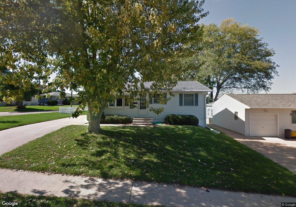
2279 Trygg Dr Dubuque, IA 52001
Estimated Value: $180,884 - $200,000
3
Beds
2
Baths
864
Sq Ft
$224/Sq Ft
Est. Value
About This Home
This home is located at 2279 Trygg Dr, Dubuque, IA 52001 and is currently estimated at $193,721, approximately $224 per square foot. 2279 Trygg Dr is a home located in Dubuque County with nearby schools including Eisenhower Elementary School, Eleanor Roosevelt Middle School, and Dubuque Senior High School.
Ownership History
Date
Name
Owned For
Owner Type
Purchase Details
Closed on
Oct 27, 2005
Sold by
Miller Lance E and Miller Cristina K
Bought by
Furst Kenneth W and Furest Marian L
Current Estimated Value
Home Financials for this Owner
Home Financials are based on the most recent Mortgage that was taken out on this home.
Original Mortgage
$95,100
Outstanding Balance
$50,065
Interest Rate
5.5%
Mortgage Type
Adjustable Rate Mortgage/ARM
Estimated Equity
$143,656
Create a Home Valuation Report for This Property
The Home Valuation Report is an in-depth analysis detailing your home's value as well as a comparison with similar homes in the area
Purchase History
| Date | Buyer | Sale Price | Title Company |
|---|---|---|---|
| Furst Kenneth W | $112,000 | None Available |
Source: Public Records
Mortgage History
| Date | Status | Borrower | Loan Amount |
|---|---|---|---|
| Open | Furst Kenneth W | $95,100 |
Source: Public Records
Tax History
| Year | Tax Paid | Tax Assessment Tax Assessment Total Assessment is a certain percentage of the fair market value that is determined by local assessors to be the total taxable value of land and additions on the property. | Land | Improvement |
|---|---|---|---|---|
| 2025 | $2,054 | $155,800 | $31,000 | $124,800 |
| 2024 | $2,054 | $142,800 | $29,500 | $113,300 |
| 2023 | $1,994 | $142,800 | $29,500 | $113,300 |
| 2022 | $1,922 | $116,170 | $26,550 | $89,620 |
| 2021 | $1,922 | $116,170 | $26,550 | $89,620 |
| 2020 | $1,876 | $105,500 | $25,080 | $80,420 |
| 2019 | $1,846 | $105,500 | $25,080 | $80,420 |
| 2018 | $1,818 | $99,330 | $23,600 | $75,730 |
| 2017 | $1,816 | $99,330 | $23,600 | $75,730 |
| 2016 | $1,778 | $94,020 | $23,600 | $70,420 |
| 2015 | $1,778 | $94,020 | $23,600 | $70,420 |
| 2014 | $1,704 | $92,640 | $23,600 | $69,040 |
Source: Public Records
Map
Nearby Homes
- 2315 Pasadena Dr
- 2330 Evergreen Dr
- 2201 Del Monaco Dr
- 2204 Graham Cir
- 3463 Kimberly Dr
- 2160 Avalon Rd
- 2665 Marywood Dr
- 2185 Broadlawn Rd
- 3470 Hillcrest Rd Unit 13
- 2035 Broadlawn Rd
- 2930 Kane #1 St
- 1930 Saint Anne Ct
- 2690 Renaissance Unit 4 Dr
- 1780 Horizon Ct
- 1804 Norland Dr
- 2071 Ellen St
- 2319 Harvest View Dr
- 1718 Richie Dr
- 2935 Van Buren St
- 2192 Fairway Dr
Your Personal Tour Guide
Ask me questions while you tour the home.