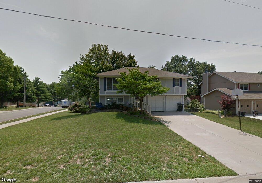
228 Debra St Lansing, KS 66043
Estimated Value: $258,638 - $273,000
4
Beds
2
Baths
1,190
Sq Ft
$223/Sq Ft
Est. Value
About This Home
This home is located at 228 Debra St, Lansing, KS 66043 and is currently estimated at $265,410, approximately $223 per square foot. 228 Debra St is a home located in Leavenworth County with nearby schools including Lansing Elementary School, Lansing Middle 6-8, and Lansing High 9-12.
Ownership History
Date
Name
Owned For
Owner Type
Purchase Details
Closed on
Jun 1, 1997
Bought by
Evans Michale S and Evans Connie E
Current Estimated Value
Home Financials for this Owner
Home Financials are based on the most recent Mortgage that was taken out on this home.
Original Mortgage
$168,220
Outstanding Balance
$121,478
Interest Rate
7.94%
Mortgage Type
FHA
Estimated Equity
$143,932
Create a Home Valuation Report for This Property
The Home Valuation Report is an in-depth analysis detailing your home's value as well as a comparison with similar homes in the area
Home Values in the Area
Average Home Value in this Area
Purchase History
| Date | Buyer | Sale Price | Title Company |
|---|---|---|---|
| Evans Michale S | $84,000 | -- |
Source: Public Records
Mortgage History
| Date | Status | Borrower | Loan Amount |
|---|---|---|---|
| Open | Evans Michale S | $168,220 | |
| Closed | Evans Michale S | $170,215 |
Source: Public Records
Tax History Compared to Growth
Tax History
| Year | Tax Paid | Tax Assessment Tax Assessment Total Assessment is a certain percentage of the fair market value that is determined by local assessors to be the total taxable value of land and additions on the property. | Land | Improvement |
|---|---|---|---|---|
| 2025 | $3,652 | $28,582 | $4,802 | $23,780 |
| 2024 | $3,406 | $27,483 | $3,802 | $23,681 |
| 2023 | $3,406 | $26,426 | $3,802 | $22,624 |
| 2022 | $3,276 | $24,024 | $3,027 | $20,997 |
| 2021 | $2,972 | $20,743 | $3,027 | $17,716 |
| 2020 | $2,682 | $18,446 | $3,527 | $14,919 |
| 2019 | $2,558 | $17,583 | $3,527 | $14,056 |
| 2018 | $2,433 | $16,747 | $3,527 | $13,220 |
| 2017 | $2,187 | $15,053 | $3,527 | $11,526 |
| 2016 | $2,166 | $14,904 | $3,130 | $11,774 |
| 2015 | $2,124 | $14,660 | $3,130 | $11,530 |
| 2014 | $2,203 | $15,513 | $3,014 | $12,499 |
Source: Public Records
Map
Nearby Homes
- 1100 N 4th St
- 1102 N 4th St
- 1102 N Main St
- 603 E Beth St
- 4 Eisenhower Rd
- 268 Holiday Dr
- 129 Brookwood St
- 129 Crestview Ct
- 415 Fairlane St
- 218 Oak Hill St
- 20958 Ida St
- 310 E Kansas Ave
- 124 S Main St
- 202 S Main St
- 218 E Kay St
- 306 E Kay St
- 542 Creekside Ct
- 728 Eisenhower Rd
- 546 Hithergreen Dr
- 521 Hillbrook Dr