Estimated Value: $1,084,000 - $1,777,000
3
Beds
2
Baths
1,920
Sq Ft
$774/Sq Ft
Est. Value
About This Home
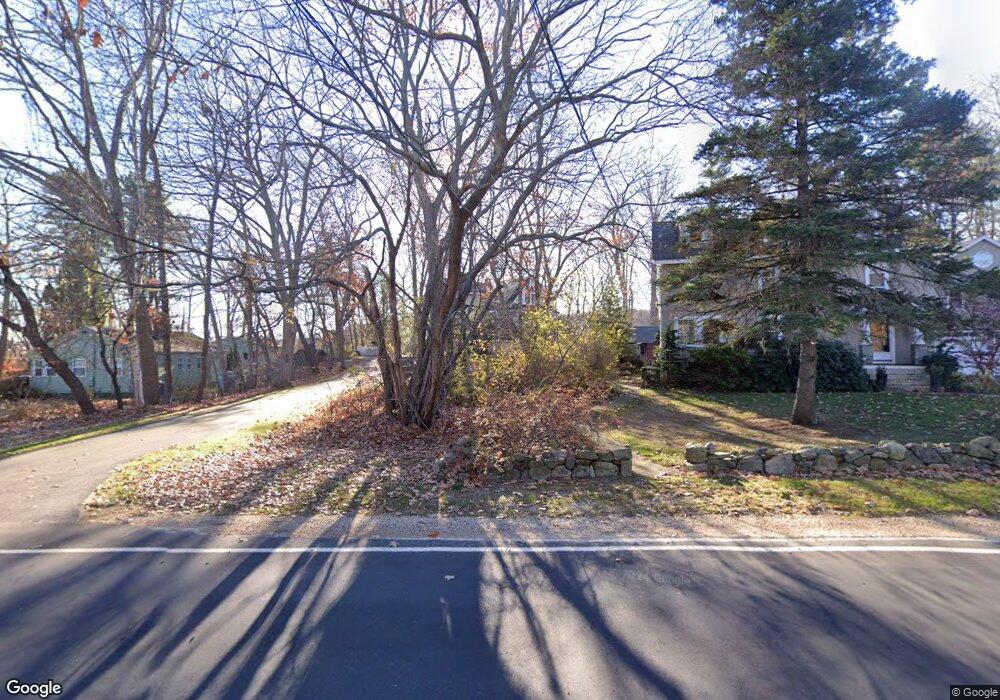
This home is located at 228 Parsons Rd, Rye, NH 03870 and is currently estimated at $1,485,560, approximately $773 per square foot. 228 Parsons Rd is a home located in Rockingham County with nearby schools including Rye Elementary School, Rye Junior High School, and St Patrick School.
Ownership History
Date
Name
Owned For
Owner Type
Purchase Details
Closed on
Feb 1, 2011
Sold by
Dunn Miriam D
Bought by
Martin Andrew and Mccarty Misty
Current Estimated Value
Home Financials for this Owner
Home Financials are based on the most recent Mortgage that was taken out on this home.
Original Mortgage
$380,113
Interest Rate
4.83%
Mortgage Type
Purchase Money Mortgage
Create a Home Valuation Report for This Property
The Home Valuation Report is an in-depth analysis detailing your home's value as well as a comparison with similar homes in the area
Home Values in the Area
Average Home Value in this Area
Purchase History
| Date | Buyer | Sale Price | Title Company |
|---|---|---|---|
| Martin Andrew | $390,000 | -- |
Source: Public Records
Mortgage History
| Date | Status | Borrower | Loan Amount |
|---|---|---|---|
| Open | Martin Andrew | $370,000 | |
| Closed | Martin Andrew | $380,113 |
Source: Public Records
Tax History Compared to Growth
Tax History
| Year | Tax Paid | Tax Assessment Tax Assessment Total Assessment is a certain percentage of the fair market value that is determined by local assessors to be the total taxable value of land and additions on the property. | Land | Improvement |
|---|---|---|---|---|
| 2024 | $8,568 | $989,400 | $496,500 | $492,900 |
| 2023 | $7,945 | $989,400 | $496,500 | $492,900 |
| 2022 | $6,906 | $989,400 | $496,500 | $492,900 |
| 2021 | $8,313 | $813,400 | $440,500 | $372,900 |
| 2020 | $8,313 | $813,400 | $440,500 | $372,900 |
| 2019 | $7,627 | $746,300 | $440,500 | $305,800 |
| 2018 | $7,531 | $744,900 | $440,500 | $304,400 |
| 2017 | $6,674 | $660,100 | $440,500 | $219,600 |
| 2016 | $4,840 | $453,200 | $262,100 | $191,100 |
| 2015 | $4,728 | $433,800 | $262,100 | $171,700 |
| 2013 | $4,757 | $433,600 | $261,700 | $171,900 |
Source: Public Records
Map
Nearby Homes
- 105 Parsons Rd
- 21 Triton Dr
- 20 Fairhill Ave
- 1193 Ocean Blvd
- 51 Wallis Rd
- 1215 Ocean Blvd Unit 2
- 1215 Ocean Blvd Unit 3
- 1215 Ocean Blvd Unit 6
- 1215 Ocean Blvd Unit 4
- 137 Clark Rd
- 2 Rands Ln
- 389 Sagamore Rd
- 267 Pioneer Rd
- 480 Sagamore Rd
- 14 Sagamore Rd Unit 3
- 4 Sagamore Rd
- 1191 - 1193 Ocean Blvd
- 891 Elwyn Rd
- 112 Wentworth Rd
- 1155 Sagamore Ave Unit 2
- 222 Parsons Rd
- 222 Parsons Rd Unit 2
- 222 Parsons Rd Unit 1
- 230 Parsons Rd
- 218 Parsons Rd
- 238 Parsons Rd
- 235 Parsons Rd
- 246 Parsons Rd
- 243 Parsons Rd
- 224 Parsons Rd Unit 2
- 224 Parsons Rd
- 45 Marsh Rd
- 199 Parsons Rd
- 191 Parsons Rd
- 200 Parsons Rd
- 181 Parsons Rd
- 180 Parsons Rd
- 264 Brackett Rd
- 1051 Ocean Blvd Unit 3