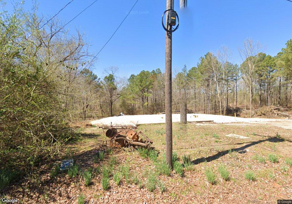
228 Wilkinstown Rd Parsons, TN 38363
Estimated Value: $43,000 - $160,000
--
Bed
1
Bath
1,106
Sq Ft
$78/Sq Ft
Est. Value
About This Home
This home is located at 228 Wilkinstown Rd, Parsons, TN 38363 and is currently estimated at $86,036, approximately $77 per square foot. 228 Wilkinstown Rd is a home located in Decatur County with nearby schools including Parsons Elementary School, Decaturville Elementary School, and Decatur County Middle School.
Ownership History
Date
Name
Owned For
Owner Type
Purchase Details
Closed on
Aug 23, 2024
Sold by
Keen James L and Keen Connie G
Bought by
Rosson Blake and Rosson Erica
Current Estimated Value
Home Financials for this Owner
Home Financials are based on the most recent Mortgage that was taken out on this home.
Original Mortgage
$44,625
Interest Rate
6.89%
Mortgage Type
Construction
Purchase Details
Closed on
Sep 26, 2018
Sold by
Hayes Diana Weatherford
Bought by
Keen James L and Keen Connie G
Purchase Details
Closed on
Mar 30, 1990
Bought by
Weatherford Horold and Weatherford Diana
Purchase Details
Closed on
Mar 29, 1990
Purchase Details
Closed on
Mar 28, 1990
Purchase Details
Closed on
Aug 19, 1985
Purchase Details
Closed on
Oct 12, 1984
Bought by
Keen Thelma
Purchase Details
Closed on
Nov 2, 1942
Create a Home Valuation Report for This Property
The Home Valuation Report is an in-depth analysis detailing your home's value as well as a comparison with similar homes in the area
Home Values in the Area
Average Home Value in this Area
Purchase History
| Date | Buyer | Sale Price | Title Company |
|---|---|---|---|
| Rosson Blake | $35,000 | None Listed On Document | |
| Keen James L | $26,000 | None Available | |
| Weatherford Horold | -- | -- | |
| -- | -- | -- | |
| -- | -- | -- | |
| -- | -- | -- | |
| Keen Thelma | -- | -- | |
| -- | -- | -- |
Source: Public Records
Mortgage History
| Date | Status | Borrower | Loan Amount |
|---|---|---|---|
| Closed | Rosson Blake | $44,625 |
Source: Public Records
Tax History Compared to Growth
Tax History
| Year | Tax Paid | Tax Assessment Tax Assessment Total Assessment is a certain percentage of the fair market value that is determined by local assessors to be the total taxable value of land and additions on the property. | Land | Improvement |
|---|---|---|---|---|
| 2025 | $283 | $12,425 | $0 | $0 |
| 2024 | $283 | $10,975 | $5,050 | $5,925 |
| 2023 | $283 | $10,975 | $5,050 | $5,925 |
| 2022 | $283 | $10,975 | $5,050 | $5,925 |
| 2021 | $370 | $10,975 | $5,050 | $5,925 |
| 2020 | $370 | $14,325 | $5,050 | $9,275 |
| 2019 | $229 | $10,175 | $5,050 | $5,125 |
| 2018 | $202 | $10,175 | $5,050 | $5,125 |
| 2017 | $202 | $10,175 | $5,050 | $5,125 |
| 2016 | $202 | $10,175 | $5,050 | $5,125 |
| 2015 | $202 | $10,175 | $5,050 | $5,125 |
| 2014 | $203 | $10,182 | $0 | $0 |
Source: Public Records
Map
Nearby Homes
- 250 Wilkinstown Rd
- 249 Wilkinstown Rd
- 225 Wilkinstown Rd
- 187 Wilkinstown Rd
- 49 Pettigrew St
- 288 Wilkinstown Rd
- 00 Wilkinstown Rd
- 013 Wilkinstown Rd
- 66 Walker Dr
- 40 Walker Dr
- 70 Townsend Cir
- 130 Wilkinstown Rd
- 19 Townsend Cir
- 30 Pettigrew St
- 73 Townsend Cir
- 88 Townsend Cir
- 1415 Highway 412 W
- 88 Wilkinstown Rd
- 109 Townsend Cir
- 438 Wilkinstown Rd