228 Worcester Rd Hollis, NH 03049
Hollis NeighborhoodEstimated Value: $753,000 - $1,280,000
4
Beds
2
Baths
4,367
Sq Ft
$246/Sq Ft
Est. Value
About This Home
This home is located at 228 Worcester Rd, Hollis, NH 03049 and is currently estimated at $1,073,000, approximately $245 per square foot. 228 Worcester Rd is a home with nearby schools including Hollis Primary School, Hollis Upper Elementary School, and Hollis-Brookline Middle School.
Ownership History
Date
Name
Owned For
Owner Type
Purchase Details
Closed on
Sep 30, 2002
Sold by
Mardones Guido M
Bought by
Lantry Thomas A
Current Estimated Value
Home Financials for this Owner
Home Financials are based on the most recent Mortgage that was taken out on this home.
Original Mortgage
$240,000
Interest Rate
6.25%
Create a Home Valuation Report for This Property
The Home Valuation Report is an in-depth analysis detailing your home's value as well as a comparison with similar homes in the area
Home Values in the Area
Average Home Value in this Area
Purchase History
| Date | Buyer | Sale Price | Title Company |
|---|---|---|---|
| Lantry Thomas A | $300,000 | -- |
Source: Public Records
Mortgage History
| Date | Status | Borrower | Loan Amount |
|---|---|---|---|
| Open | Lantry Thomas A | $160,000 | |
| Closed | Lantry Thomas A | $100,000 | |
| Closed | Lantry Thomas A | $240,000 |
Source: Public Records
Tax History Compared to Growth
Tax History
| Year | Tax Paid | Tax Assessment Tax Assessment Total Assessment is a certain percentage of the fair market value that is determined by local assessors to be the total taxable value of land and additions on the property. | Land | Improvement |
|---|---|---|---|---|
| 2024 | $15,721 | $886,700 | $251,800 | $634,900 |
| 2023 | $14,772 | $886,700 | $251,800 | $634,900 |
| 2022 | $20,013 | $886,700 | $251,800 | $634,900 |
| 2021 | $13,427 | $591,500 | $164,600 | $426,900 |
| 2020 | $13,711 | $591,500 | $164,600 | $426,900 |
| 2019 | $11,446 | $495,500 | $164,600 | $330,900 |
| 2018 | $10,737 | $495,500 | $164,600 | $330,900 |
| 2017 | $4,476 | $469,100 | $144,600 | $324,500 |
| 2016 | $4,597 | $469,100 | $144,600 | $324,500 |
| 2015 | $10,799 | $469,100 | $144,600 | $324,500 |
| 2014 | $10,850 | $469,100 | $144,600 | $324,500 |
| 2013 | $10,705 | $469,100 | $144,600 | $324,500 |
Source: Public Records
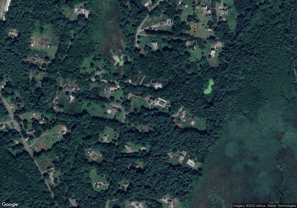
Map
Nearby Homes
- 143 Worcester Rd
- 84 Irene Dr
- 179 Brookline St
- 6 Flint Meadow Dr
- 55 Oak Hill Rd
- 47 Pepperell Rd
- 46 Oak Hill Rd
- 6 High Oaks Path
- 22 Austin Ln
- 23 Austin Ln
- 21 Cranberry St
- 2 Old Farm Ln
- 13 Oak Hill St
- 29 Southgate Rd
- 4-58 Dow Rd
- 194 Dow Rd
- 55 Park St
- 18 Maple St Unit 30
- 46 Brookline St
- 22 Hobart Hill Rd
- 224 Worcester Rd
- 232 Worcester Rd
- 230 Worcester Rd
- 231 Worcester Rd
- 39 Lawrence Ln
- 236 Worcester Rd
- 218 Worcester Rd
- 235 Worcester Rd
- 238 Worcester Rd
- 36 Lawrence Ln
- 240 Worcester Rd
- 214 Worcester Rd
- 210 Worcester Rd
- 239 Worcester Rd
- 198 Worcester Rd
- 29 Lawrence Ln
- 244 Worcester Rd
- 27 Lawrence Ln
- 245 Worcester Rd
- 204 Worcester Rd