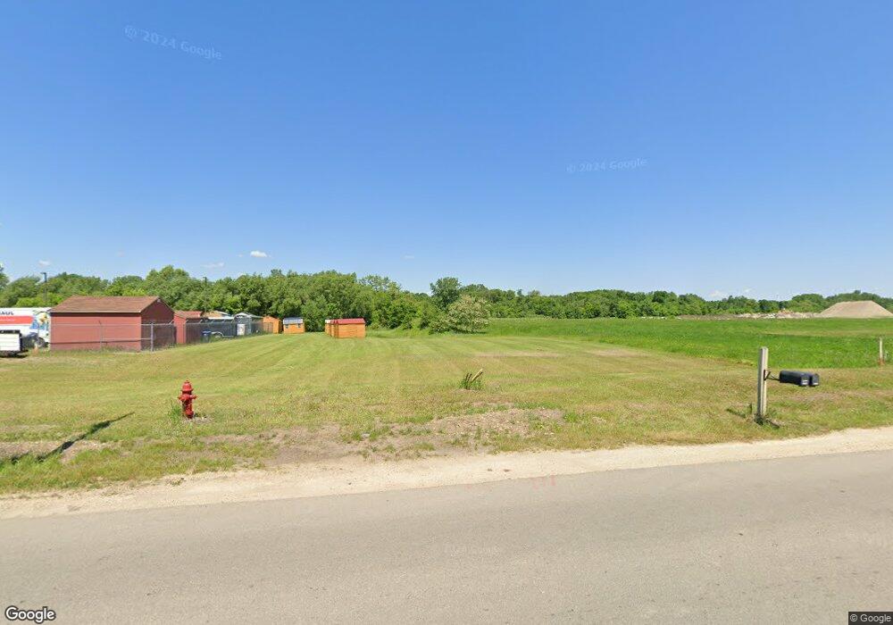
2280 Cannon Rd Northfield, MN 55057
--
Bed
--
Bath
9,300
Sq Ft
5.6
Acres
About This Home
This home is located at 2280 Cannon Rd, Northfield, MN 55057. 2280 Cannon Rd is a home located in Rice County with nearby schools including Bridgewater Elementary School, Northfield Middle School, and Northfield Senior High School.
Ownership History
Date
Name
Owned For
Owner Type
Purchase Details
Closed on
Mar 27, 2020
Sold by
Gleason Real Estate Holdings Lllp
Bought by
Self Storage Dundas Llc
Home Financials for this Owner
Home Financials are based on the most recent Mortgage that was taken out on this home.
Original Mortgage
$900,000
Outstanding Balance
$797,291
Interest Rate
3.4%
Mortgage Type
Commercial
Purchase Details
Closed on
Jan 10, 2020
Sold by
Gleason James R and Gleason Linda M
Bought by
Self Storage Dundas Llc
Create a Home Valuation Report for This Property
The Home Valuation Report is an in-depth analysis detailing your home's value as well as a comparison with similar homes in the area
Home Values in the Area
Average Home Value in this Area
Purchase History
| Date | Buyer | Sale Price | Title Company |
|---|---|---|---|
| Self Storage Dundas Llc | $200,000 | None Available | |
| Self Storage Dundas Llc | -- | None Available |
Source: Public Records
Mortgage History
| Date | Status | Borrower | Loan Amount |
|---|---|---|---|
| Open | Self Storage Dundas Llc | $900,000 |
Source: Public Records
Tax History Compared to Growth
Tax History
| Year | Tax Paid | Tax Assessment Tax Assessment Total Assessment is a certain percentage of the fair market value that is determined by local assessors to be the total taxable value of land and additions on the property. | Land | Improvement |
|---|---|---|---|---|
| 2025 | $55,704 | $1,559,800 | $286,700 | $1,273,100 |
| 2024 | $44,876 | $1,384,500 | $206,300 | $1,178,200 |
| 2023 | $25,022 | $1,384,500 | $206,300 | $1,178,200 |
| 2022 | $17,844 | $757,000 | $206,300 | $550,700 |
| 2021 | $7,554 | $526,900 | $197,600 | $329,300 |
| 2020 | $3,416 | $197,600 | $197,600 | $0 |
| 2019 | $3,386 | $89,600 | $89,600 | $0 |
| 2018 | $3,472 | $86,900 | $86,900 | $0 |
| 2017 | $3,350 | $86,900 | $86,900 | $0 |
| 2016 | $3,600 | $86,900 | $86,900 | $0 |
| 2015 | $3,614 | $88,900 | $88,900 | $0 |
| 2014 | -- | $88,900 | $88,900 | $0 |
Source: Public Records
Map
Nearby Homes
- 900 Cannon Rd
- xxx Weaver Rd
- Outlot Honeylocust Dr
- 2620 Oak Lawn Dr
- 514 Miller Ln
- 2704 Oak Lawn Dr
- 2804 Oak Lawn Dr
- 2708 Oak Lawn Dr
- 2004 Lincoln St S
- 546 Cannon Way
- 210 Mill St W
- 1418 Bluff St
- 555 Cannon Way
- 513 Cannon Way
- 1741 Roosevelt Dr
- 511 French Ln
- 2206 Grant Ct
- 1355 Bridgewater Pkwy
- 1504 Pheasantwood Trail
- 1707 Jackson Ct
- 2250 Cannon Rd
- 2130 Honeylocust Dr
- 2051 Honeylocust Dr
- 2111 Honeylocust Dr
- 2131 Honeylocust Dr
- 23XX Gleason Ct
- 2300 Gleason Ct
- 1xxx 1xxx Quie-Lane-
- 500 County Road 1
- 1900 Dundas Blvd
- 600 Weaver Ln
- 5500 110th St E
- XXXX Dundas Blvd
- 1700 Dundas Blvd
- XXX Riverview Dr
- 0 Honeylocust Dr
- 1601 Cannon Ln
- 1700 Dundas Blvd
- XXX Stafford Rd
- 10150 Dundas Blvd