2281 Moortown Dr Tustin, CA 92782
Tustin Ranch NeighborhoodEstimated Value: $1,226,000 - $1,804,000
3
Beds
2
Baths
2,067
Sq Ft
$706/Sq Ft
Est. Value
About This Home
This home is located at 2281 Moortown Dr, Tustin, CA 92782 and is currently estimated at $1,459,116, approximately $705 per square foot. 2281 Moortown Dr is a home located in Orange County with nearby schools including Ladera Elementary School, Pioneer Middle School, and Arnold O. Beckman High School.
Ownership History
Date
Name
Owned For
Owner Type
Purchase Details
Closed on
Aug 19, 1994
Sold by
Nagahama Kazue
Bought by
Nagahama Tsutomu
Current Estimated Value
Home Financials for this Owner
Home Financials are based on the most recent Mortgage that was taken out on this home.
Original Mortgage
$256,650
Interest Rate
8.61%
Create a Home Valuation Report for This Property
The Home Valuation Report is an in-depth analysis detailing your home's value as well as a comparison with similar homes in the area
Home Values in the Area
Average Home Value in this Area
Purchase History
| Date | Buyer | Sale Price | Title Company |
|---|---|---|---|
| Nagahama Tsutomu | -- | First American Title Ins Co | |
| Nagahama Tsutomu | $395,000 | First American Title Ins |
Source: Public Records
Mortgage History
| Date | Status | Borrower | Loan Amount |
|---|---|---|---|
| Closed | Nagahama Tsutomu | $256,650 |
Source: Public Records
Tax History Compared to Growth
Tax History
| Year | Tax Paid | Tax Assessment Tax Assessment Total Assessment is a certain percentage of the fair market value that is determined by local assessors to be the total taxable value of land and additions on the property. | Land | Improvement |
|---|---|---|---|---|
| 2025 | $9,875 | $955,087 | $636,945 | $318,142 |
| 2024 | $9,875 | $936,360 | $624,456 | $311,904 |
| 2023 | $9,650 | $918,000 | $612,211 | $305,789 |
| 2022 | $8,014 | $625,211 | $350,790 | $274,421 |
| 2021 | $7,832 | $612,952 | $343,911 | $269,041 |
| 2020 | $7,700 | $606,667 | $340,384 | $266,283 |
| 2019 | $7,553 | $594,772 | $333,710 | $261,062 |
| 2018 | $7,377 | $583,110 | $327,166 | $255,944 |
| 2017 | $7,126 | $571,677 | $320,751 | $250,926 |
| 2016 | $7,003 | $560,468 | $314,462 | $246,006 |
| 2015 | $6,942 | $552,050 | $309,739 | $242,311 |
| 2014 | $6,906 | $541,237 | $303,672 | $237,565 |
Source: Public Records
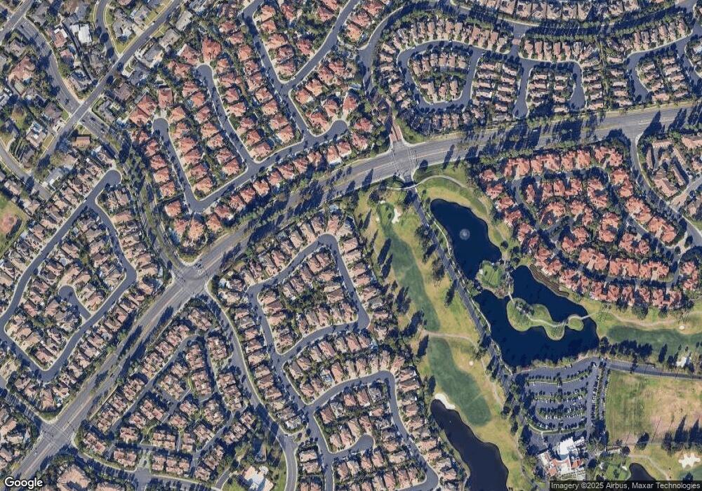
Map
Nearby Homes
- 12605 Doral Unit 49
- 2175 Palmer Place
- 2346 Tryall Unit 78
- 12646 Doral Unit 68
- 2528 Aquasanta
- 2495 Tequestra
- 12605 Prescott Ave
- 12665 Stanton Ave
- 12800 Stevens Dr
- 12095 Morrow Dr
- 12261 Browning Ave
- 234 Gallery Way Unit 163
- 259 Gallery Way Unit 12
- 2827 Player Ln
- 2226 Mccharles Dr
- 2832 Ballesteros Ln
- 2557 Tea Leaf Ln
- 12910 Mackenzie Dr
- 2960 Champion Way Unit 609
- 2960 Champion Way Unit 1208
- 2285 Moortown Dr
- 2275 Moortown Dr
- 2291 Moortown Dr
- 12420 Woodhall Way
- 12405 Woodhall Way
- 2295 Moortown Dr
- 12415 Woodhall Way
- 12430 Woodhall Way
- 12425 Woodhall Way
- 2290 Moortown Dr
- 2301 Moortown Dr
- 2296 Moortown Dr
- 12440 Woodhall Way
- 12435 Woodhall Way
- 2305 Moortown Dr
- 12445 Woodhall Way
- 12429 Butler Way
- 12450 Woodhall Way
- 12435 Butler Way
- 12445 Butler Way