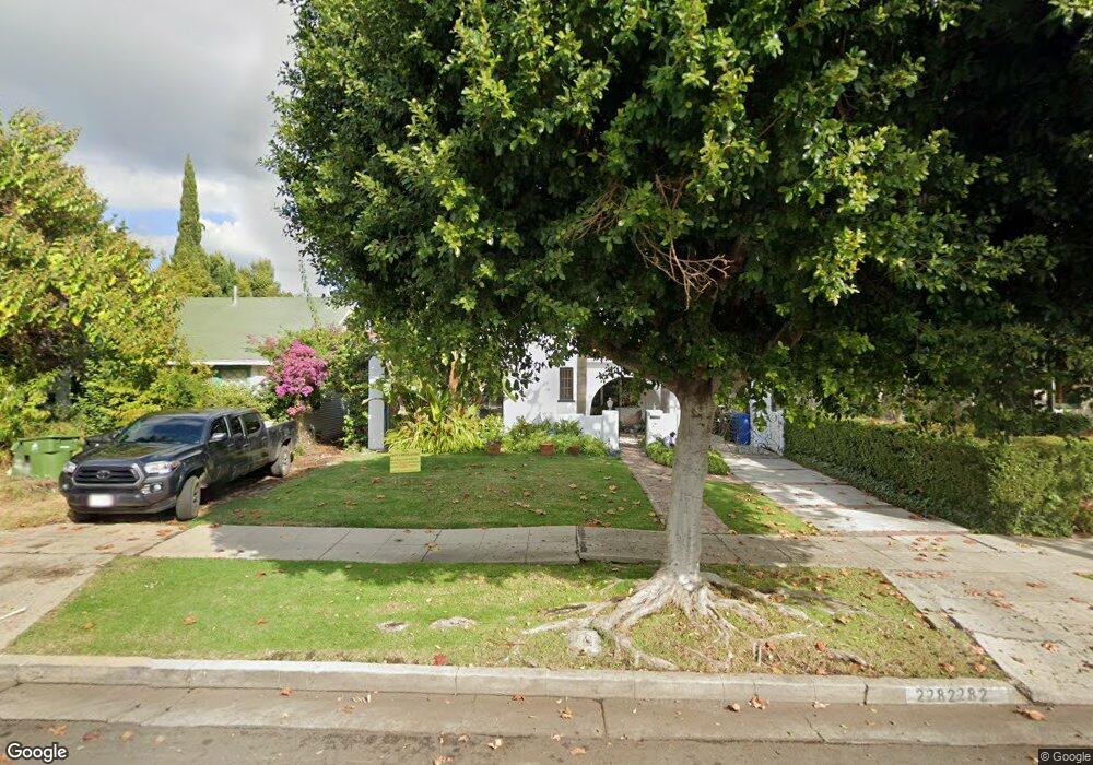
2282 Manning Ave Los Angeles, CA 90064
West Los Angeles NeighborhoodEstimated Value: $2,418,000 - $2,793,000
4
Beds
4
Baths
2,503
Sq Ft
$1,032/Sq Ft
Est. Value
About This Home
This home is located at 2282 Manning Ave, Los Angeles, CA 90064 and is currently estimated at $2,583,629, approximately $1,032 per square foot. 2282 Manning Ave is a home located in Los Angeles County with nearby schools including Daniel Webster Middle School, Westwood Charter School, and ICEF Vista Elementary & Middle Academy.
Ownership History
Date
Name
Owned For
Owner Type
Purchase Details
Closed on
Oct 25, 2002
Sold by
Ruch Sandra J
Bought by
Young Careen W
Current Estimated Value
Home Financials for this Owner
Home Financials are based on the most recent Mortgage that was taken out on this home.
Original Mortgage
$750,000
Outstanding Balance
$307,988
Interest Rate
5.88%
Estimated Equity
$2,275,641
Create a Home Valuation Report for This Property
The Home Valuation Report is an in-depth analysis detailing your home's value as well as a comparison with similar homes in the area
Home Values in the Area
Average Home Value in this Area
Purchase History
| Date | Buyer | Sale Price | Title Company |
|---|---|---|---|
| Young Careen W | $959,000 | Equity Title |
Source: Public Records
Mortgage History
| Date | Status | Borrower | Loan Amount |
|---|---|---|---|
| Open | Young Careen W | $750,000 | |
| Closed | Young Careen W | $25,000 |
Source: Public Records
Tax History
| Year | Tax Paid | Tax Assessment Tax Assessment Total Assessment is a certain percentage of the fair market value that is determined by local assessors to be the total taxable value of land and additions on the property. | Land | Improvement |
|---|---|---|---|---|
| 2025 | $16,648 | $1,388,932 | $850,598 | $538,334 |
| 2024 | $16,648 | $1,361,699 | $833,920 | $527,779 |
| 2023 | $16,328 | $1,335,000 | $817,569 | $517,431 |
| 2022 | $15,571 | $1,308,825 | $801,539 | $507,286 |
| 2021 | $15,373 | $1,283,163 | $785,823 | $497,340 |
| 2019 | $14,912 | $1,245,106 | $762,516 | $482,590 |
| 2018 | $14,812 | $1,220,693 | $747,565 | $473,128 |
| 2016 | $14,159 | $1,173,293 | $718,537 | $454,756 |
| 2015 | $13,951 | $1,155,670 | $707,744 | $447,926 |
| 2014 | $13,995 | $1,133,033 | $693,881 | $439,152 |
Source: Public Records
Map
Nearby Homes
- 10591 Ayres Ave
- 10636 Ayres Ave
- 10575 Cushdon Ave
- 2115 Holmby Ave
- 2027 Pelham Ave
- 2301 S Beverly Glen Blvd Unit 105
- 2323 S Beverly Glen Blvd Unit 9
- 10585 Esther Ave
- 2175 S Beverly Glen Blvd Unit 201
- 2240 S Beverly Glen Blvd Unit 103
- 2112 Linnington Ave
- 10417 Louisiana Ave Unit PH4
- 1951 1/2 Manning Ave
- 10396 Almayo Ave Unit 1
- 10396 Almayo Ave Unit 5
- 2234 Midvale Ave
- 10765 Esther Ave
- 2048 Linnington Ave
- 1948 Malcolm Ave Unit 305
- 1909 Pelham Ave Unit 111
- 2278 Manning Ave
- 2288 Manning Ave
- 2272 Manning Ave
- 2281 Parnell Ave
- 2268 Manning Ave
- 2279 Parnell Ave
- 2287 Parnell Ave
- 2273 Parnell Ave
- 2264 Manning Ave
- 2269 Parnell Ave
- 2283 Manning Ave
- 2279 Manning Ave
- 2289 Manning Ave
- 2306 Manning Ave
- 2301 Parnell Ave
- 2273 Manning Ave
- 2258 Manning Ave
- 2265 Parnell Ave
- 2269 Manning Ave
- 2307 Parnell Ave
Your Personal Tour Guide
Ask me questions while you tour the home.