22862 Farm Road 2080 Aurora, MO 65605
Estimated Value: $308,000 - $698,940
2
Beds
2
Baths
1,479
Sq Ft
$299/Sq Ft
Est. Value
About This Home
This home is located at 22862 Farm Road 2080, Aurora, MO 65605 and is currently estimated at $441,980, approximately $298 per square foot. 22862 Farm Road 2080 is a home with nearby schools including Pate Early Childhood Center, Robinson Elementary School, and Robinson Intermediate School.
Ownership History
Date
Name
Owned For
Owner Type
Purchase Details
Closed on
May 24, 2024
Sold by
Stockett Rick and Stockett Diana
Bought by
Thompson Zachary Max
Current Estimated Value
Home Financials for this Owner
Home Financials are based on the most recent Mortgage that was taken out on this home.
Original Mortgage
$87,331
Outstanding Balance
$50,726
Interest Rate
6.88%
Mortgage Type
New Conventional
Estimated Equity
$391,254
Purchase Details
Closed on
Mar 24, 2005
Sold by
Campbell James David and Campbell Betty
Bought by
Vincent Steven
Create a Home Valuation Report for This Property
The Home Valuation Report is an in-depth analysis detailing your home's value as well as a comparison with similar homes in the area
Home Values in the Area
Average Home Value in this Area
Purchase History
| Date | Buyer | Sale Price | Title Company |
|---|---|---|---|
| Thompson Zachary Max | -- | Meridian Title | |
| Vincent Steven | -- | None Available |
Source: Public Records
Mortgage History
| Date | Status | Borrower | Loan Amount |
|---|---|---|---|
| Open | Thompson Zachary Max | $87,331 |
Source: Public Records
Tax History Compared to Growth
Tax History
| Year | Tax Paid | Tax Assessment Tax Assessment Total Assessment is a certain percentage of the fair market value that is determined by local assessors to be the total taxable value of land and additions on the property. | Land | Improvement |
|---|---|---|---|---|
| 2025 | $2,653 | $62,188 | $3,630 | $58,558 |
| 2024 | $2,653 | $56,944 | $3,630 | $53,314 |
| 2023 | $2,651 | $56,944 | $3,630 | $53,314 |
| 2022 | $2,635 | $56,564 | $3,250 | $53,314 |
| 2021 | $2,541 | $55,804 | $2,490 | $53,314 |
| 2020 | $2,541 | $54,372 | $1,647 | $52,725 |
| 2018 | $2,499 | $54,444 | $1,719 | $52,725 |
| 2017 | $2,465 | $53,703 | $1,719 | $51,984 |
| 2016 | $2,228 | $47,965 | $1,529 | $46,436 |
| 2015 | -- | $47,965 | $1,529 | $46,436 |
| 2014 | -- | $37,999 | $1,481 | $36,518 |
| 2012 | -- | $0 | $0 | $0 |
Source: Public Records
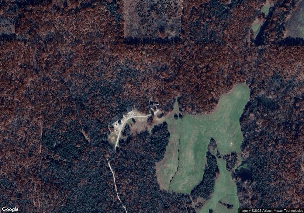
Map
Nearby Homes
- 6535 Farm Road 1245
- 7776 State Highway 39
- 23211 Farm Road 2050
- 000 Farm Road 1245
- 26252 State Highway 248
- Tbd Farm Rd 1190
- 000 State Highway 248-Tract 2
- 000 Farm Road 1190
- Tract 1 Farm Road 1200
- 27255 Farm Road 2090
- 000 Farm Road 1182
- 4220 State Highway D
- 24352 State Highway Ee
- Tract 2 Farm Road 1200
- 2949 State Highway Jj
- 000 Lawrence 2195
- 3644 State Highway Ww
- 4276 State Highway Ww
- 1830 Falcon ( 248-30 ) Dr
- 22275 State Highway 248
- 0002 Farm Road 2080
- 22447 Farm Road 2080
- 30250 State Highway 248
- 23645 Farm Road 2080
- 22274 Farm Road 2080
- 23018 Farm Road 2080
- 30268 State Highway 248
- 30348 State Highway 248
- 8292 Farm Road 1232
- 0001 Farm Road 2080
- 000 Farm Road 2080
- 0 Farm Road 2080
- 30061 State Highway 248
- 29925 State Highway 248
- 3 Box 318
- 0 S 11th Unit 10804369
- 0 S 11th Unit 10804368
- 0 S 11th Unit 10804366
- 0 S 11th Unit 10804365
- 22080 Farm Road 2080