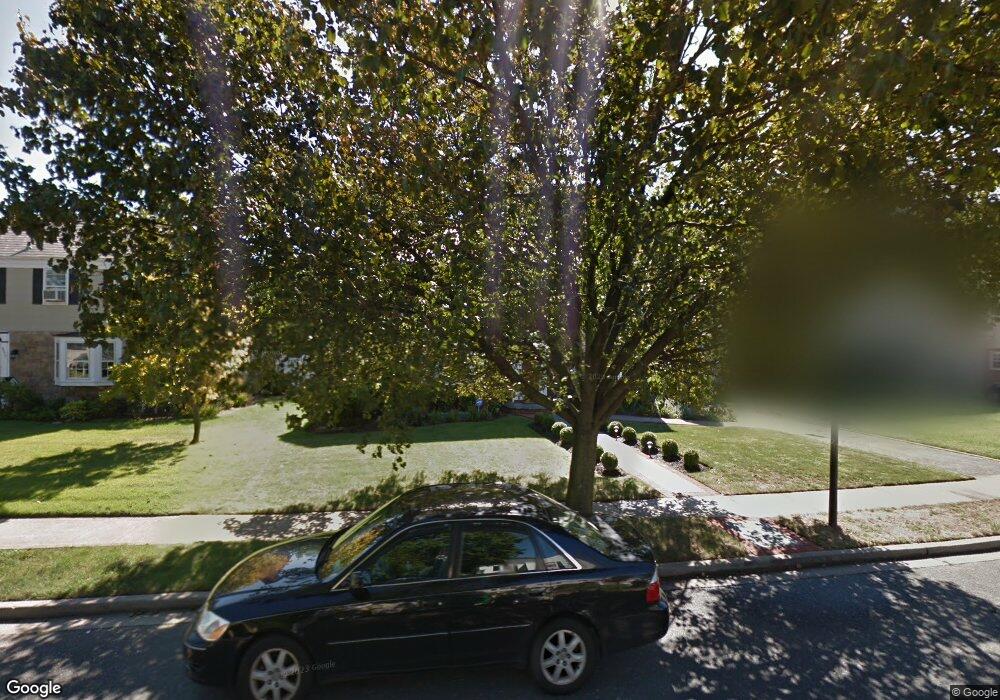
2287 Lancaster Ave Baldwin, NY 11510
Estimated Value: $839,960 - $846,000
Studio
2
Baths
1,984
Sq Ft
$425/Sq Ft
Est. Value
About This Home
This home is located at 2287 Lancaster Ave, Baldwin, NY 11510 and is currently estimated at $842,980, approximately $424 per square foot. 2287 Lancaster Ave is a home located in Nassau County with nearby schools including Baldwin Senior High School and St Agnes Cathedral School.
Ownership History
Date
Name
Owned For
Owner Type
Purchase Details
Closed on
Apr 7, 2018
Sold by
Gales Darby Tiffany M and Gales Eileen V
Bought by
Gales Darby Tiffany M and Darby Tremaine E
Current Estimated Value
Purchase Details
Closed on
Aug 5, 2010
Sold by
Bala Greg and Bala Neila
Bought by
Gales-Darby Tiffany M and Gales Eileen V
Home Financials for this Owner
Home Financials are based on the most recent Mortgage that was taken out on this home.
Original Mortgage
$368,100
Outstanding Balance
$242,111
Interest Rate
4.75%
Mortgage Type
FHA
Estimated Equity
$600,869
Create a Home Valuation Report for This Property
The Home Valuation Report is an in-depth analysis detailing your home's value as well as a comparison with similar homes in the area
Home Values in the Area
Average Home Value in this Area
Purchase History
| Date | Buyer | Sale Price | Title Company |
|---|---|---|---|
| Gales Darby Tiffany M | -- | None Available | |
| Gales-Darby Tiffany M | $400,000 | -- |
Source: Public Records
Mortgage History
| Date | Status | Borrower | Loan Amount |
|---|---|---|---|
| Open | Gales-Darby Tiffany M | $368,100 |
Source: Public Records
Tax History
| Year | Tax Paid | Tax Assessment Tax Assessment Total Assessment is a certain percentage of the fair market value that is determined by local assessors to be the total taxable value of land and additions on the property. | Land | Improvement |
|---|---|---|---|---|
| 2025 | $17,548 | $569 | $251 | $318 |
| 2024 | $4,299 | $569 | $251 | $318 |
| 2023 | $15,263 | $569 | $251 | $318 |
| 2022 | $15,263 | $569 | $186 | $383 |
| 2021 | $19,758 | $553 | $164 | $389 |
| 2020 | $13,206 | $727 | $628 | $99 |
| 2019 | $3,767 | $727 | $454 | $273 |
| 2018 | $9,658 | $1,006 | $0 | $0 |
| 2017 | $12,109 | $1,006 | $628 | $378 |
| 2016 | $16,957 | $1,006 | $628 | $378 |
| 2015 | $4,601 | $1,006 | $628 | $378 |
| 2014 | $4,601 | $1,006 | $628 | $378 |
| 2013 | $4,309 | $1,006 | $628 | $378 |
Source: Public Records
Map
Nearby Homes
- 590 Haig St Unit 101
- 2122 Walnut St
- 441 New York Ave
- 0 Edna Ct
- 2355 Pershing Blvd Unit 607
- 556 Jackson St
- 619 Ashland Ave
- 757 Bixby Dr
- 2 Meadow Ln
- 578 Seaman Ave
- 2 Florence St
- 2398 Yorktown St
- 724 Foxhurst Rd
- 1874 Rockville Dr
- 1905 Bryant Place
- 1900 Carleton Place
- 1854 Rockville Dr
- 661 Saint Lukes Place
- 15 Mckenna Ave
- 360 Raymond St
- 2289 Lancaster Ave
- 2277 Lancaster Ave
- 2280 Rockwood Ave
- 2295 Lancaster Ave
- 2284 Rockwood Ave
- 8 Lancaster Ave
- 2278 Lancaster Ave
- 2284 Lancaster Ave
- 2274 Rockwood Ave
- 2296 Rockwood Ave
- 516 Devonshire Rd
- 2299 Lancaster Ave
- 6 Lancaster Ave
- 2276 Rockwood Ave
- 2270 Rockwood Ave
- 2292 Lancaster Ave
- 506 Devonshire Rd
- 2305 Lancaster Ave
- 2302 Rockwood Ave
- 2287 Coventry Rd
Your Personal Tour Guide
Ask me questions while you tour the home.