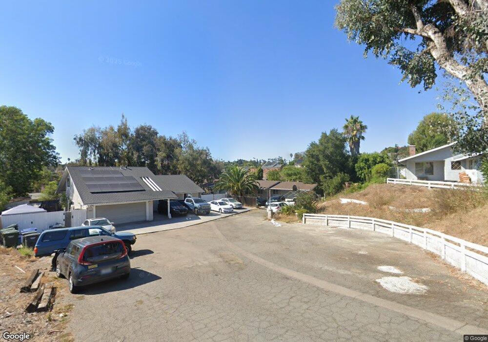
229 Via Tore Vista, CA 92083
Vista Valley NeighborhoodEstimated Value: $750,581 - $864,000
3
Beds
2
Baths
1,275
Sq Ft
$638/Sq Ft
Est. Value
About This Home
This home is located at 229 Via Tore, Vista, CA 92083 and is currently estimated at $812,895, approximately $637 per square foot. 229 Via Tore is a home located in San Diego County with nearby schools including Hannalei Elementary School, Rancho Minerva Middle School, and Rancho Buena Vista High School.
Ownership History
Date
Name
Owned For
Owner Type
Purchase Details
Closed on
Nov 18, 1993
Sold by
Western Financial Svgs Bank Fsb
Bought by
Santos Esau and Santos Trinidad
Current Estimated Value
Home Financials for this Owner
Home Financials are based on the most recent Mortgage that was taken out on this home.
Original Mortgage
$89,100
Interest Rate
5.87%
Purchase Details
Closed on
May 31, 1988
Purchase Details
Closed on
Mar 17, 1987
Purchase Details
Closed on
Oct 31, 1985
Create a Home Valuation Report for This Property
The Home Valuation Report is an in-depth analysis detailing your home's value as well as a comparison with similar homes in the area
Home Values in the Area
Average Home Value in this Area
Purchase History
| Date | Buyer | Sale Price | Title Company |
|---|---|---|---|
| Santos Esau | $99,000 | Fidelity National Title | |
| -- | $100,000 | -- | |
| -- | $102,000 | -- | |
| -- | $96,000 | -- |
Source: Public Records
Mortgage History
| Date | Status | Borrower | Loan Amount |
|---|---|---|---|
| Closed | Santos Esau | $89,100 |
Source: Public Records
Tax History Compared to Growth
Tax History
| Year | Tax Paid | Tax Assessment Tax Assessment Total Assessment is a certain percentage of the fair market value that is determined by local assessors to be the total taxable value of land and additions on the property. | Land | Improvement |
|---|---|---|---|---|
| 2025 | $2,371 | $168,229 | $84,967 | $83,262 |
| 2024 | $2,371 | $164,931 | $83,301 | $81,630 |
| 2023 | $2,327 | $161,698 | $81,668 | $80,030 |
| 2022 | $2,321 | $158,528 | $80,067 | $78,461 |
| 2021 | $2,282 | $155,421 | $78,498 | $76,923 |
| 2020 | $2,275 | $153,829 | $77,694 | $76,135 |
| 2019 | $2,250 | $150,814 | $76,171 | $74,643 |
| 2018 | $2,168 | $147,858 | $74,678 | $73,180 |
| 2017 | $2,149 | $144,960 | $73,214 | $71,746 |
| 2016 | $2,111 | $142,119 | $71,779 | $70,340 |
| 2015 | $2,104 | $139,985 | $70,701 | $69,284 |
| 2014 | $2,067 | $137,244 | $69,317 | $67,927 |
Source: Public Records
Map
Nearby Homes
- 1860 Watson Way
- 1716 Watson Way
- 1816 Pecan Ct
- 1103 Countrywood Ln
- 1109 Countrywood Ln
- 1941 Wellington Ln Unit 7
- 1701 Hilo Dr
- 1507 Phillips St
- 1520 Sunbury Ct
- 2012 Cottage Way
- 1025 Brewley Ln
- 745 S Santa fe Ave
- 1739 Montgomery Dr
- 1211 Countrywood Ln
- 1418 Phillips St
- 1234 Lupine Hills Dr
- 1065 Brewley Ln
- 1879 Maya Ct
- 911 Concord Ct
- 1145 Tower Place
- 233 Via Tore
- 1841 Watson Way
- 225 Via Tore
- 1846 Kurenda Way
- 204 Via Tore
- 1856 Kurenda Way
- 213 Via Tore
- 228 Via Tore
- 1868 Kurenda Way
- 1837 Watson Way
- 1855 Kurenda Way
- 216 Via Tore
- 1847 Kurenda Way
- 1855 Watson Way
- 1847 Watson Way
- 1876 Kurenda Way
- 1859 Kurenda Way
- 1867 Watson Way
- 1871 Watson Way
- 238 Joannie Way