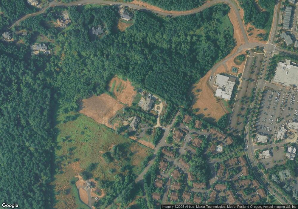
22903 Bland Cir West Linn, OR 97068
Stafford NeighborhoodEstimated Value: $3,287,495 - $4,335,000
7
Beds
7
Baths
12,230
Sq Ft
$321/Sq Ft
Est. Value
About This Home
This home is located at 22903 Bland Cir, West Linn, OR 97068 and is currently estimated at $3,928,832, approximately $321 per square foot. 22903 Bland Cir is a home located in Clackamas County with nearby schools including Trillium Creek Primary School, Rosemont Ridge Middle School, and West Linn High School.
Ownership History
Date
Name
Owned For
Owner Type
Purchase Details
Closed on
Jun 24, 2011
Sold by
Wright Steven M
Bought by
Amack Jonathan J and Amack Cheris J
Current Estimated Value
Home Financials for this Owner
Home Financials are based on the most recent Mortgage that was taken out on this home.
Original Mortgage
$1,000,000
Outstanding Balance
$657,662
Interest Rate
3.75%
Mortgage Type
Adjustable Rate Mortgage/ARM
Estimated Equity
$3,271,170
Purchase Details
Closed on
May 22, 2000
Sold by
Simpson Housing Ltd Partnership
Bought by
Wright Steven M
Create a Home Valuation Report for This Property
The Home Valuation Report is an in-depth analysis detailing your home's value as well as a comparison with similar homes in the area
Home Values in the Area
Average Home Value in this Area
Purchase History
| Date | Buyer | Sale Price | Title Company |
|---|---|---|---|
| Amack Jonathan J | $1,851,000 | Wfg Title | |
| Wright Steven M | $314,000 | Transnation Title Insurance |
Source: Public Records
Mortgage History
| Date | Status | Borrower | Loan Amount |
|---|---|---|---|
| Open | Amack Jonathan J | $1,000,000 |
Source: Public Records
Tax History Compared to Growth
Tax History
| Year | Tax Paid | Tax Assessment Tax Assessment Total Assessment is a certain percentage of the fair market value that is determined by local assessors to be the total taxable value of land and additions on the property. | Land | Improvement |
|---|---|---|---|---|
| 2025 | $43,864 | $2,788,021 | -- | -- |
| 2024 | $42,660 | $2,705,491 | -- | -- |
| 2023 | $42,660 | $2,626,691 | $0 | $0 |
| 2022 | $39,753 | $2,550,186 | $0 | $0 |
| 2021 | $35,815 | $2,475,909 | $0 | $0 |
| 2020 | $38,385 | $2,475,909 | $0 | $0 |
| 2019 | $36,466 | $2,403,796 | $0 | $0 |
| 2018 | $34,831 | $2,333,783 | $0 | $0 |
| 2017 | $32,522 | $2,265,809 | $0 | $0 |
| 2016 | $31,707 | $2,199,815 | $0 | $0 |
| 2015 | $30,561 | $2,125,431 | $0 | $0 |
| 2014 | $27,922 | $1,964,552 | $0 | $0 |
Source: Public Records
Map
Nearby Homes
- 22987 Bland Cir
- 23000 Bland Cir
- Allstone Plan at Savannah Summit
- Milton Plan at Savannah Summit
- 22998 Bland Cir
- 22994 Bland Cir
- 22990 Bland Cir
- 2134 Eleanor Rd
- 2258 Satter St
- 2285 Satter St
- 22872 Weatherhill Rd
- 2201 Satter St
- 20322 Noble Ln
- 20349 Noble Ln
- 2025 De Vries Way
- 21955 Chelan Loop
- 2037 De Vries Way
- 20111 Hoodview Ave
- 3496 Chaparrel Loop
- 3486 Chaparrel Loop
- 22911 Bland Cir
- 22120 Horizon Dr
- 22100 Horizon Dr
- 22100 Horizon Dr
- 3153 Brandywine Dr
- 3153 Brandywine Dr
- 3100 Brandywine Dr
- 0 Brandywine Dr Unit 281667
- 0 Brandywine Dr Unit 281660
- 0 Brandywine Dr Unit 281671
- 0 Brandywine Dr Unit 259426
- 3060 Brandywine Dr
- 3100 S Brandywine Dr
- 22201 Skyview Dr
- 22951 Bland Cir
- 2990 Brandywine Dr
- 22910 Weatherhill Rd
- 21460 Brandywine Ln
- 22915 Weatherhill Rd
- 22975 Bland Cir
