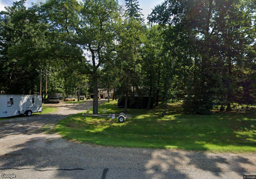
22918 State Highway 371 Nisswa, MN 56468
Estimated Value: $330,283 - $908,000
--
Bed
--
Bath
970
Sq Ft
$614/Sq Ft
Est. Value
About This Home
This home is located at 22918 State Highway 371, Nisswa, MN 56468 and is currently estimated at $595,321, approximately $613 per square foot. 22918 State Highway 371 is a home located in Crow Wing County with nearby schools including Nisswa Elementary School, Forestview Middle School, and Brainerd Senior High School.
Ownership History
Date
Name
Owned For
Owner Type
Purchase Details
Closed on
Nov 5, 2015
Bought by
Shipman Adam
Current Estimated Value
Home Financials for this Owner
Home Financials are based on the most recent Mortgage that was taken out on this home.
Original Mortgage
$60,000
Outstanding Balance
$47,321
Interest Rate
3.87%
Estimated Equity
$548,000
Purchase Details
Closed on
Feb 1, 2012
Bought by
Shipman Properties Llc
Create a Home Valuation Report for This Property
The Home Valuation Report is an in-depth analysis detailing your home's value as well as a comparison with similar homes in the area
Home Values in the Area
Average Home Value in this Area
Purchase History
| Date | Buyer | Sale Price | Title Company |
|---|---|---|---|
| Shipman Adam | $60,000 | -- | |
| Shipman Properties Llc | $57,000 | -- |
Source: Public Records
Mortgage History
| Date | Status | Borrower | Loan Amount |
|---|---|---|---|
| Open | Shipman Adam | $60,000 |
Source: Public Records
Tax History Compared to Growth
Tax History
| Year | Tax Paid | Tax Assessment Tax Assessment Total Assessment is a certain percentage of the fair market value that is determined by local assessors to be the total taxable value of land and additions on the property. | Land | Improvement |
|---|---|---|---|---|
| 2025 | $1,782 | $247,700 | $91,100 | $156,600 |
| 2024 | $1,782 | $248,700 | $104,800 | $143,900 |
| 2023 | $1,544 | $235,700 | $88,400 | $147,300 |
| 2022 | $1,460 | $207,100 | $58,000 | $149,100 |
| 2021 | $1,470 | $161,300 | $53,800 | $107,500 |
| 2020 | $1,412 | $157,200 | $56,500 | $100,700 |
| 2019 | $1,254 | $149,700 | $53,400 | $96,300 |
| 2018 | $1,116 | $134,700 | $52,300 | $82,400 |
| 2017 | $1,502 | $129,600 | $52,300 | $77,300 |
| 2016 | $1,440 | $136,800 | $77,500 | $59,300 |
| 2015 | $1,430 | $133,800 | $77,500 | $56,300 |
| 2014 | $725 | $134,700 | $77,500 | $57,200 |
Source: Public Records
Map
Nearby Homes
- 23904 Summer Haven Ln
- 5891 Nashway Rd
- 24197 White Pine Dr
- 6272 County Road 13
- 24197 Willow Cir
- 4617 Forest Hills Cir
- 24576 Wild Wings Way
- 6991 Shadow Ln
- 24228 Aspen Dr
- 8566 Waseya Woods Dr
- 22133 Windy Ridge Rd
- 24601 Perrin Point
- 4351 Cinosam Rd
- L5 B2 Oak Ridge Ct
- TBD Roy Lake Dr
- 20535 Ward Ave
- 4334 Roy Lake Dr
- L3 B1 Pine Haven Place
- L11 B1 Pine Ridge Ct
- L6 B2 Oak Ridge Ct
- 22918 State Highway 371
- 22918 State Highway 371
- 22918 State Highway 371
- 22952 State Highway 371
- 22952 State Highway 371
- 22952 State Highway 371
- 22858 State Highway 371
- 22990 State Highway 371
- 4672 Minnesota 371
- 23042 State Highway 371
- 23084 Minnesota 371
- 22739 Hole In the Day Dr
- Tract E State Hwy 371
- 22731 Hole In the Day Dr
- 22811 Old Government Trail
- 22765 Hole In the Day Dr
- 22833 Old Government Trail
- 22849 Old Government Trail
- 22857 Old Government Trail
- 22659 Hole In the Day Dr