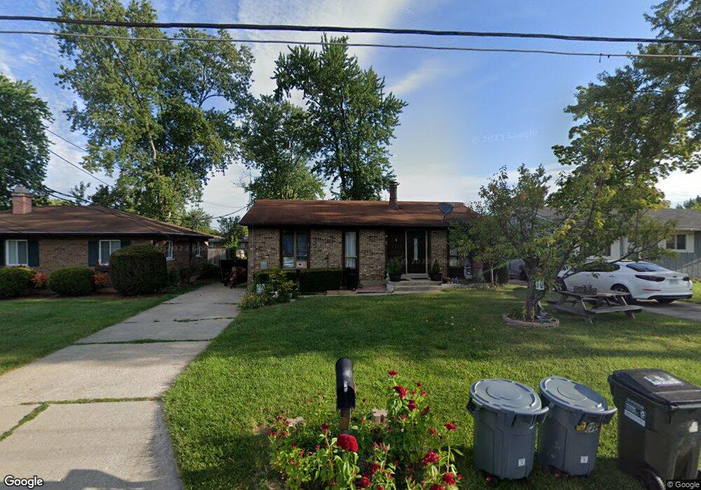
2296 Grant Ave Cincinnati, OH 45231
Mount Healthy Heights NeighborhoodEstimated Value: $155,000 - $179,000
3
Beds
1
Bath
972
Sq Ft
$170/Sq Ft
Est. Value
About This Home
This home is located at 2296 Grant Ave, Cincinnati, OH 45231 and is currently estimated at $165,113, approximately $169 per square foot. 2296 Grant Ave is a home located in Hamilton County with nearby schools including Pleasant Run Elementary School, Taylor Elementary School, and Pleasant Run Middle School.
Ownership History
Date
Name
Owned For
Owner Type
Purchase Details
Closed on
Mar 30, 2001
Sold by
Lawrence Kathryn L and Lawrence Kathryn L
Bought by
Rodriguez Miguel and Rodriguez Silvia
Current Estimated Value
Home Financials for this Owner
Home Financials are based on the most recent Mortgage that was taken out on this home.
Original Mortgage
$64,490
Interest Rate
7.02%
Mortgage Type
FHA
Create a Home Valuation Report for This Property
The Home Valuation Report is an in-depth analysis detailing your home's value as well as a comparison with similar homes in the area
Home Values in the Area
Average Home Value in this Area
Purchase History
| Date | Buyer | Sale Price | Title Company |
|---|---|---|---|
| Rodriguez Miguel | $65,000 | Title Resolutions |
Source: Public Records
Mortgage History
| Date | Status | Borrower | Loan Amount |
|---|---|---|---|
| Closed | Rodriguez Miguel | $64,490 |
Source: Public Records
Tax History
| Year | Tax Paid | Tax Assessment Tax Assessment Total Assessment is a certain percentage of the fair market value that is determined by local assessors to be the total taxable value of land and additions on the property. | Land | Improvement |
|---|---|---|---|---|
| 2025 | $2,364 | $40,583 | $3,896 | $36,687 |
| 2024 | $2,347 | $40,583 | $3,896 | $36,687 |
| 2023 | $2,227 | $40,583 | $3,896 | $36,687 |
| 2022 | $1,556 | $20,374 | $3,427 | $16,947 |
| 2021 | $1,399 | $18,880 | $3,427 | $15,453 |
| 2020 | $1,420 | $18,880 | $3,427 | $15,453 |
| 2019 | $1,381 | $17,164 | $3,115 | $14,049 |
| 2018 | $1,389 | $17,164 | $3,115 | $14,049 |
| 2017 | $1,318 | $17,164 | $3,115 | $14,049 |
| 2016 | $1,378 | $17,696 | $3,619 | $14,077 |
| 2015 | $1,388 | $17,696 | $3,619 | $14,077 |
| 2014 | $1,382 | $17,696 | $3,619 | $14,077 |
| 2013 | $1,628 | $21,322 | $4,361 | $16,961 |
Source: Public Records
Map
Nearby Homes
- 2342 Washington Ave
- 10877 Birchridge Dr
- 2508 Wilson Ave
- 10897 Sprucehill Dr
- 2071 Roosevelt Ave
- 2659 Roosevelt Ave
- 1958 Bluehill Dr
- 10918 Newmarket Dr
- 2776 Klondike Ct
- 1931 Lotushill Dr
- 2845 Wilson Ave
- 10908 Tangleberry Ct
- 10945 Penarth Dr
- 1858 Aspenhill Dr
- 1876 Roosevelt Ave
- 1854 Windmill Way
- 2617 Chesterhill Dr
- 2936 Butterwick Dr
- 2000 Struble Rd
- 10372 Pippin Ln
- 2290 Grant Ave
- 2308 Grant Ave
- 2295 Wilson Ave
- 2305 Wilson Ave
- 2312 Grant Ave
- 2315 Wilson Ave
- 2299 Grant Ave
- 2309 Grant Ave
- 2275 Wilson Ave
- 2281 Grant Ave
- 2313 Grant Ave
- 2323 Wilson Ave
- 2273 Grant Ave
- 2268 Grant Ave
- 2329 Wilson Ave
- 2265 Grant Ave
- 2384 Grant Ave
- 2294 Roosevelt Ave
- 2331 Grant Ave
- 2310 Wilson Ave
Your Personal Tour Guide
Ask me questions while you tour the home.