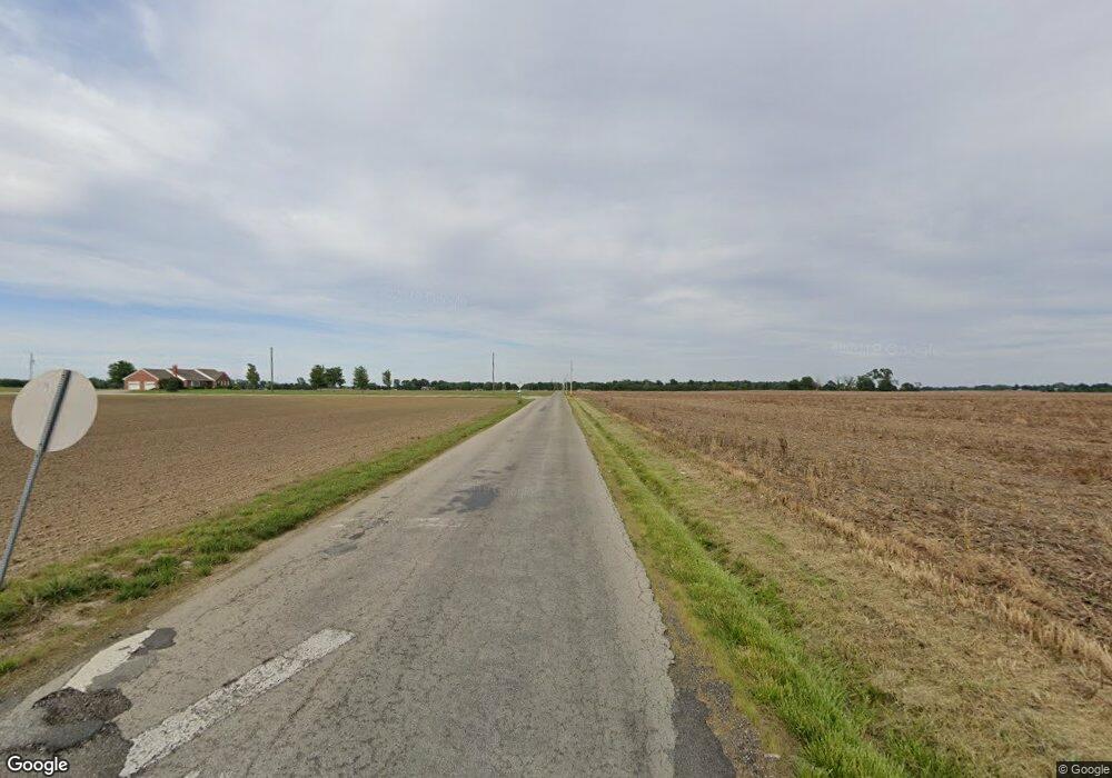
2298 E 400 N Whiteland, IN 46184
Estimated Value: $270,000 - $289,712
3
Beds
2
Baths
1,524
Sq Ft
$183/Sq Ft
Est. Value
About This Home
This home is located at 2298 E 400 N, Whiteland, IN 46184 and is currently estimated at $278,428, approximately $182 per square foot. 2298 E 400 N is a home located in Johnson County with nearby schools including Whiteland Elementary School, Clark-Pleasant Middle School, and Whiteland Community High School.
Ownership History
Date
Name
Owned For
Owner Type
Purchase Details
Closed on
May 2, 2015
Sold by
Brandt Dean and Brandt Bonnie K
Bought by
Jennings Joanne M
Current Estimated Value
Home Financials for this Owner
Home Financials are based on the most recent Mortgage that was taken out on this home.
Original Mortgage
$139,082
Outstanding Balance
$109,064
Interest Rate
4.5%
Mortgage Type
FHA
Estimated Equity
$169,364
Purchase Details
Closed on
Apr 30, 2014
Sold by
Worrell Heather
Bought by
Brandt Dean and Brandt Bonnie K
Home Financials for this Owner
Home Financials are based on the most recent Mortgage that was taken out on this home.
Original Mortgage
$120,280
Interest Rate
4.75%
Mortgage Type
FHA
Purchase Details
Closed on
Apr 21, 2006
Sold by
Knable Brad
Bought by
Worrell Heather
Create a Home Valuation Report for This Property
The Home Valuation Report is an in-depth analysis detailing your home's value as well as a comparison with similar homes in the area
Home Values in the Area
Average Home Value in this Area
Purchase History
| Date | Buyer | Sale Price | Title Company |
|---|---|---|---|
| Jennings Joanne M | -- | None Available | |
| Brandt Dean | -- | None Available | |
| Worrell Heather | -- | Chicago Title |
Source: Public Records
Mortgage History
| Date | Status | Borrower | Loan Amount |
|---|---|---|---|
| Open | Jennings Joanne M | $139,082 | |
| Previous Owner | Brandt Dean | $120,280 |
Source: Public Records
Tax History
| Year | Tax Paid | Tax Assessment Tax Assessment Total Assessment is a certain percentage of the fair market value that is determined by local assessors to be the total taxable value of land and additions on the property. | Land | Improvement |
|---|---|---|---|---|
| 2025 | $1,439 | $225,600 | $27,700 | $197,900 |
| 2024 | $1,439 | $179,800 | $28,100 | $151,700 |
| 2023 | $1,456 | $174,100 | $28,100 | $146,000 |
| 2022 | $1,315 | $150,600 | $28,100 | $122,500 |
| 2021 | $1,091 | $130,200 | $28,100 | $102,100 |
| 2020 | $1,086 | $127,700 | $28,100 | $99,600 |
| 2019 | $1,072 | $125,800 | $28,100 | $97,700 |
| 2018 | $1,119 | $125,800 | $36,800 | $89,000 |
| 2017 | $1,089 | $124,300 | $36,800 | $87,500 |
| 2016 | $1,161 | $124,300 | $36,800 | $87,500 |
| 2014 | -- | $116,100 | $30,100 | $86,000 |
| 2013 | -- | $123,000 | $30,200 | $92,800 |
Source: Public Records
Map
Nearby Homes
- 2579 E 400 N
- 4551 N 225 E
- 261 Dyson Dr
- 870 Blaine Dr
- 150 Thorpe Dr
- 459 Cardinal Dr
- 221 Ames Dr
- 201 Ames Dr
- 170 Ames Dr
- 181 Ames Dr
- 121 Ames Dr
- 111 Ames Dr
- Henley Plan at Saddlebrook Farms
- 841 E Pearl St
- Fairfax Plan at Saddlebrook Farms - North
- Henley Plan at Saddlebrook Farms - North
- Freeport Plan at Saddlebrook Farms - North
- Chatham Plan at Saddlebrook Farms - North
- Dayton Plan at Saddlebrook Farms
- Harmony Plan at Saddlebrook Farms - North
- 2298 County Road 400 N
- 2326 E 400 N
- 00000 Paul Hand Blvd
- 0000 Paul Hand Blvd
- 1600 W Paul Hand Blvd
- 2364 E 400 N
- 2367 E 400 N
- 3957 N Graham Rd
- 4073 N Graham Rd
- 2392 E 400 N
- 4097 N Graham Rd
- 3921 N Graham Rd
- 4119 N Graham Rd
- 2471 E 400 N
- 2436 E 400 N
- 3857 N Graham Rd
- 4163 N Graham Rd
- 4141 N Graham Rd
- 2492 Paul Hand Blvd
- 2492 E 400 N
