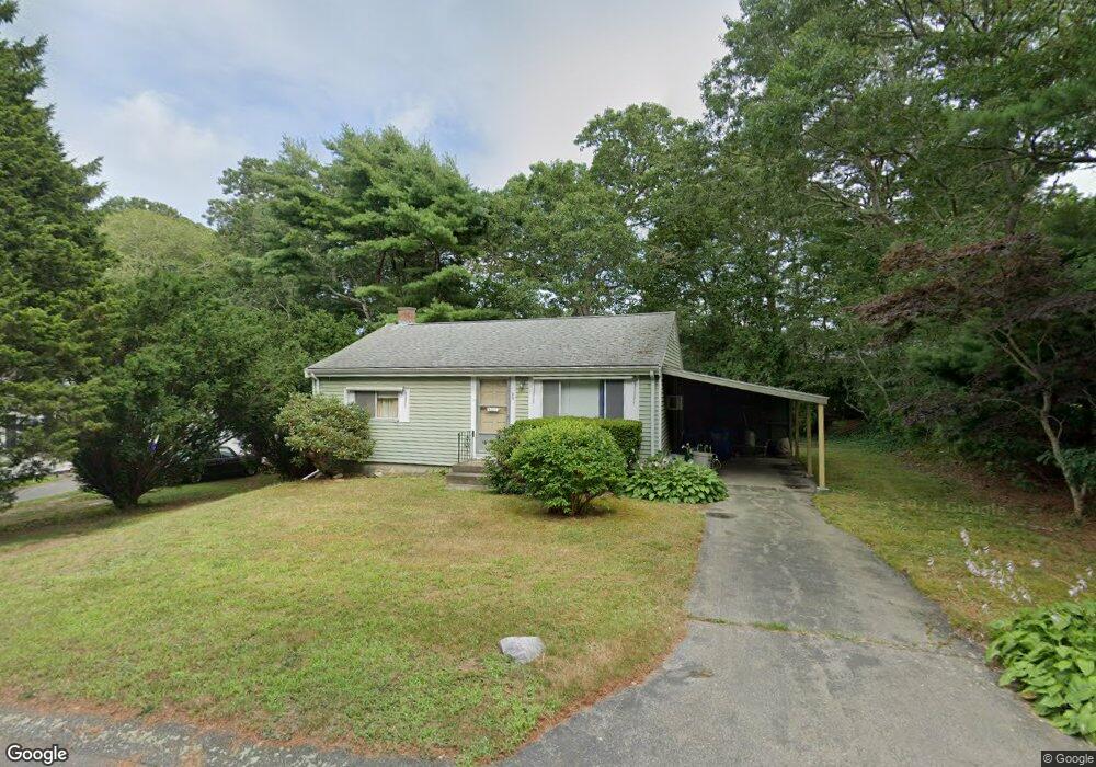
23 Albert Rd Pocasset, MA 02559
Pocasset NeighborhoodEstimated Value: $423,331 - $530,000
2
Beds
1
Bath
768
Sq Ft
$628/Sq Ft
Est. Value
About This Home
This home is located at 23 Albert Rd, Pocasset, MA 02559 and is currently estimated at $482,333, approximately $628 per square foot. 23 Albert Rd is a home located in Barnstable County with nearby schools including Bourne High School, Cadence Academy Preschool - Bourne, and St Margaret Regional School.
Create a Home Valuation Report for This Property
The Home Valuation Report is an in-depth analysis detailing your home's value as well as a comparison with similar homes in the area
Home Values in the Area
Average Home Value in this Area
Tax History
| Year | Tax Paid | Tax Assessment Tax Assessment Total Assessment is a certain percentage of the fair market value that is determined by local assessors to be the total taxable value of land and additions on the property. | Land | Improvement |
|---|---|---|---|---|
| 2025 | $2,741 | $351,000 | $191,900 | $159,100 |
| 2024 | $2,814 | $350,900 | $199,400 | $151,500 |
| 2023 | $2,775 | $315,000 | $176,500 | $138,500 |
| 2022 | $2,555 | $253,200 | $143,200 | $110,000 |
| 2021 | $2,481 | $230,400 | $130,300 | $100,100 |
| 2020 | $2,405 | $223,900 | $129,100 | $94,800 |
| 2019 | $2,297 | $218,600 | $129,100 | $89,500 |
| 2018 | $2,218 | $210,400 | $128,500 | $81,900 |
| 2017 | $2,070 | $201,000 | $127,300 | $73,700 |
| 2016 | $1,946 | $191,500 | $127,300 | $64,200 |
| 2015 | $1,539 | $152,800 | $88,600 | $64,200 |
Source: Public Records
Map
Nearby Homes
- 7 4th Ave
- 3 4th Ave
- 3 1st St
- 709 County Rd
- 16 Michael Rd
- 254 Barlows Landing Rd
- 48 Red Brook Harbor Rd
- 1234 Route 28a
- 14 Navajo Rd
- 1234 Route 28a
- 20 Colony Ave
- 566 Shore Rd
- 4 Harbor Hill Dr
- 15 Oak Ave
- 16 Amberwood Ct
- 31 Baxendale Rd
- 12 Turnberry Rd Unit 12
- 75 Winsor Rd
- 203 County Rd
- 4 Hollyhock Knoll Ct Unit 4
Your Personal Tour Guide
Ask me questions while you tour the home.