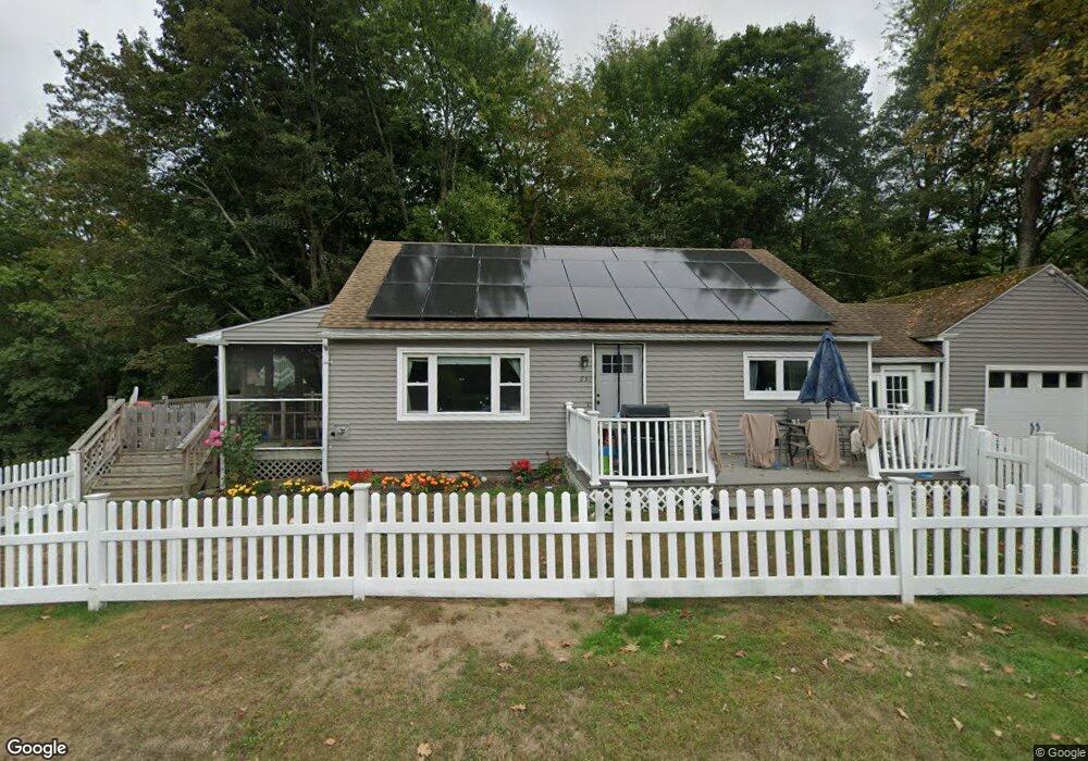
23 Birch Rd Shelburne Falls, MA 01370
Buckland NeighborhoodEstimated Value: $286,000 - $418,000
1
Bed
1
Bath
1,728
Sq Ft
$204/Sq Ft
Est. Value
About This Home
This home is located at 23 Birch Rd, Shelburne Falls, MA 01370 and is currently estimated at $353,314, approximately $204 per square foot. 23 Birch Rd is a home with nearby schools including Mohawk Trail Regional High School.
Ownership History
Date
Name
Owned For
Owner Type
Purchase Details
Closed on
Dec 20, 2016
Sold by
Herbert Kay G
Bought by
Chmura Charles W
Current Estimated Value
Home Financials for this Owner
Home Financials are based on the most recent Mortgage that was taken out on this home.
Original Mortgage
$181,818
Outstanding Balance
$146,905
Interest Rate
3.54%
Mortgage Type
New Conventional
Estimated Equity
$206,409
Purchase Details
Closed on
Jul 21, 1994
Sold by
Broschant Lawrence N and Broschant Anne L
Bought by
Chmura Mitchell E and Chmura Kay G
Home Financials for this Owner
Home Financials are based on the most recent Mortgage that was taken out on this home.
Original Mortgage
$95,000
Interest Rate
8.19%
Mortgage Type
Purchase Money Mortgage
Create a Home Valuation Report for This Property
The Home Valuation Report is an in-depth analysis detailing your home's value as well as a comparison with similar homes in the area
Home Values in the Area
Average Home Value in this Area
Purchase History
| Date | Buyer | Sale Price | Title Company |
|---|---|---|---|
| Chmura Charles W | $180,000 | -- | |
| Chmura Mitchell E | $100,000 | -- |
Source: Public Records
Mortgage History
| Date | Status | Borrower | Loan Amount |
|---|---|---|---|
| Open | Chmura Charles W | $181,818 | |
| Previous Owner | Chmura Mitchell E | $35,000 | |
| Previous Owner | Chmura Mitchell E | $83,341 | |
| Previous Owner | Chmura Mitchell E | $95,000 | |
| Previous Owner | Chmura Mitchell E | $20,000 |
Source: Public Records
Tax History Compared to Growth
Tax History
| Year | Tax Paid | Tax Assessment Tax Assessment Total Assessment is a certain percentage of the fair market value that is determined by local assessors to be the total taxable value of land and additions on the property. | Land | Improvement |
|---|---|---|---|---|
| 2025 | $4,821 | $284,600 | $46,900 | $237,700 |
| 2024 | $4,736 | $269,700 | $46,900 | $222,800 |
| 2023 | $4,164 | $245,800 | $46,900 | $198,900 |
| 2022 | $4,125 | $245,800 | $46,900 | $198,900 |
| 2021 | $3,873 | $217,100 | $46,900 | $170,200 |
| 2020 | $3,761 | $203,100 | $46,900 | $156,200 |
| 2019 | $3,532 | $189,600 | $46,900 | $142,700 |
| 2018 | $3,071 | $162,900 | $46,900 | $116,000 |
| 2017 | $2,940 | $162,900 | $46,900 | $116,000 |
| 2016 | $2,827 | $167,300 | $46,900 | $120,400 |
| 2015 | $2,811 | $167,300 | $46,900 | $120,400 |
Source: Public Records
Map
Nearby Homes
- 102 Elm St
- 10 Deerfield Ave Unit 5
- 10 Deerfield Ave Unit 2
- 105 - 107 Bridge St
- 33 Williams St
- 2151 Route 2
- 2155 Massachusetts 2
- 7 Hog Hollow Rd
- 156 Ashfield Rd
- 0 Upper St
- 31 W Oxbow Rd
- 24 W Oxbow Rd
- 0 Ashfield Rd
- 0 W Oxbow Rd Unit 73453651
- 85 Dacey Rd
- lot 1 Shelburne Falls Rd
- 3+5 Church St
- 240 Beldingville Rd
- 143 Charlemont Rd
- 0 Fiske Mill Rd