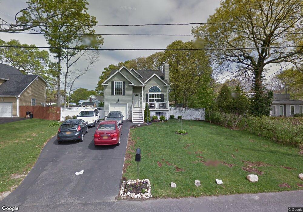
23 Brandywine Dr Mastic, NY 11950
Estimated Value: $586,000 - $626,000
4
Beds
2
Baths
1,570
Sq Ft
$380/Sq Ft
Est. Value
About This Home
This home is located at 23 Brandywine Dr, Mastic, NY 11950 and is currently estimated at $597,123, approximately $380 per square foot. 23 Brandywine Dr is a home located in Suffolk County with nearby schools including Eastport-South Manor Junior/Senior High School.
Ownership History
Date
Name
Owned For
Owner Type
Purchase Details
Closed on
Jul 16, 2009
Sold by
South Shore Development Corp
Bought by
Smith Shawn and Smith Michelle L
Current Estimated Value
Home Financials for this Owner
Home Financials are based on the most recent Mortgage that was taken out on this home.
Original Mortgage
$248,000
Interest Rate
5.43%
Mortgage Type
Purchase Money Mortgage
Purchase Details
Closed on
Jan 20, 2009
Sold by
Osprey Cove Developers I Nc
Bought by
South Shore Development C Orp.
Create a Home Valuation Report for This Property
The Home Valuation Report is an in-depth analysis detailing your home's value as well as a comparison with similar homes in the area
Home Values in the Area
Average Home Value in this Area
Purchase History
| Date | Buyer | Sale Price | Title Company |
|---|---|---|---|
| Smith Shawn | $310,000 | -- | |
| South Shore Development C Orp. | $110,000 | -- |
Source: Public Records
Mortgage History
| Date | Status | Borrower | Loan Amount |
|---|---|---|---|
| Previous Owner | Smith Shawn | $248,000 |
Source: Public Records
Tax History
| Year | Tax Paid | Tax Assessment Tax Assessment Total Assessment is a certain percentage of the fair market value that is determined by local assessors to be the total taxable value of land and additions on the property. | Land | Improvement |
|---|---|---|---|---|
| 2024 | $9,696 | $2,200 | $150 | $2,050 |
| 2023 | $9,696 | $2,200 | $150 | $2,050 |
| 2022 | $8,690 | $2,200 | $150 | $2,050 |
| 2021 | $8,690 | $2,200 | $150 | $2,050 |
| 2020 | $8,973 | $2,200 | $150 | $2,050 |
| 2019 | $8,973 | $0 | $0 | $0 |
| 2018 | $8,555 | $2,200 | $150 | $2,050 |
| 2017 | $8,555 | $2,200 | $150 | $2,050 |
| 2016 | $8,452 | $2,200 | $150 | $2,050 |
| 2015 | -- | $2,200 | $150 | $2,050 |
| 2014 | -- | $2,200 | $150 | $2,050 |
Source: Public Records
Map
Nearby Homes
- 12 Applegate Dr
- 25 Sweetbriar Dr
- 275 N Titmus Dr
- 129 Keller Dr
- 194 Cranford Blvd
- VL - (Sec 644 Lot 72 Moriches-Middle Island Rd
- 9 Dreamland St
- 189 Grand Ave
- 117 Fulton Ave
- 444 Puritan Dr
- 73 Maple Ave
- VL Moriches-Middle Island Rd
- 135 Forrest Ave
- 131 Forrest Ave
- 86 Stuyvesant Ave
- 9 Barnes Rd
- NC Malta Place
- 359 Wellwood Dr
- 334 Carnation Dr
- 342 Revilo Ave
- 25 Brandywine Dr
- 21 Brandywine Dr
- 27 Brandywine Dr
- 22 Applegate Dr
- 19 Brandywine Dr
- 24 Applegate Dr
- 20 Applegate Dr
- 24 Brandywine Dr
- 26 Brandywine Dr
- 22 Brandywine Dr
- 26 Applegate Dr
- 18 Applegate Dr Unit M
- 52 Aberdeen Dr
- 17 Brandywine Dr
- 28 Brandywine Dr
- 20 Brandywine Dr
- 28 Applegate Dr
- 16 Applegate Dr
- 44 Aberdeen Dr
- 18 Brandywine Dr
Your Personal Tour Guide
Ask me questions while you tour the home.