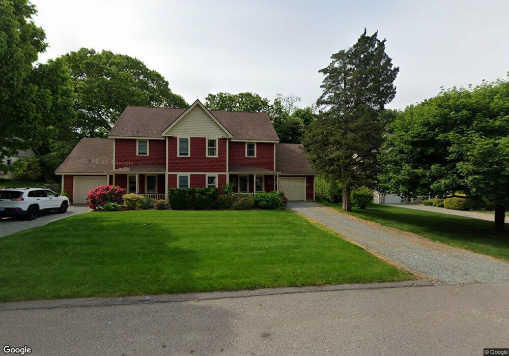
23 Captains Dr Westerly, RI 02891
Estimated Value: $529,365 - $631,000
2
Beds
3
Baths
1,440
Sq Ft
$401/Sq Ft
Est. Value
About This Home
This home is located at 23 Captains Dr, Westerly, RI 02891 and is currently estimated at $577,091, approximately $400 per square foot. 23 Captains Dr is a home located in Washington County with nearby schools including Westerly High School and St. Michael School.
Ownership History
Date
Name
Owned For
Owner Type
Purchase Details
Closed on
Jun 27, 1997
Sold by
Kenyon Russell W and Kenyon Beverly
Bought by
Macgillivray Karen C
Current Estimated Value
Purchase Details
Closed on
Mar 16, 1990
Sold by
Captains Watch Assn
Bought by
Kenyon Russel W
Create a Home Valuation Report for This Property
The Home Valuation Report is an in-depth analysis detailing your home's value as well as a comparison with similar homes in the area
Home Values in the Area
Average Home Value in this Area
Purchase History
| Date | Buyer | Sale Price | Title Company |
|---|---|---|---|
| Macgillivray Karen C | $143,500 | -- | |
| Kenyon Russel W | $135,000 | -- |
Source: Public Records
Mortgage History
| Date | Status | Borrower | Loan Amount |
|---|---|---|---|
| Open | Kenyon Russel W | $91,382 | |
| Closed | Kenyon Russel W | $97,610 | |
| Closed | Kenyon Russel W | $11,700 | |
| Closed | Kenyon Russel W | $107,625 |
Source: Public Records
Tax History
| Year | Tax Paid | Tax Assessment Tax Assessment Total Assessment is a certain percentage of the fair market value that is determined by local assessors to be the total taxable value of land and additions on the property. | Land | Improvement |
|---|---|---|---|---|
| 2025 | $3,361 | $432,000 | $0 | $432,000 |
| 2024 | $4,007 | $383,400 | $0 | $383,400 |
| 2023 | $3,895 | $383,400 | $0 | $383,400 |
| 2022 | $3,872 | $383,400 | $0 | $383,400 |
| 2021 | $3,500 | $290,200 | $0 | $290,200 |
| 2020 | $3,439 | $290,200 | $0 | $290,200 |
| 2019 | $3,407 | $290,200 | $0 | $290,200 |
| 2018 | $3,393 | $274,700 | $0 | $274,700 |
| 2017 | $3,377 | $281,400 | $0 | $281,400 |
| 2016 | $3,377 | $281,400 | $0 | $281,400 |
| 2015 | $3,160 | $281,400 | $0 | $281,400 |
| 2014 | $3,109 | $281,400 | $0 | $281,400 |
Source: Public Records
Map
Nearby Homes
- 18 Timothy Dr
- 24 Abbey Ln Unit 13
- 23 Abbey Ln Unit 12
- 19 Crestview Dr Unit C
- 21 North Dr
- 33 Whipple Ave
- 22 Summertime Cir
- 23 Summertime Cir
- 38 Summertime Cir
- 45 Summertime Cir
- 39 Summertime Cir
- 25 Summertime Cir
- 16 Green Ave
- 0 Green Ave
- 417 River Rd
- 10 Tristam St
- 16 Spring St
- 8 Kettle Close
- 9 Compass Way Unit 201
- 9 Compass Way Unit 202
- 23 Captain's Watch Unit 14 B
- 25 Captains Dr
- 25 Captains Dr Unit 25
- 25 Captains Dr Unit 25
- 25 Captains Dr Unit 14A
- 19 Captains Dr
- 29 Captains Dr
- 1 Seawinds Terrace
- 2 Seawinds Terrace Unit 4A
- 2 Seawinds Terrace Unit 1
- 17 Captains Dr
- 4 Seawinds Terrace
- 14 Bayview Dr
- 3 Seawinds Terrace
- 3 Seawinds Terrace Unit 3
- 3 Seawinds Terrace Unit 7A
- 15 Captains Dr
- 26 Captains Dr
- 31 Captains Dr
- 16 Bayview Dr
Your Personal Tour Guide
Ask me questions while you tour the home.