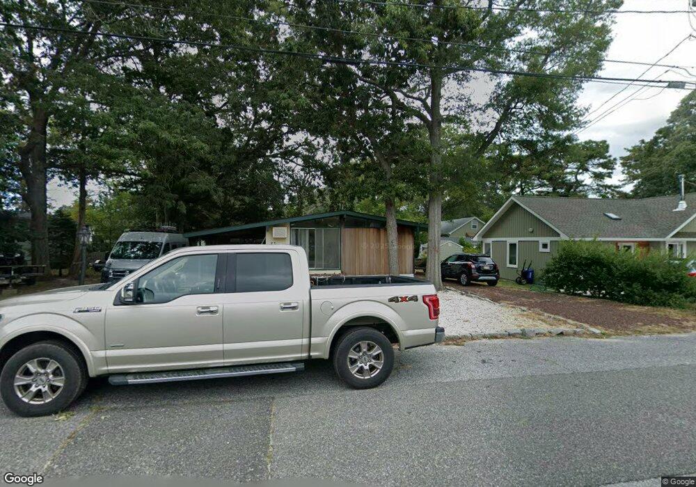
23 Cedarbrook Rd Cape May, NJ 08204
Estimated Value: $460,777 - $703,000
Studio
--
Bath
840
Sq Ft
$698/Sq Ft
Est. Value
About This Home
This home is located at 23 Cedarbrook Rd, Cape May, NJ 08204 and is currently estimated at $585,944, approximately $697 per square foot. 23 Cedarbrook Rd is a home located in Cape May County with nearby schools including David C. Douglass Veterans Memorial School, Carl T. Mitnick School, and Maud Abrams School.
Ownership History
Date
Name
Owned For
Owner Type
Purchase Details
Closed on
Jan 18, 2010
Sold by
Direnzo Vincent J and Doak Michelle
Bought by
Direnzo Vincent J
Current Estimated Value
Home Financials for this Owner
Home Financials are based on the most recent Mortgage that was taken out on this home.
Original Mortgage
$157,430
Interest Rate
5.02%
Mortgage Type
New Conventional
Purchase Details
Closed on
Aug 31, 2004
Sold by
Meyers Robert H and Meyers Ruth
Bought by
Direnzo Vincent J and Doak Michelle
Home Financials for this Owner
Home Financials are based on the most recent Mortgage that was taken out on this home.
Original Mortgage
$209,600
Interest Rate
5.46%
Mortgage Type
Stand Alone First
Create a Home Valuation Report for This Property
The Home Valuation Report is an in-depth analysis detailing your home's value as well as a comparison with similar homes in the area
Home Values in the Area
Average Home Value in this Area
Purchase History
| Date | Buyer | Sale Price | Title Company |
|---|---|---|---|
| Direnzo Vincent J | -- | North American Title Agency | |
| Direnzo Vincent J | $262,000 | The Title Company Of Jersey |
Source: Public Records
Mortgage History
| Date | Status | Borrower | Loan Amount |
|---|---|---|---|
| Closed | Direnzo Vincent J | $157,430 | |
| Closed | Direnzo Vincent J | $209,600 |
Source: Public Records
Tax History
| Year | Tax Paid | Tax Assessment Tax Assessment Total Assessment is a certain percentage of the fair market value that is determined by local assessors to be the total taxable value of land and additions on the property. | Land | Improvement |
|---|---|---|---|---|
| 2025 | $4,052 | $199,800 | $140,000 | $59,800 |
| 2024 | $4,052 | $199,800 | $140,000 | $59,800 |
Source: Public Records
Map
Nearby Homes
- 101 Avalon Rd
- 17 Fernwood Rd
- 18 Pinewood Rd
- 10 Folsom Ave
- 26 Adelphia Rd
- 3904 Bybrook Dr
- 511 Forest Rd
- 5 Kenvil Rd
- 82 Beachhurst Dr
- 86 Beachhurst Dr
- 105 Keyport Rd
- 56 Breakwater Terrace Unit 56
- 706 Gordon Terrace
- 217 Mindy Ave
- 216 Hughes Ave
- 15 Davis Place Unit 15
- 507 Scotty Blvd
- 507 Scotty Blvd Unit 1301
- 506 Scotty Blvd Unit 1204
- 207 Amhurst Rd
- 21 Cedarbrook Rd
- 25 Cedarbrook Rd
- 18 Brookdale Rd
- 20 Cedarbrook Rd
- 19 Cedarbrook Rd
- 20 Brookdale Rd
- 22 Cedarbrook Rd
- 16 Brookdale Rd
- 27 Cedarbrook Rd
- 18 Cedarbrook Rd
- 17 Cedarbrook Rd
- 22 Brookdale Rd
- 24 Cedarbrook Rd
- 14 Brookdale Rd
- 15 Cedarbrook Rd
- 610 Clubhouse Dr
- 29 Cedarbrook Rd
- 21 Delair Rd
- 19 Delair Rd
- 10 Brookdale Rd
Your Personal Tour Guide
Ask me questions while you tour the home.