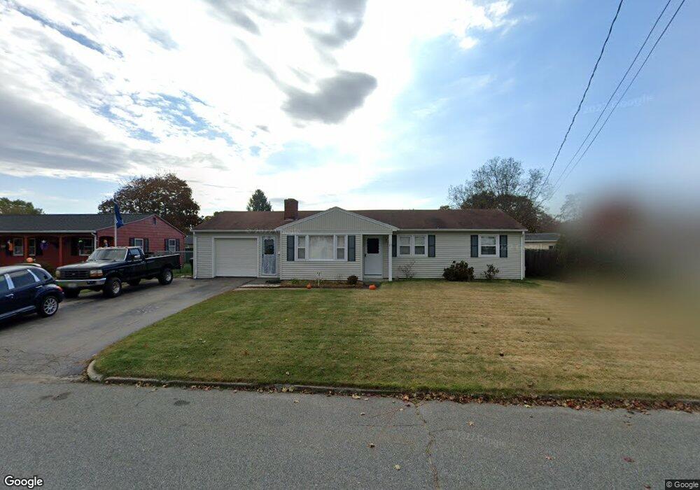
23 Duncan Rd Warwick, RI 02886
Buttonwoods NeighborhoodEstimated Value: $376,055 - $439,000
3
Beds
1
Bath
1,052
Sq Ft
$387/Sq Ft
Est. Value
About This Home
This home is located at 23 Duncan Rd, Warwick, RI 02886 and is currently estimated at $406,764, approximately $386 per square foot. 23 Duncan Rd is a home located in Kent County with nearby schools including St Rose Of Lima School and Eleanor Briggs School.
Ownership History
Date
Name
Owned For
Owner Type
Purchase Details
Closed on
Aug 31, 2005
Sold by
Buccacci William F
Bought by
Belasco Kevin J
Current Estimated Value
Home Financials for this Owner
Home Financials are based on the most recent Mortgage that was taken out on this home.
Original Mortgage
$204,400
Outstanding Balance
$107,731
Interest Rate
5.81%
Mortgage Type
Purchase Money Mortgage
Estimated Equity
$299,033
Purchase Details
Closed on
Mar 1, 2002
Sold by
Guertin Timothy J and Guertin Peggy A
Bought by
Bucacci William F
Create a Home Valuation Report for This Property
The Home Valuation Report is an in-depth analysis detailing your home's value as well as a comparison with similar homes in the area
Home Values in the Area
Average Home Value in this Area
Purchase History
| Date | Buyer | Sale Price | Title Company |
|---|---|---|---|
| Belasco Kevin J | $256,000 | -- | |
| Bucacci William F | $132,000 | -- |
Source: Public Records
Mortgage History
| Date | Status | Borrower | Loan Amount |
|---|---|---|---|
| Open | Bucacci William F | $55,600 | |
| Open | Bucacci William F | $204,400 | |
| Closed | Bucacci William F | $51,000 | |
| Previous Owner | Bucacci William F | $123,000 |
Source: Public Records
Tax History
| Year | Tax Paid | Tax Assessment Tax Assessment Total Assessment is a certain percentage of the fair market value that is determined by local assessors to be the total taxable value of land and additions on the property. | Land | Improvement |
|---|---|---|---|---|
| 2025 | $4,274 | $336,500 | $111,900 | $224,600 |
| 2024 | $4,089 | $282,600 | $93,700 | $188,900 |
| 2023 | $4,010 | $282,600 | $93,700 | $188,900 |
| 2022 | $3,976 | $212,300 | $70,600 | $141,700 |
| 2021 | $3,976 | $212,300 | $70,600 | $141,700 |
| 2020 | $3,976 | $212,300 | $70,600 | $141,700 |
| 2019 | $3,976 | $212,300 | $70,600 | $141,700 |
| 2018 | $3,266 | $157,000 | $70,600 | $86,400 |
| 2017 | $3,178 | $157,000 | $70,600 | $86,400 |
| 2016 | $3,178 | $157,000 | $70,600 | $86,400 |
| 2015 | $2,986 | $143,900 | $68,200 | $75,700 |
| 2014 | $2,887 | $143,900 | $68,200 | $75,700 |
| 2013 | $2,848 | $143,900 | $68,200 | $75,700 |
Source: Public Records
Map
Nearby Homes
- 60 Duncan Rd
- 247 Asylum Rd
- 161 Sunny Cove Dr
- 96 Moccasin Dr
- 132 Bakers Creek Rd
- 46 Andrew Comstock Rd
- 311 Capron Farm Dr
- 201 Hollis Ave
- 70 Turner St Unit D-2
- 345 Nausauket Rd
- 72 Hollis Ave
- 20 Darrow Dr
- 15 Link St
- 110 Tiernan Ave
- 44 Westbrook Rd
- 88 Child Ln
- 10 Cosett Rd
- 165 Canfield Ave
- 176 Canfield Ave
- 211 Pinnery Ave
Your Personal Tour Guide
Ask me questions while you tour the home.