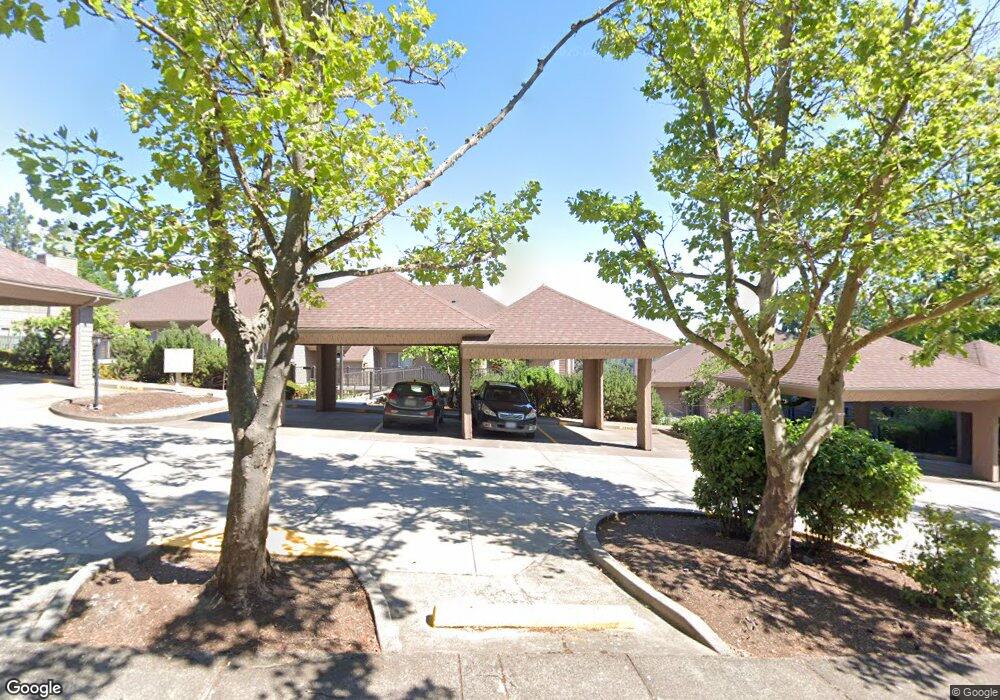
23 Rockridge Dr Unit 5 Eugene, OR 97405
Crest Drive NeighborhoodEstimated Value: $284,000 - $364,000
2
Beds
2
Baths
1,068
Sq Ft
$297/Sq Ft
Est. Value
About This Home
This home is located at 23 Rockridge Dr Unit 5, Eugene, OR 97405 and is currently estimated at $317,682, approximately $297 per square foot. 23 Rockridge Dr Unit 5 is a home located in Lane County with nearby schools including Edgewood Community Elementary School, Spencer Butte Middle School, and South Eugene High School.
Ownership History
Date
Name
Owned For
Owner Type
Purchase Details
Closed on
Aug 28, 2015
Sold by
Bodwell James M and Bodwell Joan K
Bought by
Mennis Patricia A
Current Estimated Value
Home Financials for this Owner
Home Financials are based on the most recent Mortgage that was taken out on this home.
Original Mortgage
$135,000
Outstanding Balance
$105,959
Interest Rate
4.05%
Mortgage Type
Purchase Money Mortgage
Estimated Equity
$211,723
Purchase Details
Closed on
May 8, 2012
Sold by
Moore Patricia J
Bought by
Bodwell James M and Bodwell Joan K
Purchase Details
Closed on
Nov 17, 2010
Sold by
Evans Susan R
Bought by
Moore Patricia J
Home Financials for this Owner
Home Financials are based on the most recent Mortgage that was taken out on this home.
Original Mortgage
$128,400
Interest Rate
4.23%
Mortgage Type
New Conventional
Purchase Details
Closed on
Jul 19, 2007
Sold by
Strooband Peter Michael
Bought by
Evans Susan R
Home Financials for this Owner
Home Financials are based on the most recent Mortgage that was taken out on this home.
Original Mortgage
$142,500
Interest Rate
6.73%
Mortgage Type
Purchase Money Mortgage
Purchase Details
Closed on
Jul 9, 2007
Sold by
Strooband Marsha C
Bought by
Strooband Peter Michael
Home Financials for this Owner
Home Financials are based on the most recent Mortgage that was taken out on this home.
Original Mortgage
$142,500
Interest Rate
6.73%
Mortgage Type
Purchase Money Mortgage
Purchase Details
Closed on
Oct 10, 2003
Sold by
Prebus Donald L
Bought by
Strooband Peter Michael and Strooband Marsha C
Home Financials for this Owner
Home Financials are based on the most recent Mortgage that was taken out on this home.
Original Mortgage
$40,300
Interest Rate
5.98%
Mortgage Type
Purchase Money Mortgage
Purchase Details
Closed on
Nov 6, 1998
Sold by
Stater Shirley A
Bought by
Prebus Donald L
Home Financials for this Owner
Home Financials are based on the most recent Mortgage that was taken out on this home.
Original Mortgage
$75,000
Interest Rate
6.54%
Create a Home Valuation Report for This Property
The Home Valuation Report is an in-depth analysis detailing your home's value as well as a comparison with similar homes in the area
Home Values in the Area
Average Home Value in this Area
Purchase History
| Date | Buyer | Sale Price | Title Company |
|---|---|---|---|
| Mennis Patricia A | $160,000 | Western Title & Escrow Co | |
| Bodwell James M | $138,000 | Fidelity National Title Insu | |
| Moore Patricia J | $160,500 | First American Title | |
| Evans Susan R | $180,000 | Western Title & Escrow Compa | |
| Strooband Peter Michael | -- | None Available | |
| Strooband Peter Michael | $119,000 | Cascade Title Co | |
| Prebus Donald L | $111,000 | Title Guaranty Company |
Source: Public Records
Mortgage History
| Date | Status | Borrower | Loan Amount |
|---|---|---|---|
| Open | Mennis Patricia A | $135,000 | |
| Previous Owner | Moore Patricia J | $128,400 | |
| Previous Owner | Evans Susan R | $142,500 | |
| Previous Owner | Strooband Peter Michael | $40,300 | |
| Previous Owner | Prebus Donald L | $75,000 |
Source: Public Records
Tax History
| Year | Tax Paid | Tax Assessment Tax Assessment Total Assessment is a certain percentage of the fair market value that is determined by local assessors to be the total taxable value of land and additions on the property. | Land | Improvement |
|---|---|---|---|---|
| 2025 | $3,837 | $196,952 | -- | -- |
| 2024 | $3,790 | $191,216 | -- | -- |
| 2023 | $3,790 | $185,647 | $0 | $0 |
| 2022 | $3,550 | $180,240 | $0 | $0 |
| 2021 | $3,335 | $174,991 | $0 | $0 |
| 2020 | $3,346 | $169,895 | $0 | $0 |
| 2019 | $3,232 | $164,947 | $0 | $0 |
| 2018 | $3,042 | $155,479 | $0 | $0 |
| 2017 | $2,779 | $155,479 | $0 | $0 |
| 2016 | $2,667 | $150,950 | $0 | $0 |
Source: Public Records
Map
Nearby Homes
- 278 Rockridge Ct
- 143 Treehill Loop Unit 143
- 36 Westbrook Way
- 152 Treehill Loop Unit 152
- 151 Treehill Loop Unit 151
- 21 Westbrook Way
- 17 Westbrook Way
- 4734 Brookwood St
- 422 Stonewood Dr Unit 422
- 418 Stonewood Dr Unit 418
- 223 Trailside Loop Unit 223
- 395 E 46th Ave
- 4845 Brookwood St
- 653 Brookside Dr
- 170 E 40th Ave
- 0 Pine View Ct Unit 758820410
- 296 Woodridge Dr
- 784 Brookside Dr
- 202 Foxtail Dr
- 4425 Hilyard St
- 35 Rockridge Dr
- 27 Rockridge Dr
- 39 Rockridge Dr
- 43 Rockridge Dr Unit 9
- 43 Rockridge Dr
- 7 Rockridge Dr Unit 3
- 7 Rockridge Dr
- 19 Rockridge Dr Unit 4
- 59 Rockridge Dr Unit 6
- 47 Rockridge Dr
- 3 Rockridge Dr
- 3 Rockridge Dr
- 15 Rockridge Dr Unit 2
- 63 Rockridge Dr
- 79 Rockridge Dr
- 67 Rockridge Dr
- 95 Rockridge Dr Unit 14
- 83 Rockridge Dr
- 87 Rockridge Dr
- 30 Coachman Dr
Your Personal Tour Guide
Ask me questions while you tour the home.