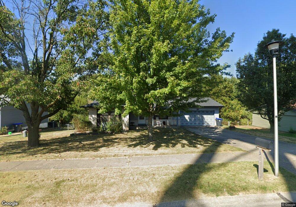
23 Westbrook Dr O Fallon, MO 63366
Estimated Value: $282,000 - $308,000
4
Beds
3
Baths
1,135
Sq Ft
$260/Sq Ft
Est. Value
About This Home
This home is located at 23 Westbrook Dr, O Fallon, MO 63366 and is currently estimated at $295,264, approximately $260 per square foot. 23 Westbrook Dr is a home located in St. Charles County with nearby schools including Joseph L. Mudd Elementary School, Forest Park Elementary School, and Fort Zumwalt North Middle School.
Ownership History
Date
Name
Owned For
Owner Type
Purchase Details
Closed on
Oct 14, 2020
Sold by
Russo Adam and Russo Allison
Bought by
Russo Adam and Russo Allison
Current Estimated Value
Home Financials for this Owner
Home Financials are based on the most recent Mortgage that was taken out on this home.
Original Mortgage
$110,525
Outstanding Balance
$98,127
Interest Rate
2.8%
Mortgage Type
New Conventional
Estimated Equity
$197,137
Purchase Details
Closed on
Mar 12, 2014
Sold by
Cody Properties Llc
Bought by
Pettibone Allison and Russo Adam
Home Financials for this Owner
Home Financials are based on the most recent Mortgage that was taken out on this home.
Original Mortgage
$109,520
Interest Rate
4.36%
Mortgage Type
New Conventional
Purchase Details
Closed on
May 28, 2013
Sold by
Johnson Christopher David and Johnson Lorraine B
Bought by
Cody Properties Llc
Create a Home Valuation Report for This Property
The Home Valuation Report is an in-depth analysis detailing your home's value as well as a comparison with similar homes in the area
Home Values in the Area
Average Home Value in this Area
Purchase History
| Date | Buyer | Sale Price | Title Company |
|---|---|---|---|
| Russo Adam | -- | None Available | |
| Russo Adam | $146,998 | None Listed On Document | |
| Pettibone Allison | $136,900 | Ust | |
| Cody Properties Llc | $81,500 | None Available |
Source: Public Records
Mortgage History
| Date | Status | Borrower | Loan Amount |
|---|---|---|---|
| Open | Russo Adam | $110,525 | |
| Closed | Russo Adam | $110,525 | |
| Previous Owner | Pettibone Allison | $109,520 |
Source: Public Records
Tax History Compared to Growth
Tax History
| Year | Tax Paid | Tax Assessment Tax Assessment Total Assessment is a certain percentage of the fair market value that is determined by local assessors to be the total taxable value of land and additions on the property. | Land | Improvement |
|---|---|---|---|---|
| 2025 | $2,680 | $45,204 | -- | -- |
| 2023 | $2,681 | $40,312 | $0 | $0 |
| 2022 | $2,417 | $33,781 | $0 | $0 |
| 2021 | $2,419 | $33,781 | $0 | $0 |
| 2020 | $2,005 | $27,106 | $0 | $0 |
| 2019 | $3,799 | $27,106 | $0 | $0 |
| 2018 | $2,119 | $27,317 | $0 | $0 |
| 2017 | $2,085 | $27,317 | $0 | $0 |
| 2016 | $1,834 | $23,924 | $0 | $0 |
| 2015 | $1,705 | $23,924 | $0 | $0 |
| 2014 | $1,619 | $22,338 | $0 | $0 |
Source: Public Records
Map
Nearby Homes
- 323 Linda Ln
- 326 Westridge Dr
- 731 Cordes St
- 403 Montbrook Dr
- 6 Autumn Grove Ct
- 38 Downing St
- 21 Limerick Ln
- 735 Sunset Ln
- 35 Chip Dr
- 3 Limerick Ln Unit 19A
- 151 N Wellington St
- 147 S Wellington
- 65 Snowberry Ridge Ct
- 423 Woodlawn Ave
- 609 Peace Dr
- 5 Butler National Ct
- 863 Emge Rd
- 16 Fort Zumwalt Dr
- 303 Church St
- 33 Orchid Ct
- 25 Westbrook Dr
- 421 Westbrook Dr
- 31 Shadybrook Ct
- 27 Westbrook Dr
- 419 Westbrook Dr
- 420 Westbrook Dr
- 61 Westbrook Dr
- 29 Westbrook Dr
- 33 Shadybrook Ct
- 417 Westbrook Dr
- 59 Westbrook Dr
- 57 Westbrook Dr
- 418 Westbrook Dr
- 26 Westbrook Dr
- 28 Brookside Ct
- 1 Tbb-Meridian at Brookside
- 1 Tbb Barcelona at Brookside
- 1 Tbb Geneva at Brookside
- 1 Tbb-Franklin at Brookside
- 1 Tbb Hemingway at Brookside