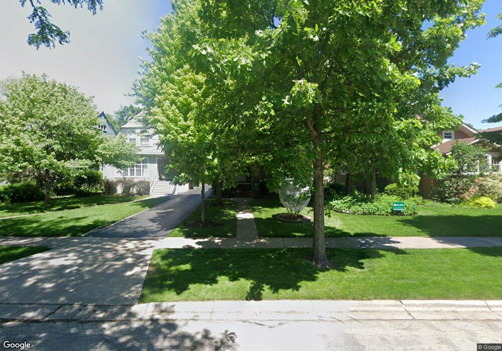
230 Herrick Rd Riverside, IL 60546
Estimated Value: $605,604 - $666,000
4
Beds
3
Baths
2,017
Sq Ft
$315/Sq Ft
Est. Value
About This Home
This home is located at 230 Herrick Rd, Riverside, IL 60546 and is currently estimated at $634,901, approximately $314 per square foot. 230 Herrick Rd is a home located in Cook County with nearby schools including Central Elementary School, L J Hauser Jr High School, and Riverside Brookfield High School.
Ownership History
Date
Name
Owned For
Owner Type
Purchase Details
Closed on
Nov 25, 1998
Sold by
Hahn Mark J and Hahn Alice
Bought by
Castle Kenneth R and Castle Lynne F
Current Estimated Value
Home Financials for this Owner
Home Financials are based on the most recent Mortgage that was taken out on this home.
Original Mortgage
$167,400
Outstanding Balance
$34,559
Interest Rate
6.8%
Estimated Equity
$600,342
Create a Home Valuation Report for This Property
The Home Valuation Report is an in-depth analysis detailing your home's value as well as a comparison with similar homes in the area
Home Values in the Area
Average Home Value in this Area
Purchase History
| Date | Buyer | Sale Price | Title Company |
|---|---|---|---|
| Castle Kenneth R | $197,000 | -- |
Source: Public Records
Mortgage History
| Date | Status | Borrower | Loan Amount |
|---|---|---|---|
| Open | Castle Kenneth R | $167,400 |
Source: Public Records
Tax History
| Year | Tax Paid | Tax Assessment Tax Assessment Total Assessment is a certain percentage of the fair market value that is determined by local assessors to be the total taxable value of land and additions on the property. | Land | Improvement |
|---|---|---|---|---|
| 2025 | $9,484 | $49,454 | $10,800 | $38,654 |
| 2024 | $9,484 | $49,454 | $10,800 | $38,654 |
| 2023 | $11,453 | $55,000 | $10,800 | $44,200 |
| 2022 | $11,453 | $37,426 | $9,450 | $27,976 |
| 2021 | $11,968 | $39,846 | $9,450 | $30,396 |
| 2020 | $12,860 | $39,846 | $9,450 | $30,396 |
| 2019 | $12,142 | $38,613 | $8,640 | $29,973 |
| 2018 | $11,783 | $38,613 | $8,640 | $29,973 |
| 2017 | $11,425 | $38,613 | $8,640 | $29,973 |
| 2016 | $10,726 | $32,954 | $7,560 | $25,394 |
| 2015 | $11,221 | $35,233 | $7,560 | $27,673 |
| 2014 | $11,047 | $35,233 | $7,560 | $27,673 |
| 2013 | $10,687 | $36,887 | $7,560 | $29,327 |
Source: Public Records
Map
Nearby Homes
- 269 Shenstone Rd
- 369 Addison Rd
- 10 E Burlington St Unit 2C
- 10 E Burlington St Unit 2B
- 231 Bartram Rd
- 280 Blackhawk Rd
- 176 Riverside Rd
- 475 Shenstone Rd Unit 104
- 475 Shenstone Rd Unit 304
- 475 Shenstone Rd Unit 303
- 484 Shenstone Rd
- 262 Lionel Rd
- 303 Lionel Rd
- 78 Pine Ave
- 478 Kent Rd
- 315 Bartram Rd
- 7048 35th St
- 101 Southcote Rd
- 305 Desplaines Ave
- 220 Maplewood Rd
- 228 Herrick Rd
- 234 Herrick Rd
- 224 Herrick Rd
- 238 Herrick Rd
- 222 Herrick Rd
- 242 Herrick Rd
- 242 Herrick Rd
- 218 Herrick Rd Unit 3
- 218 Herrick Rd
- 218 Herrick Rd Unit 2
- 255 Addison Rd
- 259 Addison Rd
- 243 Addison Rd
- 70 N Herbert Rd
- 66 N Herbert Rd
- 239 Addison Rd
- 233 Herrick Rd
- 229 Herrick Rd
- 237 Herrick Rd
- 225 Herrick Rd
Your Personal Tour Guide
Ask me questions while you tour the home.