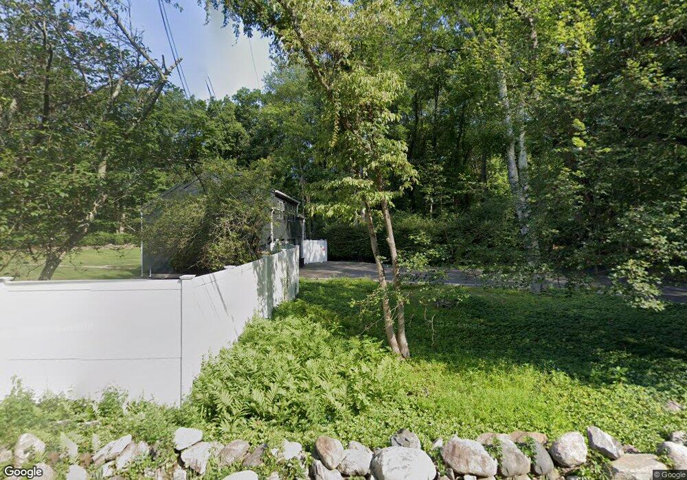
230 Sharp Hill Rd Wilton, CT 06897
Estimated Value: $2,076,084 - $2,482,000
5
Beds
7
Baths
5,073
Sq Ft
$446/Sq Ft
Est. Value
About This Home
This home is located at 230 Sharp Hill Rd, Wilton, CT 06897 and is currently estimated at $2,260,771, approximately $445 per square foot. 230 Sharp Hill Rd is a home located in Fairfield County with nearby schools including Miller-Driscoll School, Cider Mill School, and Middlebrook School.
Ownership History
Date
Name
Owned For
Owner Type
Purchase Details
Closed on
May 20, 2002
Sold by
Sharp Hill Rd Assoc Ll
Bought by
Finnecy Robert P and Finnecy Cynthia L
Current Estimated Value
Purchase Details
Closed on
May 23, 2001
Sold by
Pk Rlty
Bought by
Sharp Hill Rd Assoc
Purchase Details
Closed on
Mar 1, 2001
Sold by
Rosengarten Jody
Bought by
Pk Realty Investors
Create a Home Valuation Report for This Property
The Home Valuation Report is an in-depth analysis detailing your home's value as well as a comparison with similar homes in the area
Home Values in the Area
Average Home Value in this Area
Purchase History
| Date | Buyer | Sale Price | Title Company |
|---|---|---|---|
| Finnecy Robert P | $1,450,000 | -- | |
| Sharp Hill Rd Assoc | $450,000 | -- | |
| Pk Realty Investors | $350,000 | -- |
Source: Public Records
Mortgage History
| Date | Status | Borrower | Loan Amount |
|---|---|---|---|
| Open | Pk Realty Investors | $985,700 | |
| Closed | Pk Realty Investors | $1,400,000 | |
| Closed | Pk Realty Investors | $1,475,000 |
Source: Public Records
Tax History
| Year | Tax Paid | Tax Assessment Tax Assessment Total Assessment is a certain percentage of the fair market value that is determined by local assessors to be the total taxable value of land and additions on the property. | Land | Improvement |
|---|---|---|---|---|
| 2025 | $30,413 | $1,245,930 | $300,020 | $945,910 |
| 2024 | $29,828 | $1,245,930 | $300,020 | $945,910 |
| 2023 | $34,299 | $936,670 | $278,460 | $658,210 |
| 2022 | $26,442 | $936,670 | $278,460 | $658,210 |
| 2021 | $7,530 | $936,670 | $278,460 | $658,210 |
| 2020 | $25,721 | $936,670 | $278,460 | $658,210 |
| 2019 | $7,102 | $936,670 | $278,460 | $658,210 |
| 2018 | $28,398 | $1,007,370 | $292,390 | $714,980 |
| 2017 | $7,138 | $1,007,370 | $292,390 | $714,980 |
| 2016 | $27,541 | $1,007,370 | $292,390 | $714,980 |
| 2015 | $27,028 | $1,007,370 | $292,390 | $714,980 |
| 2014 | $26,705 | $1,007,370 | $292,390 | $714,980 |
Source: Public Records
Map
Nearby Homes
- 105 Old Hwy
- 76 Sturges Ridge Rd
- 25 Powder Horn Hill Rd
- 25 Cherry Ln
- 21 Old Hwy
- 3 Deerfield Rd
- 340 Sturges Ridge Rd
- 253 Rivergate Dr
- 84 Wilton Crest Rd Unit 84
- 32 Catalpa Rd
- 205 Weston Rd
- 35 Joanne Ln
- 14 Langner Ln
- 6 Downe Ln
- 4 Trails End Rd
- 89 Chestnut Hill Rd
- 475 Danbury Rd
- 20 Arrowhead Rd
- 25 Arrowhead Rd
- 2 Village Ct Unit 2
- 224 Sharp Hill Rd
- 147 Hurlbutt St
- 202 Sharp Hill Rd
- 152 Hurlbutt St
- 138 Hurlbutt St
- 161 Hurlbutt St
- 158 Hurlbutt St
- 240 Sharp Hill Rd
- 204 Sharp Hill Rd
- 221 Sharp Hill Rd
- 208 Sharp Hill Rd
- 132 Hurlbutt St
- 231 Sharp Hill Rd
- 162 Hurlbutt St
- 142 Hurlbutt St
- 150 Hurlbutt St
- 169 Hurlbutt St
- 123 Hurlbutt St
- 126 Hurlbutt St
- 42 Buckingham Ridge Rd
Your Personal Tour Guide
Ask me questions while you tour the home.