2300 Independence Loop Lexington, TN 38351
Estimated Value: $623,319 - $730,000
4
Beds
4
Baths
4,342
Sq Ft
$154/Sq Ft
Est. Value
About This Home
This home is located at 2300 Independence Loop, Lexington, TN 38351 and is currently estimated at $669,106, approximately $154 per square foot. 2300 Independence Loop is a home located in Henderson County.
Ownership History
Date
Name
Owned For
Owner Type
Purchase Details
Closed on
Dec 22, 2011
Sold by
Gillespie Tom
Bought by
Burke Tommy C and Burke Lauren
Current Estimated Value
Home Financials for this Owner
Home Financials are based on the most recent Mortgage that was taken out on this home.
Original Mortgage
$248,000
Outstanding Balance
$170,137
Interest Rate
4.07%
Mortgage Type
Commercial
Estimated Equity
$498,969
Purchase Details
Closed on
Apr 23, 2009
Sold by
Dorris Guy P
Bought by
Gillespie Carla
Purchase Details
Closed on
May 2, 2006
Bought by
Dorris Guy P and Dorris Debby
Create a Home Valuation Report for This Property
The Home Valuation Report is an in-depth analysis detailing your home's value as well as a comparison with similar homes in the area
Home Values in the Area
Average Home Value in this Area
Purchase History
| Date | Buyer | Sale Price | Title Company |
|---|---|---|---|
| Burke Tommy C | $310,000 | -- | |
| Gillespie Carla | $261,000 | -- | |
| Dorris Guy P | $25,500 | -- |
Source: Public Records
Mortgage History
| Date | Status | Borrower | Loan Amount |
|---|---|---|---|
| Open | Burke Tommy C | $248,000 |
Source: Public Records
Tax History Compared to Growth
Tax History
| Year | Tax Paid | Tax Assessment Tax Assessment Total Assessment is a certain percentage of the fair market value that is determined by local assessors to be the total taxable value of land and additions on the property. | Land | Improvement |
|---|---|---|---|---|
| 2024 | $2,811 | $177,750 | $12,275 | $165,475 |
| 2023 | $2,811 | $177,750 | $12,275 | $165,475 |
| 2022 | $2,733 | $115,300 | $8,575 | $106,725 |
| 2021 | $2,733 | $115,300 | $8,575 | $106,725 |
| 2020 | $2,733 | $115,300 | $8,575 | $106,725 |
| 2019 | $2,733 | $115,300 | $8,575 | $106,725 |
| 2018 | $2,230 | $97,650 | $8,575 | $89,075 |
| 2017 | $2,230 | $97,650 | $8,575 | $89,075 |
| 2016 | $2,289 | $96,350 | $8,575 | $87,775 |
| 2015 | $2,289 | $96,350 | $8,575 | $87,775 |
| 2014 | $2,289 | $96,347 | $0 | $0 |
Source: Public Records
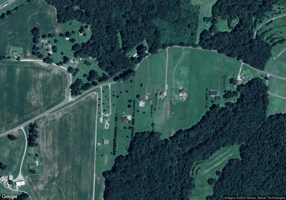
Map
Nearby Homes
- 413 Law Ln
- 0 End of 95 @ I-40
- 0 Us-412 Hwy W
- 1014 Crawford Springs Rd
- 000 I-40 at Exit 93 E
- 000 Mt Gilead
- 649 Spring Creek Law Rd
- 688 Spring Creek Law Rd
- 151 Williams Ln
- 0 Lakewood Dr E
- 1840 Blue Goose Rd
- 00 Springbrook Dr
- 0 Liberty Claybrook Rd
- 00 Liberty Claybrook Rd
- 290 Westover Rd
- 0 Daws Ln
- 23 Springview Dr
- 2710 Blue Goose Rd
- 2735 Blue Goose Rd
- 883 Crucifer Rd
- 2210 Independence Loop
- 2322 Independence Loop
- 2215 Independence Loop
- 2194 Independence Loop
- 2402 Independence Loop
- 2172 Independence Loop
- 2365 Independence Loop
- 2464 Independence Loop
- 121 Indy Ln
- 2005 Independence Loop
- 1940 Independence Loop
- 175 Law Rd
- 2611 Independence Loop
- 1784 Independence Loop
- 233 Law Rd
- 82 Law Rd
- 2760 Independence Loop
- 1722 Independence Loop
- 006 Independence Loop
- 0 Independence Loop