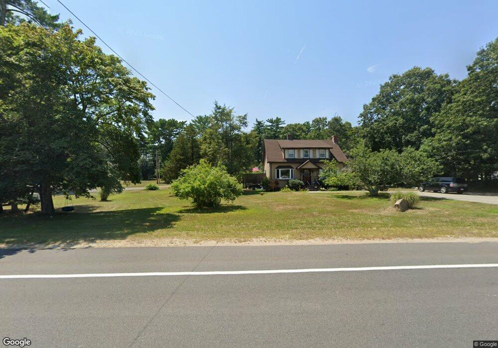
2309 Cranberry Hwy West Wareham, MA 02576
Estimated Value: $540,426 - $608,000
3
Beds
3
Baths
1,920
Sq Ft
$302/Sq Ft
Est. Value
About This Home
This home is located at 2309 Cranberry Hwy, West Wareham, MA 02576 and is currently estimated at $579,357, approximately $301 per square foot. 2309 Cranberry Hwy is a home located in Plymouth County.
Ownership History
Date
Name
Owned For
Owner Type
Purchase Details
Closed on
Jun 2, 2021
Sold by
Lee Marie
Bought by
Lee Veronica
Current Estimated Value
Purchase Details
Closed on
Jan 20, 2012
Sold by
Lee Patricia M
Bought by
Daniel Road Nt
Home Financials for this Owner
Home Financials are based on the most recent Mortgage that was taken out on this home.
Original Mortgage
$107,000
Interest Rate
3.98%
Mortgage Type
New Conventional
Create a Home Valuation Report for This Property
The Home Valuation Report is an in-depth analysis detailing your home's value as well as a comparison with similar homes in the area
Home Values in the Area
Average Home Value in this Area
Purchase History
| Date | Buyer | Sale Price | Title Company |
|---|---|---|---|
| Lee Veronica | -- | None Available | |
| Lee Veronica | -- | None Available | |
| Daniel Road Nt | $81,000 | -- | |
| Daniel Road Nt | $81,000 | -- |
Source: Public Records
Mortgage History
| Date | Status | Borrower | Loan Amount |
|---|---|---|---|
| Previous Owner | Daniel Road Nt | $107,000 | |
| Previous Owner | Daniel Road Nt | $209,921 |
Source: Public Records
Tax History Compared to Growth
Tax History
| Year | Tax Paid | Tax Assessment Tax Assessment Total Assessment is a certain percentage of the fair market value that is determined by local assessors to be the total taxable value of land and additions on the property. | Land | Improvement |
|---|---|---|---|---|
| 2025 | $4,891 | $469,400 | $107,200 | $362,200 |
| 2024 | $5,124 | $456,300 | $85,900 | $370,400 |
| 2023 | $4,535 | $408,500 | $78,300 | $330,200 |
| 2022 | $4,535 | $344,100 | $78,300 | $265,800 |
| 2021 | $4,465 | $332,000 | $78,300 | $253,700 |
| 2020 | $4,136 | $311,900 | $78,300 | $233,600 |
| 2019 | $4,016 | $302,200 | $80,700 | $221,500 |
| 2018 | $3,746 | $274,800 | $80,700 | $194,100 |
| 2017 | $3,524 | $262,000 | $80,700 | $181,300 |
| 2016 | $3,216 | $237,700 | $80,800 | $156,900 |
| 2015 | $3,107 | $237,700 | $80,800 | $156,900 |
| 2014 | $3,044 | $236,900 | $76,700 | $160,200 |
Source: Public Records
Map
Nearby Homes
- 47 Weaver St
- 20 Gault Rd
- 51 Crest Dr
- 103 Castle Dr
- 27 Siesta Dr
- 4 Siesta Dr
- 2230 Cranberry Hwy Unit 1
- 11 Acoaxet Ln
- 41 Longboat Rd
- 72 Papermill Rd Unit 72
- 59 Timber Ln
- 563 County Rd
- 87 Great Hill Dr
- 189 Pine View Terrace
- 199 Windswept Rd
- 11 Fonseca Way
- 46 Helen St
- 527 High St
- 490 High St
- 7 Forbes Rd
- 2307 Cranberry Hwy
- 2311 Cranberry Hwy
- 2305 Cranberry Hwy
- 19 Weaver St
- 19A Weaver St
- 17 Weaver St
- 25 Weaver St
- 2308 Cranberry Hwy
- 2306 Cranberry Hwy
- 0 Cranberry Hwy
- 16 Weaver St
- 39 Weaver St
- 11 Weaver St
- 2298 Cranberry Hwy
- 2-4 Weaver St
- 2297 Cranberry Hwy
- 2297 Cranberry Hwy
- 14 Weaver St
- 10 Weaver St
- 29 Weaver St