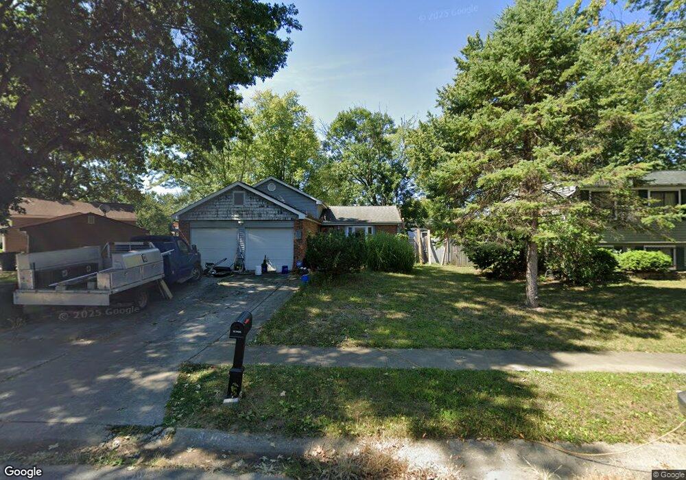
2309 Tempest Dr Columbus, OH 43232
Glenbrook NeighborhoodEstimated Value: $143,000 - $207,000
3
Beds
2
Baths
1,000
Sq Ft
$183/Sq Ft
Est. Value
About This Home
This home is located at 2309 Tempest Dr, Columbus, OH 43232 and is currently estimated at $182,566, approximately $182 per square foot. 2309 Tempest Dr is a home located in Franklin County with nearby schools including Easthaven Elementary School, Yorktown Middle School, and Independence High School.
Ownership History
Date
Name
Owned For
Owner Type
Purchase Details
Closed on
Sep 23, 2021
Sold by
Carter Rodney J
Bought by
White Paul R
Current Estimated Value
Purchase Details
Closed on
Dec 18, 2018
Sold by
Carter Claudetie
Bought by
White Paul R
Purchase Details
Closed on
May 5, 1992
Bought by
Sheard Claudette
Purchase Details
Closed on
Jan 1, 1986
Purchase Details
Closed on
Jun 1, 1980
Create a Home Valuation Report for This Property
The Home Valuation Report is an in-depth analysis detailing your home's value as well as a comparison with similar homes in the area
Home Values in the Area
Average Home Value in this Area
Purchase History
| Date | Buyer | Sale Price | Title Company |
|---|---|---|---|
| White Paul R | -- | None Available | |
| White Paul R | $74,200 | None Available | |
| Sheard Claudette | -- | -- | |
| -- | $61,000 | -- | |
| -- | $54,700 | -- |
Source: Public Records
Tax History Compared to Growth
Tax History
| Year | Tax Paid | Tax Assessment Tax Assessment Total Assessment is a certain percentage of the fair market value that is determined by local assessors to be the total taxable value of land and additions on the property. | Land | Improvement |
|---|---|---|---|---|
| 2024 | $1,945 | $53,130 | $17,500 | $35,630 |
| 2023 | $1,948 | $53,130 | $17,500 | $35,630 |
| 2022 | $1,242 | $32,690 | $7,630 | $25,060 |
| 2021 | $1,244 | $32,690 | $7,630 | $25,060 |
| 2020 | $1,245 | $32,690 | $7,630 | $25,060 |
| 2019 | $1,045 | $25,970 | $6,090 | $19,880 |
| 2018 | $1,633 | $25,970 | $6,090 | $19,880 |
| 2017 | $1,615 | $25,970 | $6,090 | $19,880 |
| 2016 | $1,817 | $26,750 | $4,870 | $21,880 |
| 2015 | $1,655 | $26,750 | $4,870 | $21,880 |
| 2014 | $1,659 | $26,750 | $4,870 | $21,880 |
| 2013 | $861 | $28,140 | $5,110 | $23,030 |
Source: Public Records
Map
Nearby Homes
- 2425 Mason Village Ct Unit 2425
- 2472 Nassau Dr Unit 37D
- 2503 Burgandy Ln Unit 46A
- 2509 Burgandy Ln Unit 46B
- 3830 Charbonnett Ct Unit 6-A
- 2275 Cardston Ct
- 3365 Bruceton Ave
- 2252 Meridian Ct
- 0 Eastpoint Dr
- 1836 Penfield Ct S
- 0 Groves Rd
- 3811 Bay Village St
- 1767 Alcoy Dr
- 3325 E Deshler Ave
- 1656 Vilardo Ln
- 3054 Wadsworth Ct
- 1666-1668 Carstare Dr
- 3038 Wadsworth Ct
- 3036 Wadsworth Ct
- 1640 Striebel Rd
- 2301 Tempest Dr
- 2317 Tempest Dr
- 2305 Wynds Ct
- 2313 Wynds Ct
- 2293 Tempest Dr
- 2321 Wynds Ct
- 2310 Tempest Dr
- 2318 Tempest Dr
- 2285 Tempest Dr
- 2302 Tempest Dr
- 2297 Wynds Ct
- 2324 Tempest Dr
- 2294 Tempest Dr
- 3775 Wynds Dr
- 3769 Wynds Dr
- 2277 Tempest Dr
- 3679 Wynds Ct
- 2344 Tempest Dr
- 3763 Wynds Dr
- 2286 Tempest Dr