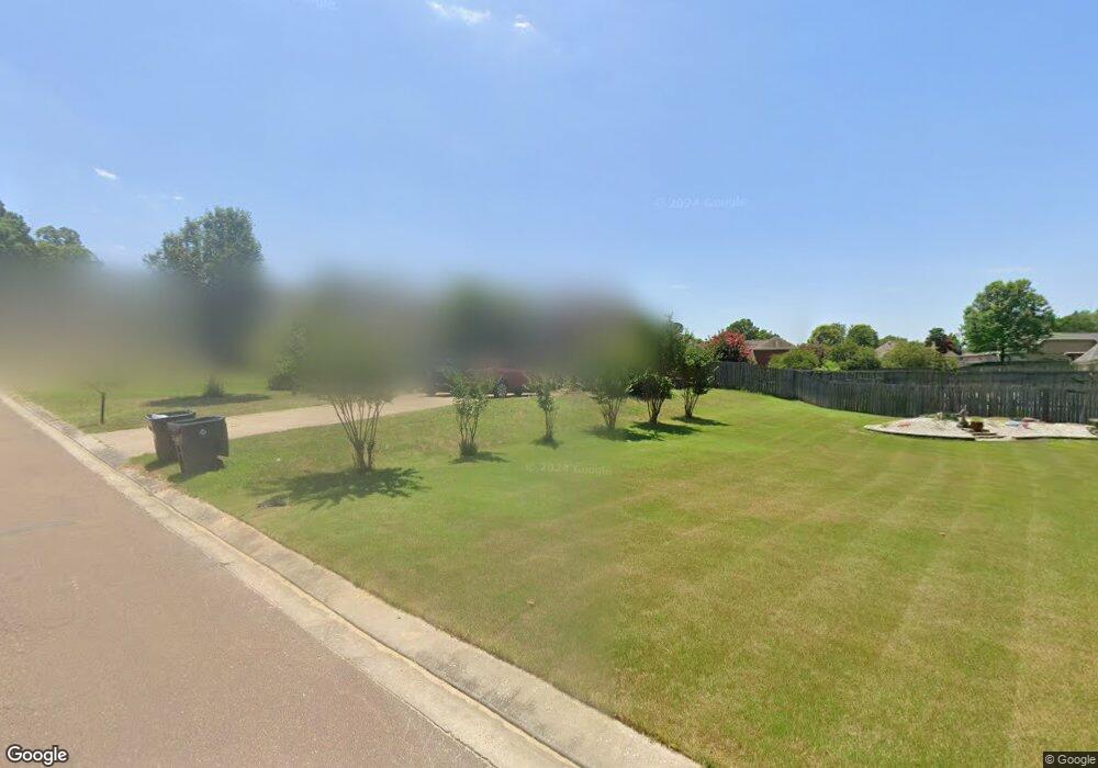
231 Desoto Ave Unit D Hernando, MS 38632
Estimated Value: $278,000 - $294,000
4
Beds
2
Baths
1,625
Sq Ft
$177/Sq Ft
Est. Value
About This Home
This home is located at 231 Desoto Ave Unit D, Hernando, MS 38632 and is currently estimated at $288,276, approximately $177 per square foot. 231 Desoto Ave Unit D is a home located in DeSoto County with nearby schools including Oak Grove Central Elementary School, Hernando Elementary School, and Hernando Hills Elementary.
Ownership History
Date
Name
Owned For
Owner Type
Purchase Details
Closed on
Nov 25, 2024
Sold by
Rei Nation Llc
Bought by
Kesani Living Trust and Kesani
Current Estimated Value
Home Financials for this Owner
Home Financials are based on the most recent Mortgage that was taken out on this home.
Original Mortgage
$203,000
Outstanding Balance
$200,652
Interest Rate
6.32%
Mortgage Type
New Conventional
Estimated Equity
$87,624
Purchase Details
Closed on
Jul 9, 2024
Sold by
Bryant Peter S and Bryant Lisa H
Bought by
Rei Nation Llc
Create a Home Valuation Report for This Property
The Home Valuation Report is an in-depth analysis detailing your home's value as well as a comparison with similar homes in the area
Home Values in the Area
Average Home Value in this Area
Purchase History
| Date | Buyer | Sale Price | Title Company |
|---|---|---|---|
| Kesani Living Trust | -- | None Listed On Document | |
| Kesani Living Trust | -- | None Listed On Document | |
| Rei Nation Llc | -- | None Listed On Document | |
| Rei Nation Llc | -- | None Listed On Document |
Source: Public Records
Mortgage History
| Date | Status | Borrower | Loan Amount |
|---|---|---|---|
| Open | Kesani Living Trust | $203,000 | |
| Closed | Kesani Living Trust | $203,000 |
Source: Public Records
Tax History Compared to Growth
Tax History
| Year | Tax Paid | Tax Assessment Tax Assessment Total Assessment is a certain percentage of the fair market value that is determined by local assessors to be the total taxable value of land and additions on the property. | Land | Improvement |
|---|---|---|---|---|
| 2025 | $2,930 | $25,146 | $3,000 | $22,146 |
| 2024 | $2,532 | $18,248 | $3,000 | $15,248 |
| 2023 | $2,532 | $18,248 | $0 | $0 |
| 2022 | $2,532 | $18,248 | $3,000 | $15,248 |
| 2021 | $2,532 | $18,248 | $3,000 | $15,248 |
| 2020 | $2,360 | $17,012 | $3,000 | $14,012 |
| 2019 | $2,360 | $17,012 | $3,000 | $14,012 |
| 2017 | $1,252 | $20,260 | $11,130 | $9,130 |
| 2016 | $1,187 | $11,130 | $2,000 | $9,130 |
| 2015 | $1,487 | $20,260 | $11,130 | $9,130 |
| 2014 | $1,152 | $11,130 | $0 | $0 |
| 2013 | $1,258 | $11,130 | $0 | $0 |
Source: Public Records
Map
Nearby Homes
- 280 Byhalia Cove
- 1715 Tara Dr
- 120 N Parkway St
- 665 Cedar Grove Cove
- 624 Bending Oak S
- 1231 Cross Creek Dr E
- 187 Cross Creek Dr
- 1280 S Lake Dr
- 1106 Fawn Dr
- 1123 Tara Dr
- 208 Elkwood Ln
- 465 Augusta Dr
- 280 Northwood Hills Dr
- 400 Timber Way S
- 1705 Cedar Lake Cove
- 285 Northwood Hills Dr
- 2035 Highway 51 S
- 509 Howell Way
- 5188 Reserve Way
- 2197 Hyacinth Ln
- 231 Desoto Ave
- 245 Desoto Ave
- 1556 Tara Dr
- 1586 Tara Dr
- 1590 Tara Dr
- 1668 Sandpiper Cove N
- 1676 Sandpiper Cove N
- 255 Desoto Ave
- 1620 Tara Dr
- 256 Desoto Ave
- 246 Desoto Ave
- 1530 Tara Dr
- 1679 Sandpiper Cove N
- 1684 Sandpiper Cove N
- 261 Desoto Ave
- 1642 Tara Dr
- 1555 Tara Dr
- 1575 Tara Dr
- 1599 Tara Dr
- 1581 Pontotoc St
