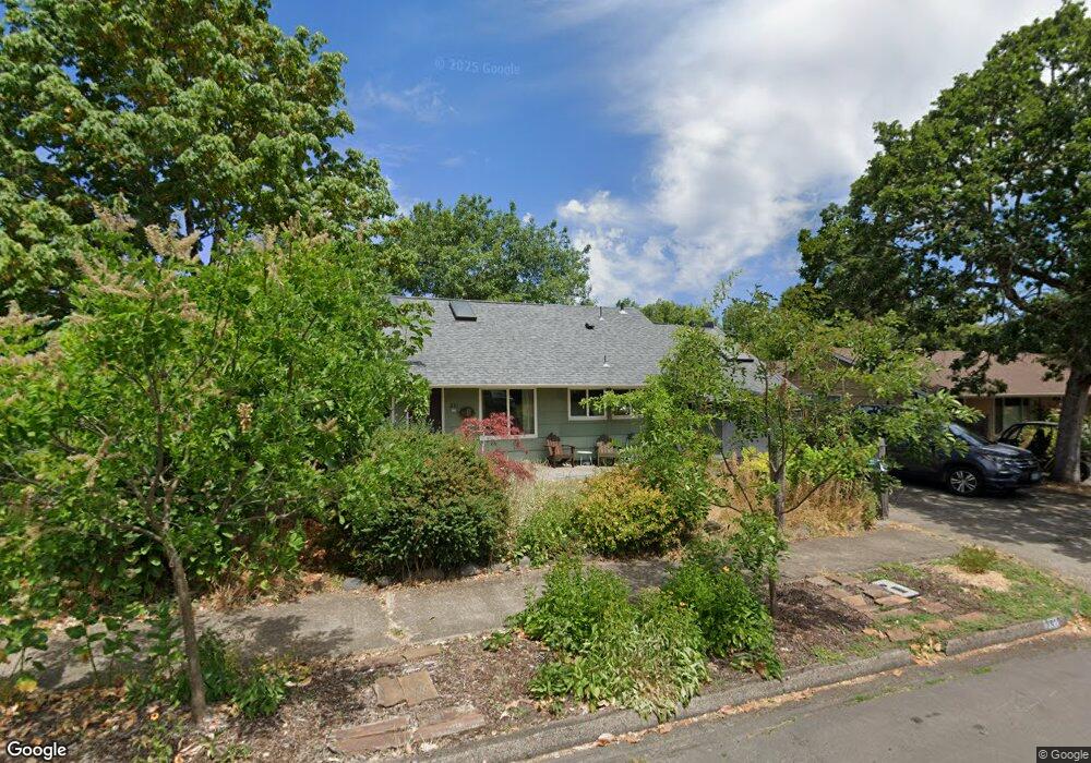
231 E 34th Ave Eugene, OR 97405
Southeast Eugene NeighborhoodEstimated Value: $567,000 - $756,000
4
Beds
2
Baths
2,142
Sq Ft
$307/Sq Ft
Est. Value
About This Home
This home is located at 231 E 34th Ave, Eugene, OR 97405 and is currently estimated at $658,378, approximately $307 per square foot. 231 E 34th Ave is a home located in Lane County with nearby schools including Camas Ridge Community Elementary School, Spencer Butte Middle School, and South Eugene High School.
Ownership History
Date
Name
Owned For
Owner Type
Purchase Details
Closed on
Oct 14, 2020
Sold by
Matese Claire Nicole and Nuckols Jason Lee
Bought by
Nuckols Jason and Matese Claire
Current Estimated Value
Purchase Details
Closed on
Aug 17, 2011
Sold by
Jeremiah May Britt O and Jeremiah Randy L
Bought by
Matese Claire Nicole and Nuckols Jason Lee
Home Financials for this Owner
Home Financials are based on the most recent Mortgage that was taken out on this home.
Original Mortgage
$265,050
Outstanding Balance
$181,656
Interest Rate
4.43%
Mortgage Type
New Conventional
Estimated Equity
$476,722
Purchase Details
Closed on
Jul 10, 2008
Sold by
Reynolds Alan Dean and Reynolds Gail L
Bought by
Jeremiah May Britt O and Jeremiah Randy L
Home Financials for this Owner
Home Financials are based on the most recent Mortgage that was taken out on this home.
Original Mortgage
$211,600
Interest Rate
5.87%
Mortgage Type
Purchase Money Mortgage
Create a Home Valuation Report for This Property
The Home Valuation Report is an in-depth analysis detailing your home's value as well as a comparison with similar homes in the area
Home Values in the Area
Average Home Value in this Area
Purchase History
| Date | Buyer | Sale Price | Title Company |
|---|---|---|---|
| Nuckols Jason | -- | None Available | |
| Matese Claire Nicole | $279,000 | Western Title & Escrow | |
| Jeremiah May Britt O | $264,500 | Western Title |
Source: Public Records
Mortgage History
| Date | Status | Borrower | Loan Amount |
|---|---|---|---|
| Open | Matese Claire Nicole | $265,050 | |
| Previous Owner | Jeremiah May Britt O | $211,600 |
Source: Public Records
Tax History
| Year | Tax Paid | Tax Assessment Tax Assessment Total Assessment is a certain percentage of the fair market value that is determined by local assessors to be the total taxable value of land and additions on the property. | Land | Improvement |
|---|---|---|---|---|
| 2025 | $5,378 | $276,002 | -- | -- |
| 2024 | $5,311 | $267,964 | -- | -- |
| 2023 | $5,311 | $260,160 | $0 | $0 |
| 2022 | $4,975 | $252,583 | $0 | $0 |
| 2021 | $4,673 | $245,227 | $0 | $0 |
| 2020 | $4,689 | $238,085 | $0 | $0 |
| 2019 | $4,529 | $231,151 | $0 | $0 |
| 2018 | $4,263 | $217,883 | $0 | $0 |
| 2017 | $4,072 | $217,883 | $0 | $0 |
| 2016 | $3,971 | $211,537 | $0 | $0 |
| 2015 | $3,857 | $205,376 | $0 | $0 |
| 2014 | $3,779 | $199,394 | $0 | $0 |
Source: Public Records
Map
Nearby Homes
- 310 1/2 E 31st Ave Unit 1
- 555 Stafford Ct
- 585 E 36th Ave
- 3023 Hummingbird Ln
- 3031 Hummingbird Ln
- 790 E 32nd Ave
- 75 W 35th Place
- 275 E 39th Ave
- 2965 Olive St
- 0 E 39th Ave
- 434 E 39th Ave
- 2815 Hilyard St
- 170 E 40th Ave
- 357 W 37th Ave
- 320 Dellwood Dr
- 3593 Lawrence St
- 4023 Donald St Unit K
- 4083 Donald St Unit A
- 84 W 27th Ave
- 605 Fulvue Dr
Your Personal Tour Guide
Ask me questions while you tour the home.