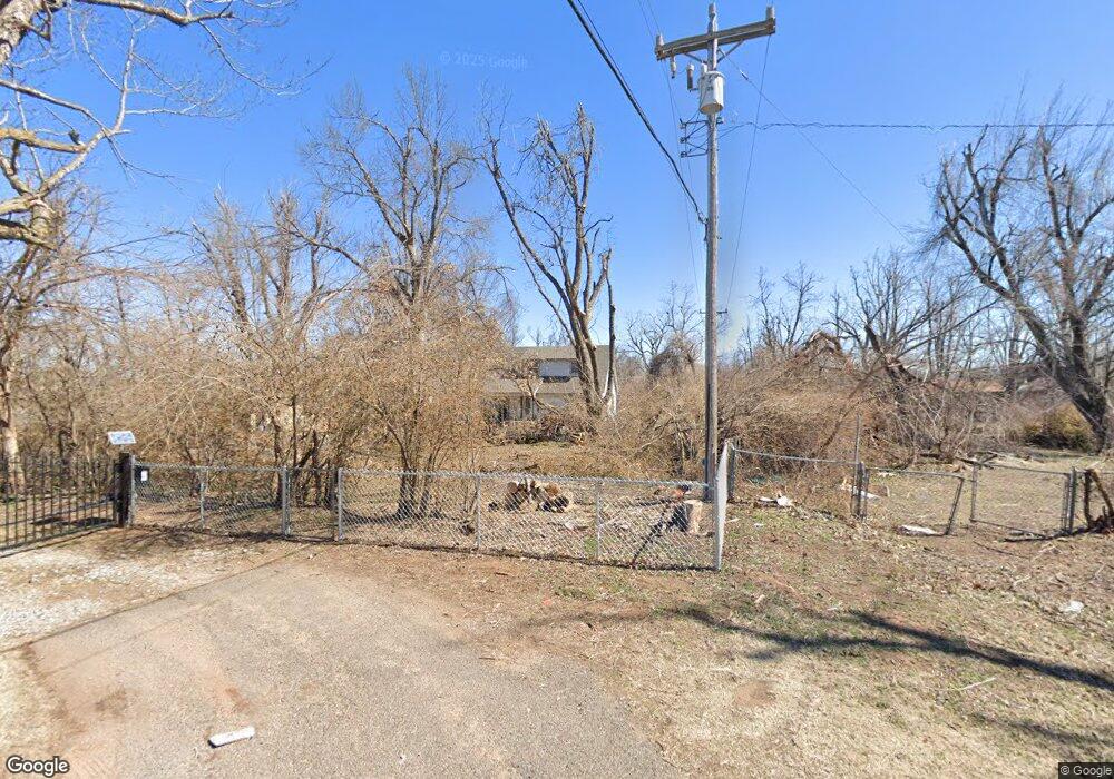
231 E Forster Ln Mustang, OK 73064
Estimated Value: $151,000 - $198,000
4
Beds
2
Baths
1,028
Sq Ft
$163/Sq Ft
Est. Value
About This Home
This home is located at 231 E Forster Ln, Mustang, OK 73064 and is currently estimated at $167,129, approximately $162 per square foot. 231 E Forster Ln is a home located in Canadian County with nearby schools including Mustang Elementary School, Mustang Horizon Intermediate School, and Mustang Middle School.
Ownership History
Date
Name
Owned For
Owner Type
Purchase Details
Closed on
Jul 17, 2009
Sold by
Davenport Roy D
Bought by
Collins Neal A
Current Estimated Value
Home Financials for this Owner
Home Financials are based on the most recent Mortgage that was taken out on this home.
Original Mortgage
$64,000
Outstanding Balance
$41,426
Interest Rate
5.39%
Mortgage Type
New Conventional
Estimated Equity
$125,703
Purchase Details
Closed on
Apr 28, 2008
Sold by
Downing Leo Ray and Dowing Kimberly Lynn
Bought by
Davenport Roy D
Home Financials for this Owner
Home Financials are based on the most recent Mortgage that was taken out on this home.
Original Mortgage
$22,000
Interest Rate
5.84%
Mortgage Type
Unknown
Purchase Details
Closed on
Nov 3, 1989
Purchase Details
Closed on
Aug 11, 1988
Purchase Details
Closed on
Apr 11, 1988
Create a Home Valuation Report for This Property
The Home Valuation Report is an in-depth analysis detailing your home's value as well as a comparison with similar homes in the area
Home Values in the Area
Average Home Value in this Area
Purchase History
| Date | Buyer | Sale Price | Title Company |
|---|---|---|---|
| Collins Neal A | $80,000 | American Eagle Title Insuran | |
| Davenport Roy D | $20,625 | None Available | |
| -- | $38,500 | -- | |
| -- | -- | -- | |
| -- | $47,000 | -- |
Source: Public Records
Mortgage History
| Date | Status | Borrower | Loan Amount |
|---|---|---|---|
| Open | Collins Neal A | $64,000 | |
| Previous Owner | Davenport Roy D | $22,000 |
Source: Public Records
Tax History Compared to Growth
Tax History
| Year | Tax Paid | Tax Assessment Tax Assessment Total Assessment is a certain percentage of the fair market value that is determined by local assessors to be the total taxable value of land and additions on the property. | Land | Improvement |
|---|---|---|---|---|
| 2025 | $966 | $10,800 | $3,176 | $7,624 |
| 2024 | $916 | $10,486 | $3,083 | $7,403 |
| 2023 | $916 | $10,181 | $2,826 | $7,355 |
| 2022 | $897 | $9,884 | $2,826 | $7,058 |
| 2021 | $872 | $9,599 | $2,592 | $7,007 |
| 2020 | $849 | $9,320 | $2,422 | $6,898 |
| 2019 | $821 | $9,048 | $2,261 | $6,787 |
| 2018 | $811 | $8,785 | $2,261 | $6,524 |
| 2017 | $776 | $8,529 | $2,261 | $6,268 |
| 2016 | $752 | $8,529 | $2,261 | $6,268 |
| 2015 | -- | $8,039 | $2,261 | $5,778 |
| 2014 | -- | $7,666 | $2,261 | $5,405 |
Source: Public Records
Map
Nearby Homes
- 223 E Juniper Ln
- 327 E Linden Ln
- 312 E Greenwood Ln
- 316 E Greenwood Ln
- 516 S Brookview Ln
- 3409 Little Creek Dr
- 3321 Little Creek Dr
- 3301 Little Creek Dr
- 3325 Little Creek Dr
- 3329 Little Creek Dr
- 3309 Little Creek Dr
- 427 S Castlerock Circle Ln
- 608 E Juniper Ln
- 605 E Greenwood Ln
- 1112 S Appaloosa Ln
- 14900 SW 74th St
- 14842 SW 74th St
- 629 E Elder Ln
- 405 W Hillcrest Dr
- 3640 Blue Ave
- 223 E Forster Ln
- 237 E Mohr Ln
- 224 E Forster Ln
- 219 E Forster Ln
- 301 E Mohr Ln
- 215 E Forster Ln
- 211 E Forster Ln
- 224 E Juniper Ln
- 229 E Mohr Ln
- 806 S Lewis Ln
- 737 S Brookview Ln
- 300 E Linden Ln
- 307 E Mohr Ln
- 733 S Brookview Ln
- 215 E Perry Ln
- 304 E Linden Ln
- 729 S Brookview Ln
- 234 E Hillcrest Ln
- 315 E Mohr Ln
- 719 S Lewis Ln