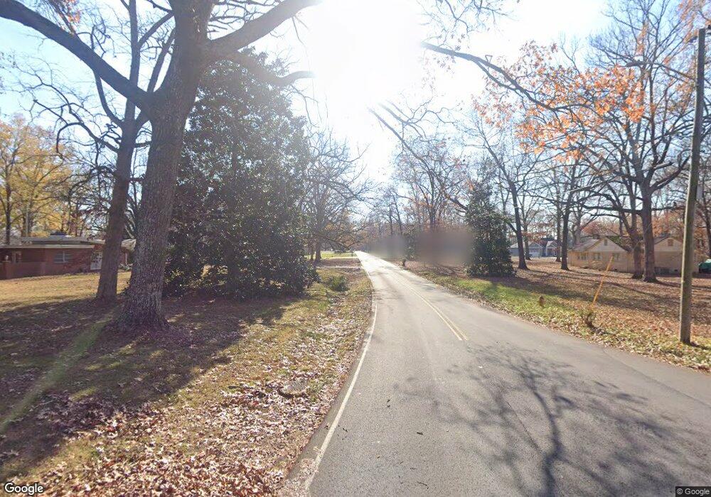
231 Laurel Forrest Ln Tullahoma, TN 37388
Estimated Value: $650,000 - $1,006,000
--
Bed
3
Baths
3,355
Sq Ft
$228/Sq Ft
Est. Value
About This Home
This home is located at 231 Laurel Forrest Ln, Tullahoma, TN 37388 and is currently estimated at $766,379, approximately $228 per square foot. 231 Laurel Forrest Ln is a home located in Coffee County with nearby schools including Hickerson Elementary School, Coffee County Middle School, and Coffee County Central High School.
Ownership History
Date
Name
Owned For
Owner Type
Purchase Details
Closed on
Jul 12, 2013
Sold by
Lynch Loren Scott
Bought by
Horton Herbert Merle and Horton Julie Renea
Current Estimated Value
Home Financials for this Owner
Home Financials are based on the most recent Mortgage that was taken out on this home.
Original Mortgage
$272,500
Outstanding Balance
$198,816
Interest Rate
4%
Mortgage Type
Commercial
Estimated Equity
$567,563
Purchase Details
Closed on
Mar 7, 2005
Purchase Details
Closed on
May 25, 2001
Bought by
Lynch Loren Scott
Create a Home Valuation Report for This Property
The Home Valuation Report is an in-depth analysis detailing your home's value as well as a comparison with similar homes in the area
Home Values in the Area
Average Home Value in this Area
Purchase History
| Date | Buyer | Sale Price | Title Company |
|---|---|---|---|
| Horton Herbert Merle | $422,500 | -- | |
| -- | $40,000 | -- | |
| Lynch Loren Scott | $60,700 | -- |
Source: Public Records
Mortgage History
| Date | Status | Borrower | Loan Amount |
|---|---|---|---|
| Open | Horton Herbert Merle | $272,500 |
Source: Public Records
Tax History Compared to Growth
Tax History
| Year | Tax Paid | Tax Assessment Tax Assessment Total Assessment is a certain percentage of the fair market value that is determined by local assessors to be the total taxable value of land and additions on the property. | Land | Improvement |
|---|---|---|---|---|
| 2024 | $3,133 | $134,425 | $15,125 | $119,300 |
| 2023 | $3,133 | $134,425 | $0 | $0 |
| 2022 | $3,133 | $134,425 | $15,125 | $119,300 |
| 2021 | $2,929 | $99,900 | $9,075 | $90,825 |
| 2020 | $2,929 | $99,900 | $9,075 | $90,825 |
| 2019 | $2,929 | $99,900 | $9,075 | $90,825 |
| 2018 | $2,929 | $99,900 | $9,075 | $90,825 |
| 2017 | $3,158 | $96,800 | $9,550 | $87,250 |
| 2016 | $3,158 | $96,800 | $9,550 | $87,250 |
| 2015 | $3,158 | $96,800 | $9,550 | $87,250 |
| 2014 | $3,158 | $96,780 | $0 | $0 |
Source: Public Records
Map
Nearby Homes
- 4547 Old Manchester Hwy
- 4342 New Manchester Hwy
- 53 Jesse Ct
- 78 Willow Pointe Dr
- 205 Nature Ridge Rd
- 824 Carter Blake Rd
- 112 Hummingbird Dr
- 310 Crest Dr
- 363 Waterford Dr
- 2100 A St
- 65 Anthony Mill Rd
- 99 Anthony Mill Rd
- 100 Rose Way
- 0 Short Springs Rd Unit RTC3030805
- 0 Short Springs Rd Unit RTC2969280
- 130 Thomaswood Chase
- 4775 New Tullahoma Hwy
- 104 Breckenridge Rd
- 203 Huntington Place
- 309 New Kent Ct
- 0 Old Manchester Hwy Unit 1635199
- 0 Old Manchester Hwy Unit RTC2598625
- 0 Old Manchester Hwy Unit 2210204
- 0 Old Manchester Hwy Unit 2205658
- 196 N Ranches Rd
- 4083 Old Manchester Hwy Unit 4083
- 4212 Old Manchester Hwy Unit 4212
- 4264 Old Manchester Hwy
- 4264 Old Manchester Hwy Unit 4264
- 4304 Old Manchester Hwy Unit 4304
- 4238 Old Manchester Hwy
- 4419 Old Manchester Hwy
- 4419 Old Manchester Hwy Unit 4419
- 4416 Old Manchester Hwy Unit 4416
- 4416 Old Manchester Hwy Unit 4416
- 4485 Old Manchester Hwy Unit 4485
- 4243 New Manchester Hwy
- 3994 Old Manchester Hwy
- 4502 Old Manchester Hwy Unit 4502
