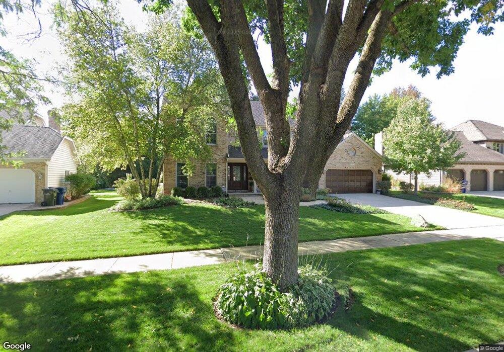
2311 Boulder Ct Naperville, IL 60565
Springbrook Prairie NeighborhoodEstimated Value: $745,910 - $824,000
Studio
1
Bath
2,891
Sq Ft
$274/Sq Ft
Est. Value
About This Home
This home is located at 2311 Boulder Ct, Naperville, IL 60565 and is currently estimated at $791,228, approximately $273 per square foot. 2311 Boulder Ct is a home located in Will County with nearby schools including Spring Brook Elementary School, Gordon Gregory Middle School, and Neuqua Valley High School.
Ownership History
Date
Name
Owned For
Owner Type
Purchase Details
Closed on
Jun 16, 2015
Sold by
Sangalis Theodore D and Sangalis Lesa A
Bought by
The Lesa A Sangalis Trust
Current Estimated Value
Purchase Details
Closed on
Jun 29, 1992
Bought by
Sangalis Theodor
Create a Home Valuation Report for This Property
The Home Valuation Report is an in-depth analysis detailing your home's value as well as a comparison with similar homes in the area
Home Values in the Area
Average Home Value in this Area
Purchase History
| Date | Buyer | Sale Price | Title Company |
|---|---|---|---|
| The Lesa A Sangalis Trust | -- | Attorney | |
| Sangalis Theodor | $249,000 | -- |
Source: Public Records
Tax History
| Year | Tax Paid | Tax Assessment Tax Assessment Total Assessment is a certain percentage of the fair market value that is determined by local assessors to be the total taxable value of land and additions on the property. | Land | Improvement |
|---|---|---|---|---|
| 2024 | $14,015 | $221,968 | $57,627 | $164,341 |
| 2023 | $14,015 | $196,085 | $50,907 | $145,178 |
| 2022 | $12,953 | $184,782 | $48,157 | $136,625 |
| 2021 | $12,382 | $175,983 | $45,864 | $130,119 |
| 2020 | $12,147 | $173,194 | $45,137 | $128,057 |
| 2019 | $11,939 | $168,313 | $43,865 | $124,448 |
| 2018 | $11,908 | $164,964 | $42,901 | $122,063 |
| 2017 | $11,727 | $160,705 | $41,793 | $118,912 |
| 2016 | $11,705 | $157,245 | $40,893 | $116,352 |
| 2015 | $11,701 | $151,197 | $39,320 | $111,877 |
| 2014 | $11,701 | $148,251 | $39,320 | $108,931 |
| 2013 | $11,701 | $148,251 | $39,320 | $108,931 |
Source: Public Records
Map
Nearby Homes
- 10S144 Ridge Rd
- 1137 Crimson Ct
- 2347 Wilmington Ct
- 2711 Wendy Dr
- 2627 Homestead Dr
- 1321 Galena Ct
- 723 Mesa Dr
- 2240 Mecan Dr
- 1126 Starlite Ct
- 2726 Seiler Dr Unit 2
- 484 Blodgett Ct
- 28W555 Leverenz Rd
- 2802 Wedgewood Dr
- 28W587 Leverenz Rd
- 2308 Modaff Rd
- 820 Spring Creek Cir
- 352 Danbury Dr
- 364 Avena Cir
- 719 Eagle Brook Ln Unit 4
- 388 Du Pahze St
- 2307 Boulder Ct
- 2315 Boulder Ct
- 2308 Rock Ct
- 2303 Boulder Ct
- 2319 Boulder Ct
- 2312 Rock Ct Unit 1
- 908 Rock Spring Rd
- 2313 Boulder Ct
- 2308 Boulder Ct
- 2320 Boulder Ct
- 912 Rock Spring Rd
- 824 Rock Spring Rd
- 2316 Boulder Ct
- 2311 Rock Ct
- 820 Rock Spring Rd
- 935 Leverenz Rd
- 931 Leverenz Rd
- 939 Leverenz Rd
- 907 Rock Spring Rd
- 903 Rock Spring Rd
Your Personal Tour Guide
Ask me questions while you tour the home.