2313 Houston Cir Whitefish, MT 59937
Estimated Value: $1,891,000 - $2,714,938
5
Beds
4
Baths
3,769
Sq Ft
$600/Sq Ft
Est. Value
About This Home
This home is located at 2313 Houston Cir, Whitefish, MT 59937 and is currently estimated at $2,260,735, approximately $599 per square foot. 2313 Houston Cir is a home located in Flathead County with nearby schools including L.A. Muldown School, Whitefish Middle School, and Whitefish High School.
Ownership History
Date
Name
Owned For
Owner Type
Purchase Details
Closed on
Jan 21, 2010
Sold by
Stark Warren and Stark Teresa
Bought by
White Daniel and Bergstrom White Jacalyn
Current Estimated Value
Home Financials for this Owner
Home Financials are based on the most recent Mortgage that was taken out on this home.
Original Mortgage
$417,000
Outstanding Balance
$273,229
Interest Rate
4.91%
Mortgage Type
Credit Line Revolving
Estimated Equity
$1,987,506
Create a Home Valuation Report for This Property
The Home Valuation Report is an in-depth analysis detailing your home's value as well as a comparison with similar homes in the area
Home Values in the Area
Average Home Value in this Area
Purchase History
| Date | Buyer | Sale Price | Title Company |
|---|---|---|---|
| White Daniel | -- | Fidelity National Title |
Source: Public Records
Mortgage History
| Date | Status | Borrower | Loan Amount |
|---|---|---|---|
| Open | White Daniel | $417,000 |
Source: Public Records
Tax History
| Year | Tax Paid | Tax Assessment Tax Assessment Total Assessment is a certain percentage of the fair market value that is determined by local assessors to be the total taxable value of land and additions on the property. | Land | Improvement |
|---|---|---|---|---|
| 2025 | $9,679 | $1,972,900 | $0 | $0 |
| 2024 | $7,586 | $1,516,000 | $0 | $0 |
| 2023 | $7,709 | $1,516,000 | $0 | $0 |
| 2022 | $7,732 | $1,086,700 | $0 | $0 |
| 2021 | $8,975 | $1,086,700 | $0 | $0 |
| 2020 | $7,645 | $938,500 | $0 | $0 |
| 2019 | $8,238 | $938,500 | $0 | $0 |
| 2018 | $7,672 | $856,031 | $0 | $0 |
| 2017 | $7,178 | $856,031 | $0 | $0 |
| 2016 | $6,660 | $786,800 | $0 | $0 |
| 2015 | $6,742 | $786,800 | $0 | $0 |
| 2014 | $4,478 | $306,446 | $0 | $0 |
Source: Public Records
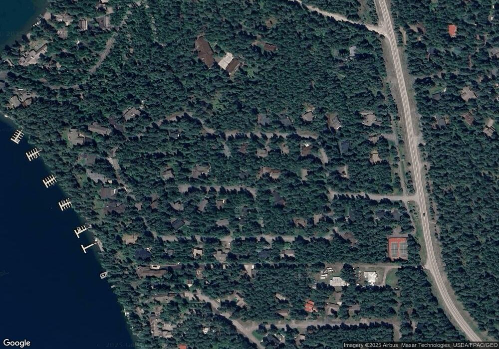
Map
Nearby Homes
- 2130 Houston Dr
- 122 Kinnikinnik Cir
- 1922 Sun Crest Dr Unit 1
- 1939 Sun Crest Dr
- 1400 Wisconsin Ave Unit 108
- 231 Arrowhead Dr
- 105 Yampah Ln
- 1380 Wisconsin Ave Unit Room 244 (R16)
- 121 Whitefish Forest Loop
- 168 Whitefish Lookout Rd
- 201 Whitefish Lookout Rd
- 3023 Iron Horse Dr
- Nhn Big Mountain Rd
- 1004 Colorado Ave
- 105 Cedar Way
- 292 Reservoir Rd
- 1000 Colorado Ave
- 988 Colorado Ave Unit 9A
- 988 Colorado Ave Unit 9A & 9B
- 988 Colorado Ave Unit 9B
- 2286 Houston Cir
- 2313 Houston Point Dr
- 2304 Houston Cir
- 2309 Houston Cir
- 2315 Houston Point Dr
- 2311 Houston Point Dr
- 2308 Houston Cir
- 2279 Houston Point Dr
- 2305 Houston Cir
- 2317 Houston Point Dr
- 2390 Houston Point Dr
- 2325 Houston Cir
- 2308 Houston Point Dr
- 2312 Houston Cir
- 2307 Houston Point Dr
- 2281 Houston Point Dr
- 2321 Houston Point Dr
- 2319 Houston Point Dr
- 2314 Houston Point Dr
- 2271 Houston Point Dr
Your Personal Tour Guide
Ask me questions while you tour the home.