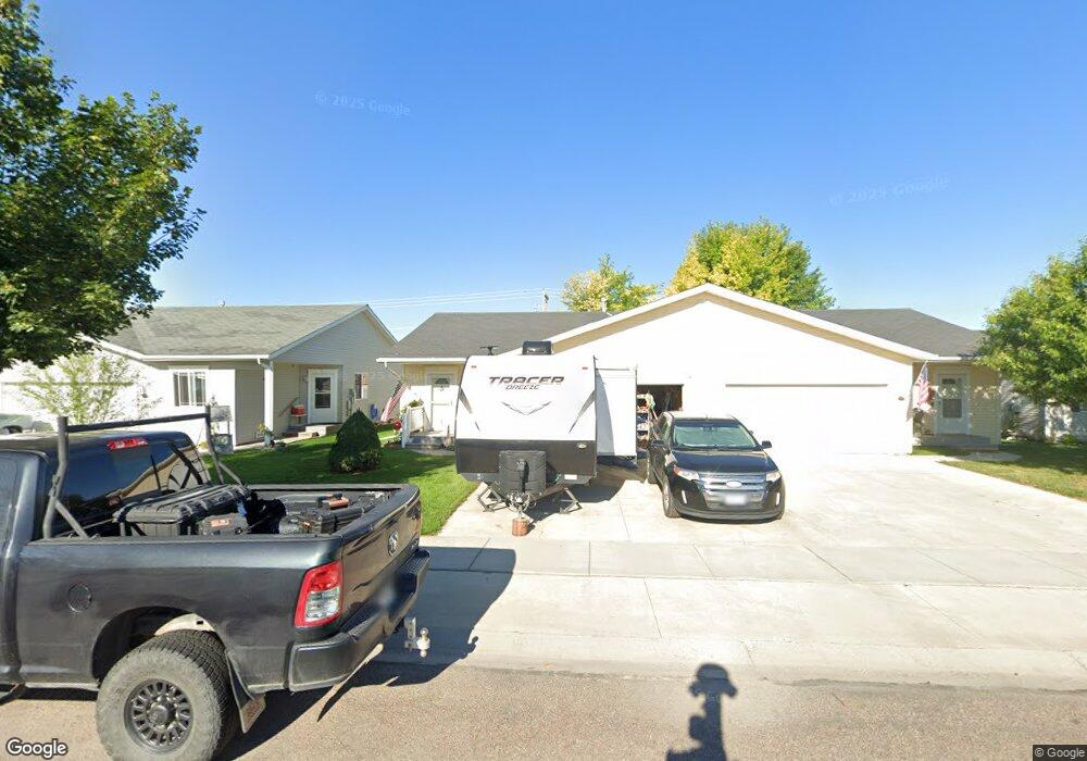
232 Empire Loop Kalispell, MT 59901
Estimated Value: $380,000 - $398,000
2
Beds
2
Baths
1,280
Sq Ft
$302/Sq Ft
Est. Value
About This Home
This home is located at 232 Empire Loop, Kalispell, MT 59901 and is currently estimated at $386,506, approximately $301 per square foot. 232 Empire Loop is a home located in Flathead County with nearby schools including Edgerton School, Kalispell Middle School, and Glacier High School.
Ownership History
Date
Name
Owned For
Owner Type
Purchase Details
Closed on
Jul 6, 2007
Sold by
Brunaugh Thomas D and Brunaugh Marlene M
Bought by
Weinberg Debra and Weinberg Roger
Current Estimated Value
Home Financials for this Owner
Home Financials are based on the most recent Mortgage that was taken out on this home.
Original Mortgage
$152,200
Outstanding Balance
$94,432
Interest Rate
6.36%
Mortgage Type
Purchase Money Mortgage
Estimated Equity
$292,074
Purchase Details
Closed on
Dec 19, 2005
Sold by
Ron Terry Construction Inc
Bought by
Brunaugh Thomas D and Brunaugh Marlene M
Create a Home Valuation Report for This Property
The Home Valuation Report is an in-depth analysis detailing your home's value as well as a comparison with similar homes in the area
Purchase History
| Date | Buyer | Sale Price | Title Company |
|---|---|---|---|
| Weinberg Debra | -- | Sterling Title Services Inc | |
| Brunaugh Thomas D | -- | Sterling Title Services Inc |
Source: Public Records
Mortgage History
| Date | Status | Borrower | Loan Amount |
|---|---|---|---|
| Open | Weinberg Debra | $152,200 |
Source: Public Records
Tax History
| Year | Tax Paid | Tax Assessment Tax Assessment Total Assessment is a certain percentage of the fair market value that is determined by local assessors to be the total taxable value of land and additions on the property. | Land | Improvement |
|---|---|---|---|---|
| 2025 | $366 | $385,300 | $0 | $0 |
| 2024 | $475 | $304,800 | $0 | $0 |
| 2023 | $1,324 | $304,800 | $0 | $0 |
| 2022 | $612 | $220,900 | $0 | $0 |
| 2021 | $836 | $220,900 | $0 | $0 |
| 2020 | $622 | $190,100 | $0 | $0 |
| 2019 | $620 | $190,100 | $0 | $0 |
| 2018 | $579 | $164,900 | $0 | $0 |
| 2017 | $579 | $164,900 | $0 | $0 |
| 2016 | $483 | $143,800 | $0 | $0 |
| 2015 | $1,693 | $143,800 | $0 | $0 |
| 2014 | $1,680 | $85,595 | $0 | $0 |
Source: Public Records
Map
Nearby Homes
- 38 Vanderbilt Dr
- 63 Empire Loop
- 90 Empire Loop
- 17 Empire Loop
- 174 Empire Loop
- 140 Barron Way
- 249 Three Mile Dr
- 287 Kara Dr
- 240 Kara Dr
- 408 Needlegrass Ln
- 417 Needlegrass Ln
- 119 Barron Way
- 210 Kara Dr
- 224 Kara Dr
- 108 Hearst Dr
- 433 Needlegrass Ln
- 412 Needlegrass Ln
- 424 Needlegrass Ln
- 420 Needlegrass Ln
- 429 Needlegrass Ln
- 230 Empire Loop
- 234 Empire Loop
- 228 Empire Loop
- 236 Empire Loop
- 226 Empire Loop
- 238 Empire Loop
- 6 Carnegie Dr
- 224 Empire Loop
- 240 Empire Loop
- 11 Carnegie Dr
- 9 Carnegie Dr
- 7 Vanderbilt Dr
- 242 Empire Loop
- 122 Fly Way
- 126 Fly Way
- 222 Empire Loop
- 10 Carnegie Dr
- 223 Empire Loop
- 244 Empire Loop
- 11 Vanderbilt Dr
Your Personal Tour Guide
Ask me questions while you tour the home.