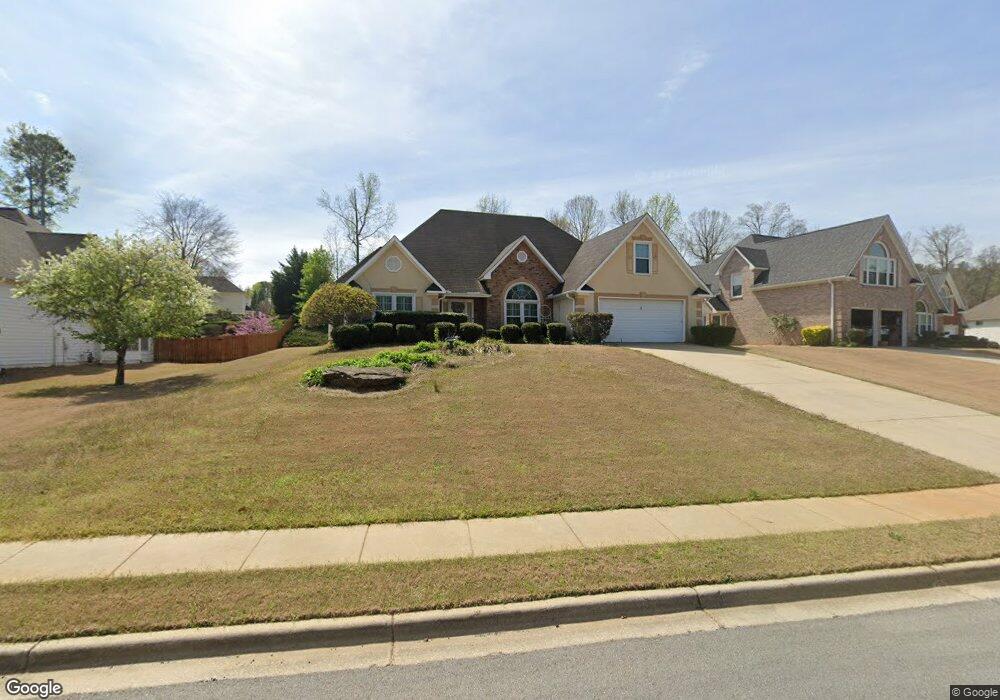
232 Memory Ln Stockbridge, GA 30281
Stockbridge AreaEstimated Value: $308,518 - $351,000
About This Home
This home is located at 232 Memory Ln, Stockbridge, GA 30281 and is currently estimated at $328,130, approximately $136 per square foot. 232 Memory Ln is a home located in Henry County with nearby schools including Red Oak Elementary School, Dutchtown Middle School, and Dutchtown High School.
Ownership History
We collect this data history from publicly available records. To have your information removed, we recommend requesting removal directly through your county’s website.
Purchase Details
Home Values in the Area
Average Home Value in this Area
Purchase History
We collect this data history from publicly available records. To have your information removed, we recommend requesting removal directly through your county’s website.
| Date | Buyer | Sale Price | Title Company |
|---|---|---|---|
| $181,000 | -- |
Mortgage History
We collect this data history from publicly available records. To have your information removed, we recommend requesting removal directly through your county’s website.
| Date | Status | Borrower | Loan Amount |
|---|---|---|---|
| Open | $140,000 | ||
| Closed | $151,878 |
Tax History
We collect this data history from publicly available records. To have your information removed, we recommend requesting removal directly through your county’s website.
| Year | Tax Paid | Tax Assessment Tax Assessment Total Assessment is a certain percentage of the fair market value that is determined by local assessors to be the total taxable value of land and additions on the property. | Land | Improvement |
|---|---|---|---|---|
| 2025 | $1,378 | $127,640 | $18,000 | $109,640 |
| 2024 | $1,378 | $129,320 | $18,000 | $111,320 |
| 2023 | $1,106 | $131,320 | $14,000 | $117,320 |
| 2022 | $849 | $105,560 | $14,000 | $91,560 |
| 2021 | $849 | $89,760 | $14,000 | $75,760 |
| 2020 | $889 | $81,680 | $10,000 | $71,680 |
| 2019 | $765 | $76,920 | $10,000 | $66,920 |
| 2018 | $765 | $73,360 | $10,000 | $63,360 |
| 2016 | $1,823 | $63,480 | $12,000 | $51,480 |
| 2015 | $1,695 | $56,040 | $7,200 | $48,840 |
| 2014 | $1,924 | $50,960 | $7,200 | $43,760 |
Map
- 231 Memory Ln
- 0 S Speer Rd Unit 7720430
- 0 S Speer Rd Unit 10692806
- 1009 Chads Ridge
- 3392 Lost Valley Dr
- 155 Spivey Glen Dr
- 8143 Spivey Rd
- 105 Shaw Ln
- 7954 Spivey Rd
- 576 Ransom Way
- 620 Edgecombe
- 609 Jeans Cir
- 540 Anglewood Trace
- 702 Berkeley Dr
- 378 Berkeley Dr
- 719 Berkeley Dr
- 717 Berkeley Dr
- 608 Brookwater Dr
- 424 Payton Ct
- 602 Brookwater Dr
Ask me questions while you tour the home.